spruce ledge camp to laura woodward shelter
17 August 2020 — 3 min read
miles: 22.3
i almost broke my neck today. i was hiking along a reasonably easy stretch, i tripped, and went headfirst over a 10 foot cliff. thankfully i grabbed a sapling on the way down and that swung me around until i was hanging from it 2 feet off the ground. my water bottles both flew out of my pack and down the hill.
today wasn’t a great day. despite pretty good weather, the trail was annoying. almost all day i kept getting hit in the face with branches. over and over again. my hat came off several times. very annoying. additionally there are these white, pock marked rocks about. i don’t know what type they are, but they are slippery even when dry. very treacherous.
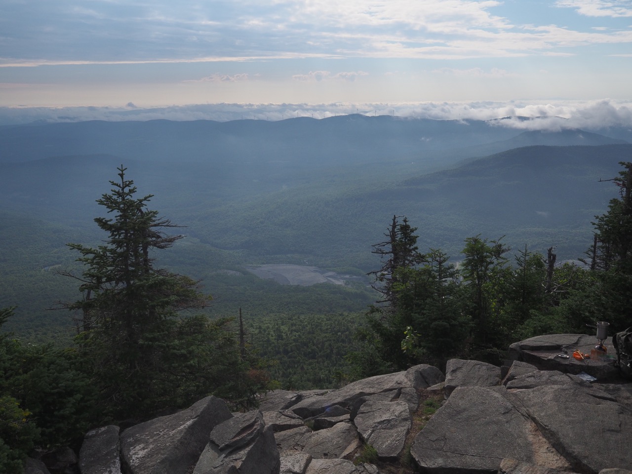
sunrise at the lookout.
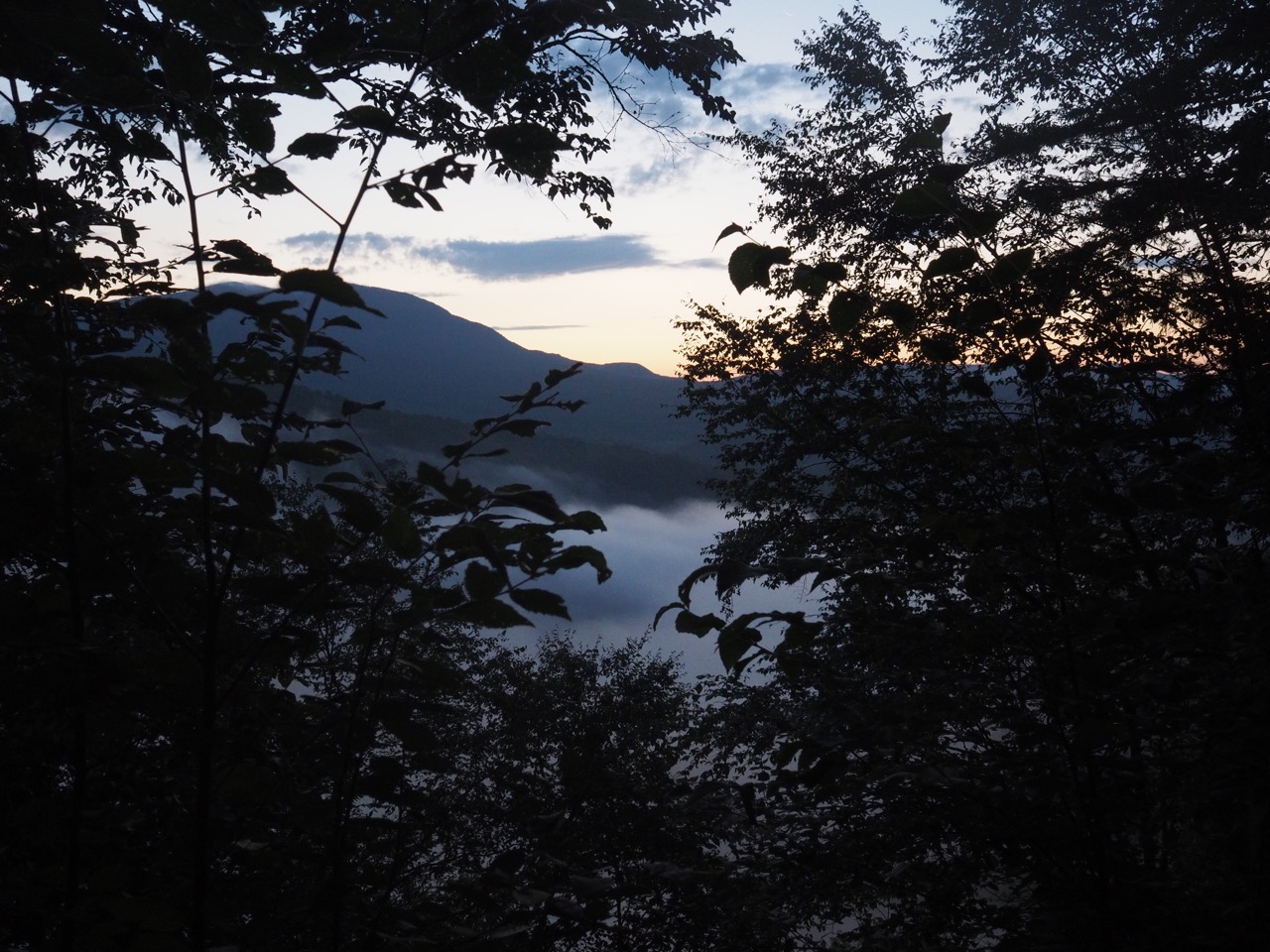
nails, swamp donkey and i woke pretty early and were on trail just after 0600hr. they left a few minutes before me, but i had passed them by the time we had done the .3 mile to devil’s gulch. devil’s gulch was really neat, a small valley with huge rocks in it. sadly it was too dark to get any decent photos. i’m hoping to get some on the way back through SOBO.
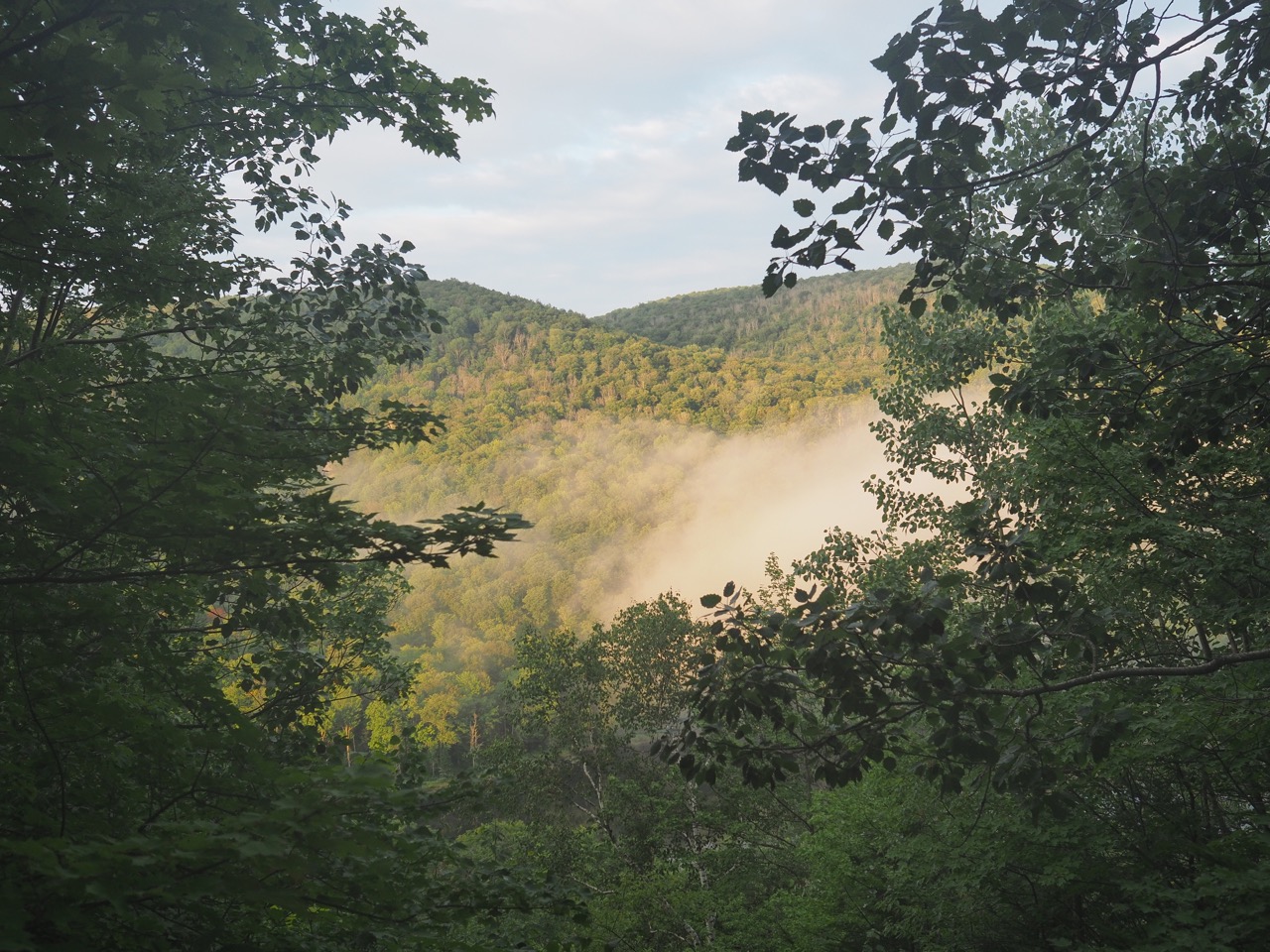
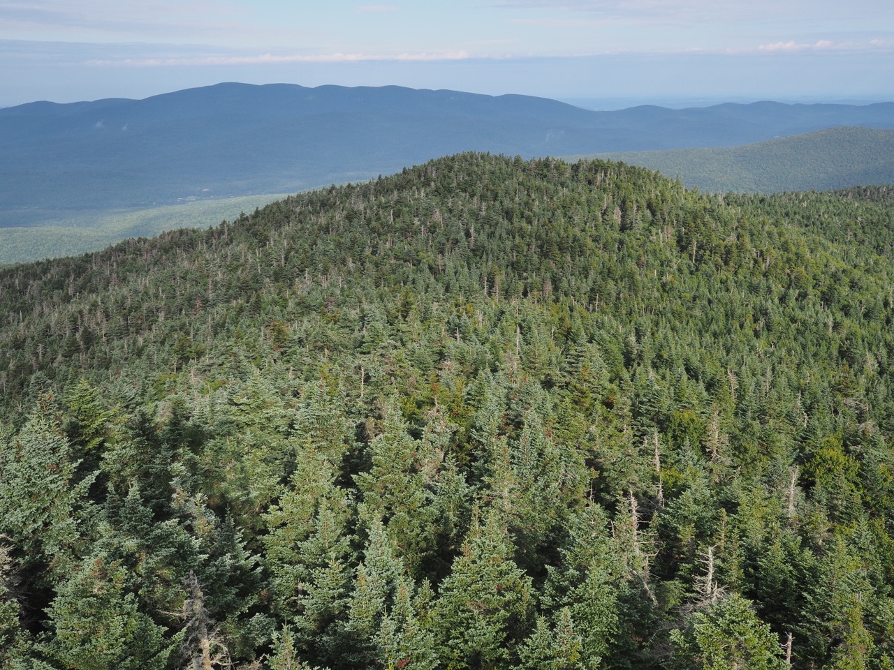
i climbed just a little to ritterbush lookout.
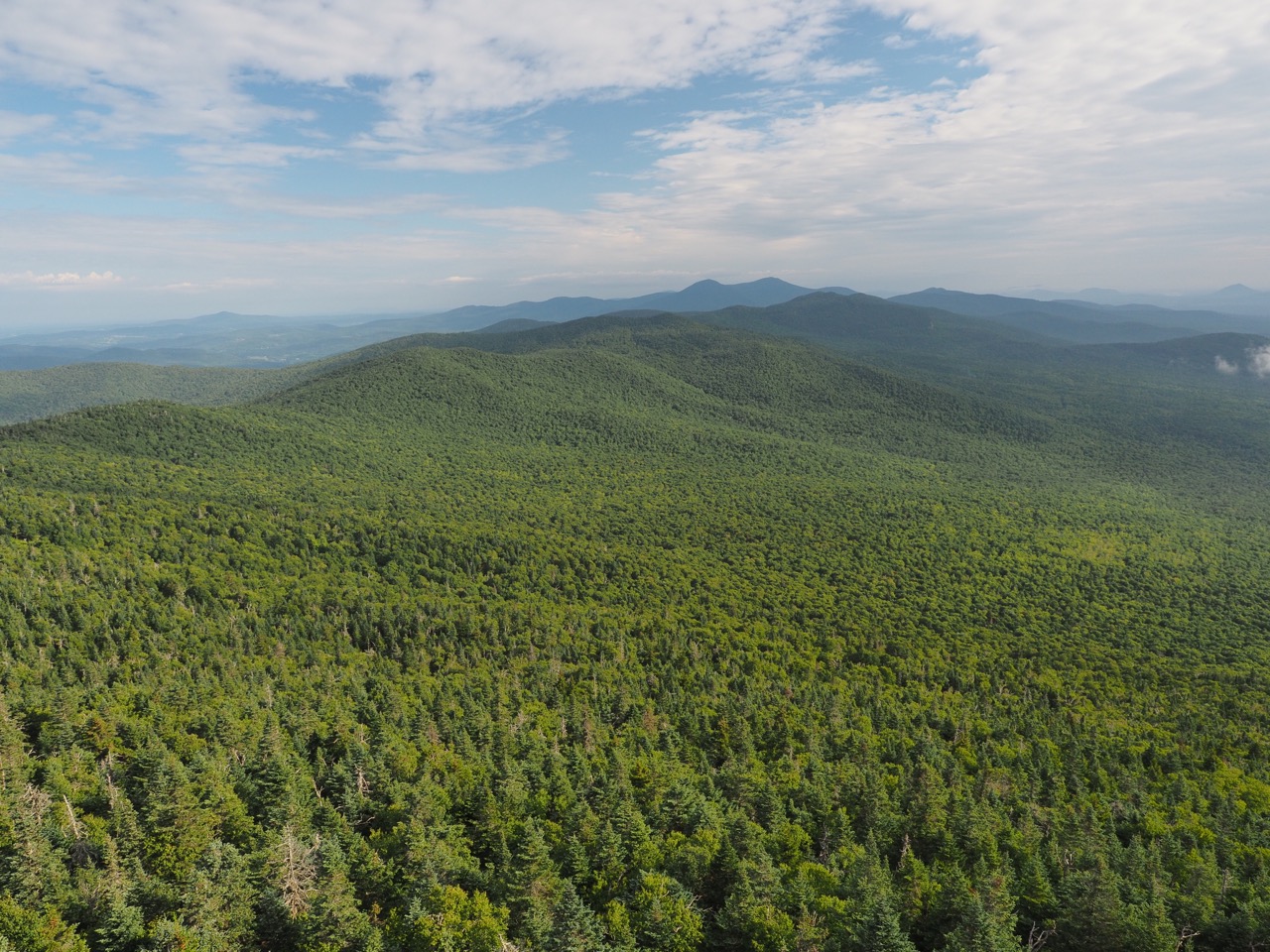
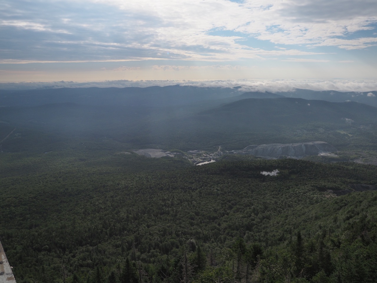
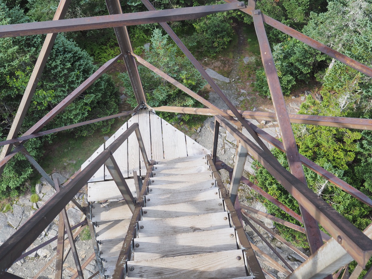
then continued up mt. belvidere. i took the .2 side trail to the top to see the view from the fire tower. a day hiker was up there. he plans to do a NOBO hike in september. i also returned his sunglasses to him. i found them halfway up mt. belvidere, he thought they were just gone. his first trail magic!
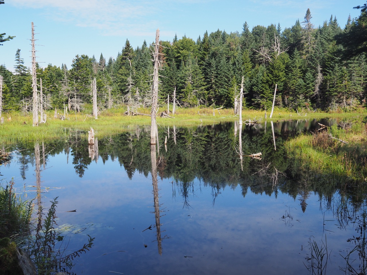
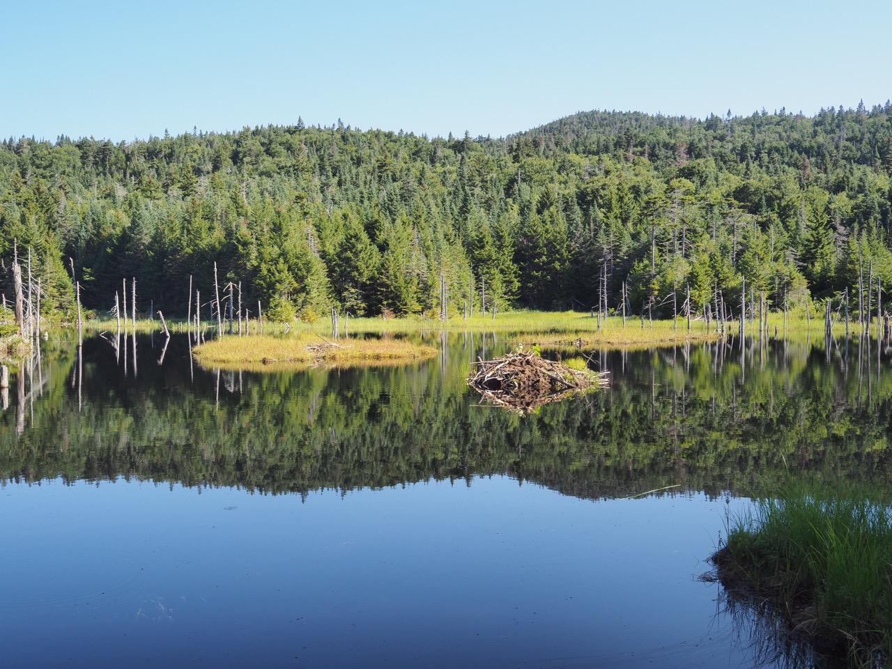
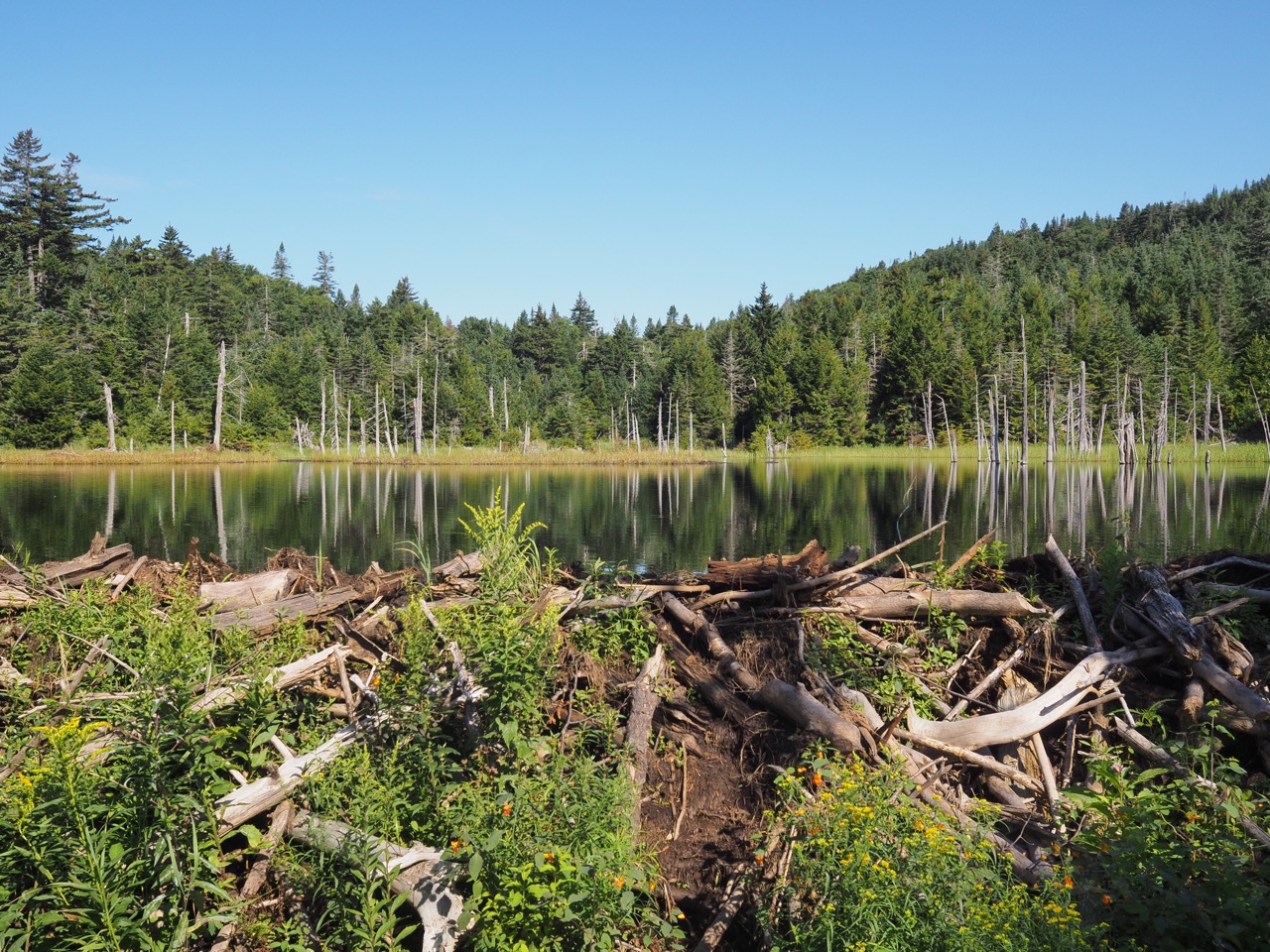
i passed a beaver pond and then lockwood pond (also a beaver pond) on the way to tillitson camp.
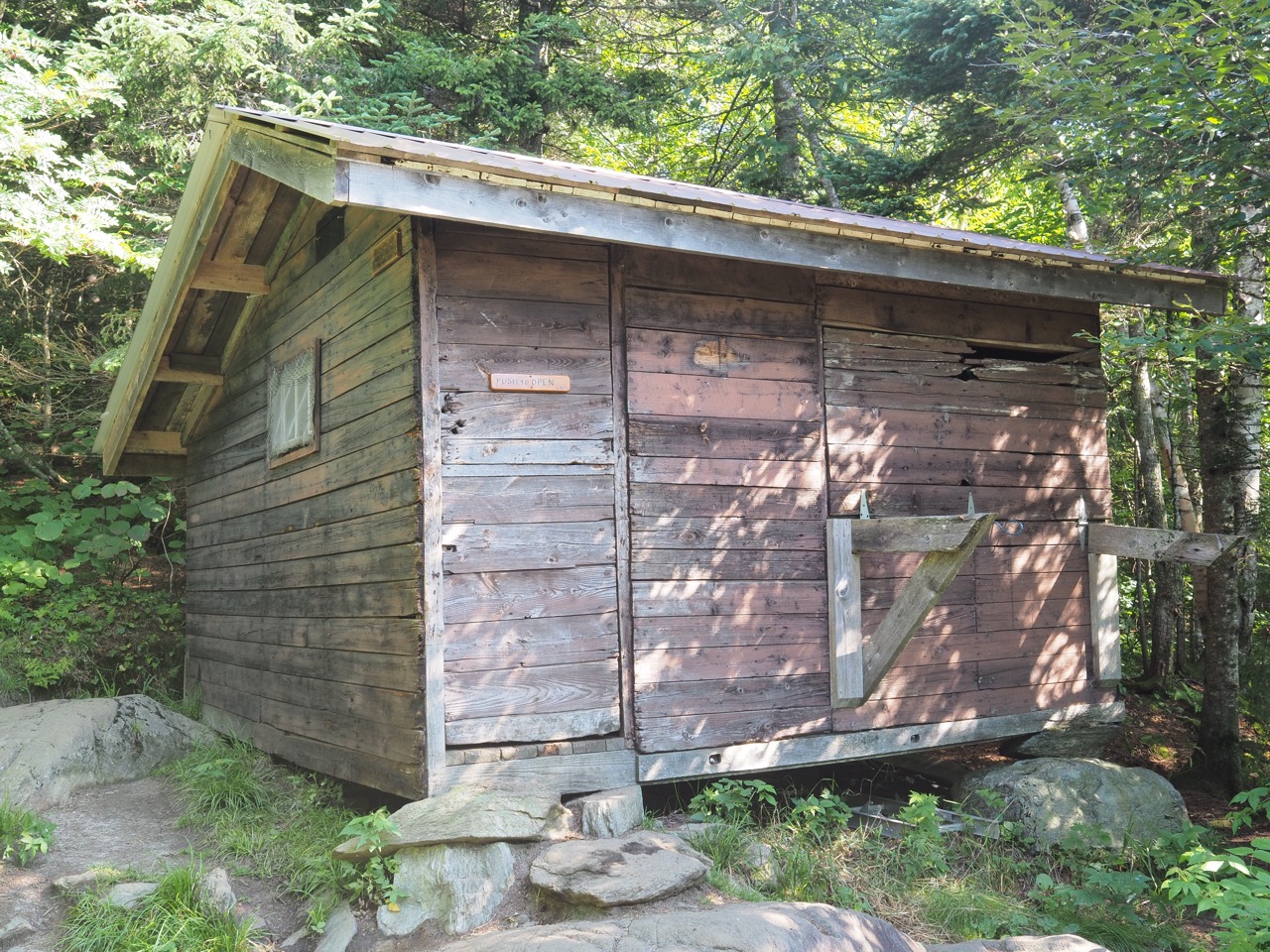
tillitson camp was pretty awful. the shelter essentially had no windows. it was dark inside and reminded me of horror movies.
haystack mountain was next. i opted not to hike the side trail to the summit. guthook reviews said it was a pretty difficult climb with downed trees, and then the view was overgrown.
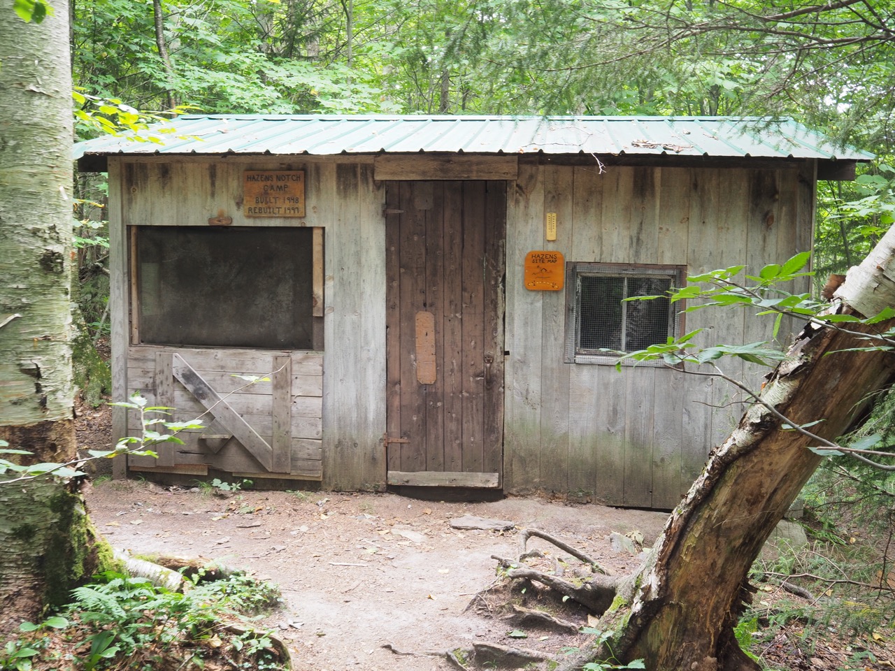
then a long knee fatiguing descent to hazen’s notch where i crossed the road and immediately began to climb again. a few more miles and i was at hazen’s notch camp, where i stopped for lunch and water. nails and swamp donkey were planning to stop here today, so i left them a note in the log.
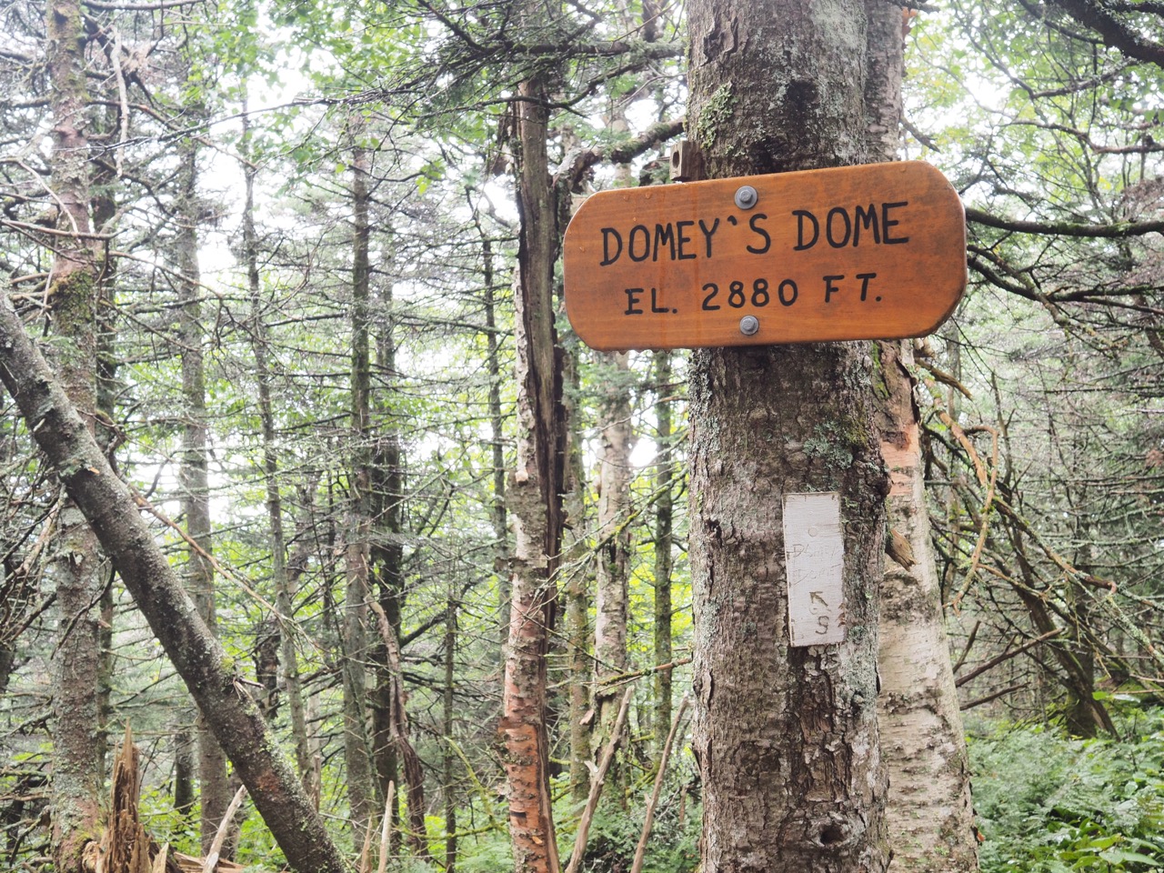
then i hiked the trio, buchanan mountain, domey’s dome, and gilpin mountain. this is where my day got all face slappy and cliff trippy. not fun.
i descended into jay pass, crossed the road, and shortly was at the turn for jay camp. i checked guthook, and the general feeling of the comments was that laura woodward shelter 3 miles on was nicer. the only problem, jay peak stood in the middle. 1.4 miles straight up, 1.6 miles straight down.
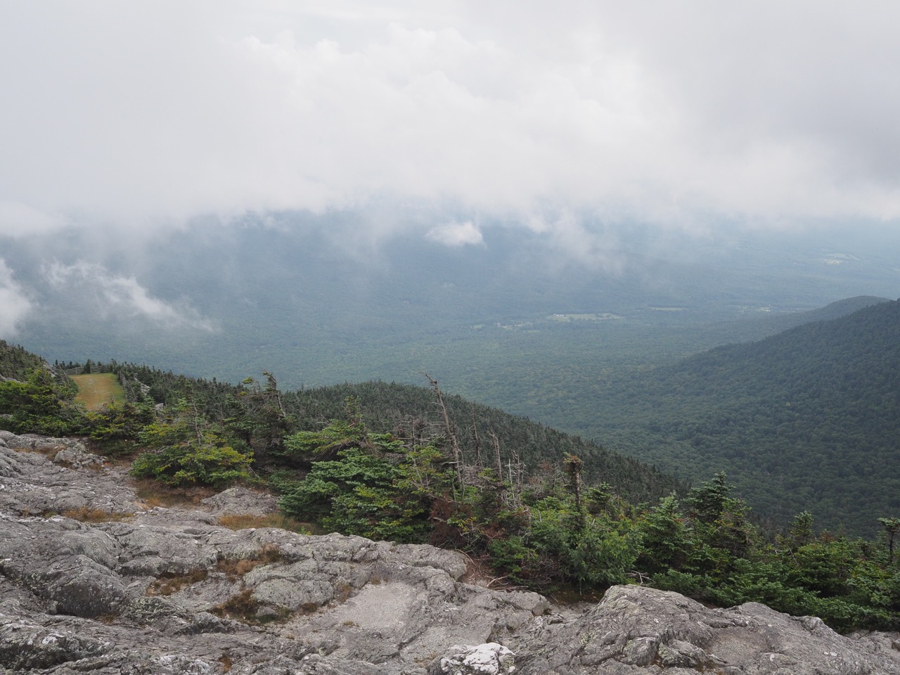
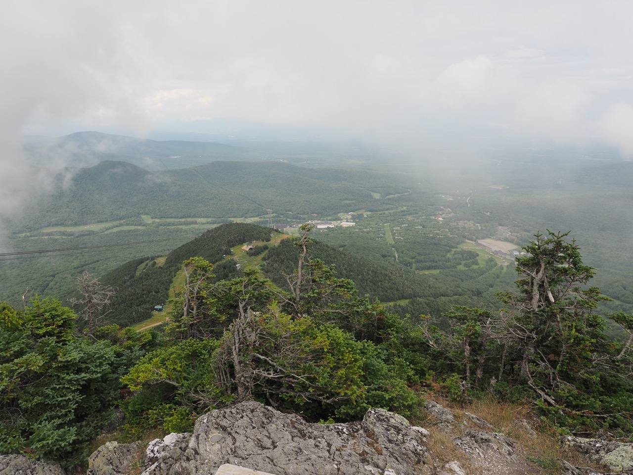
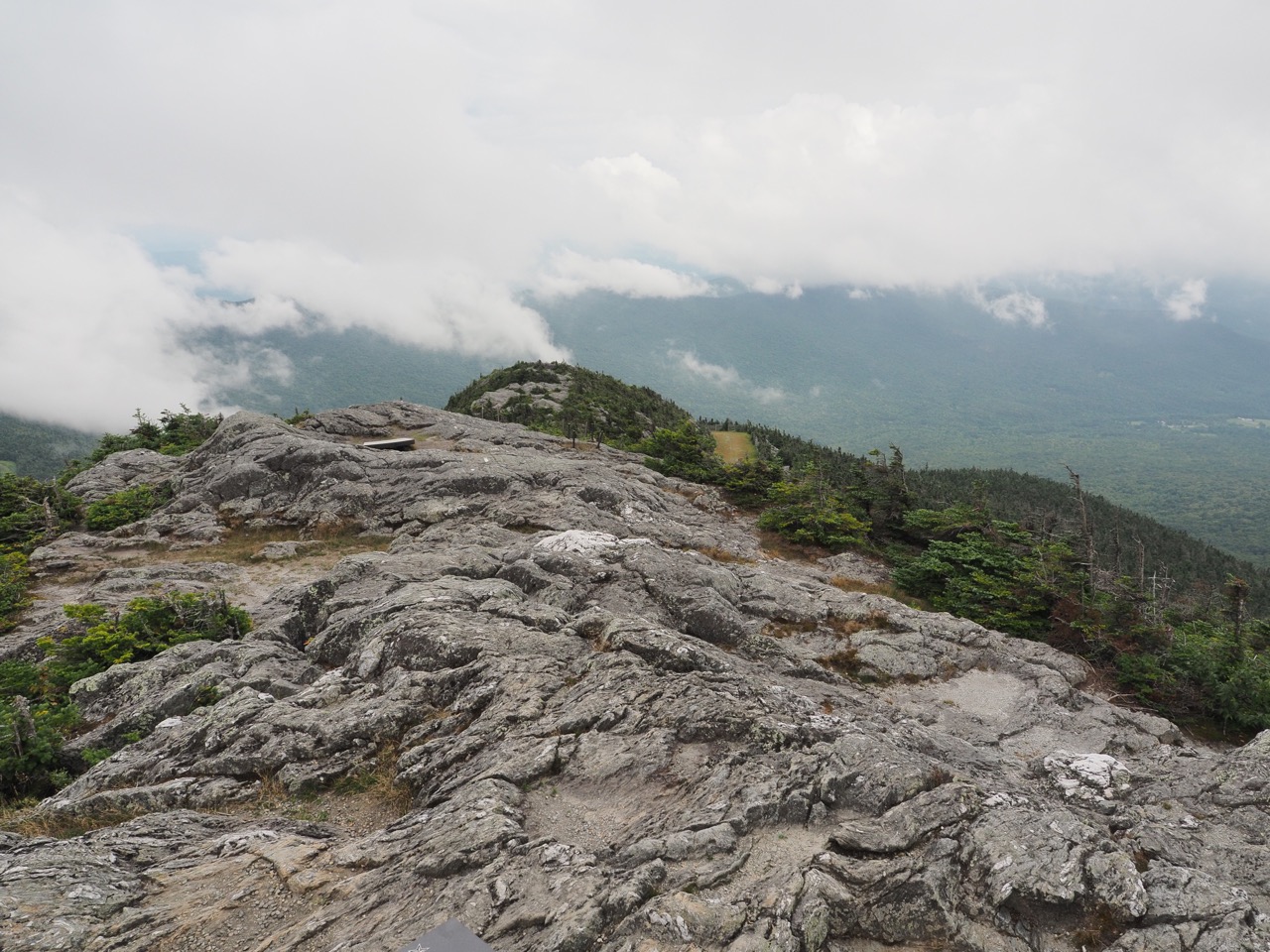
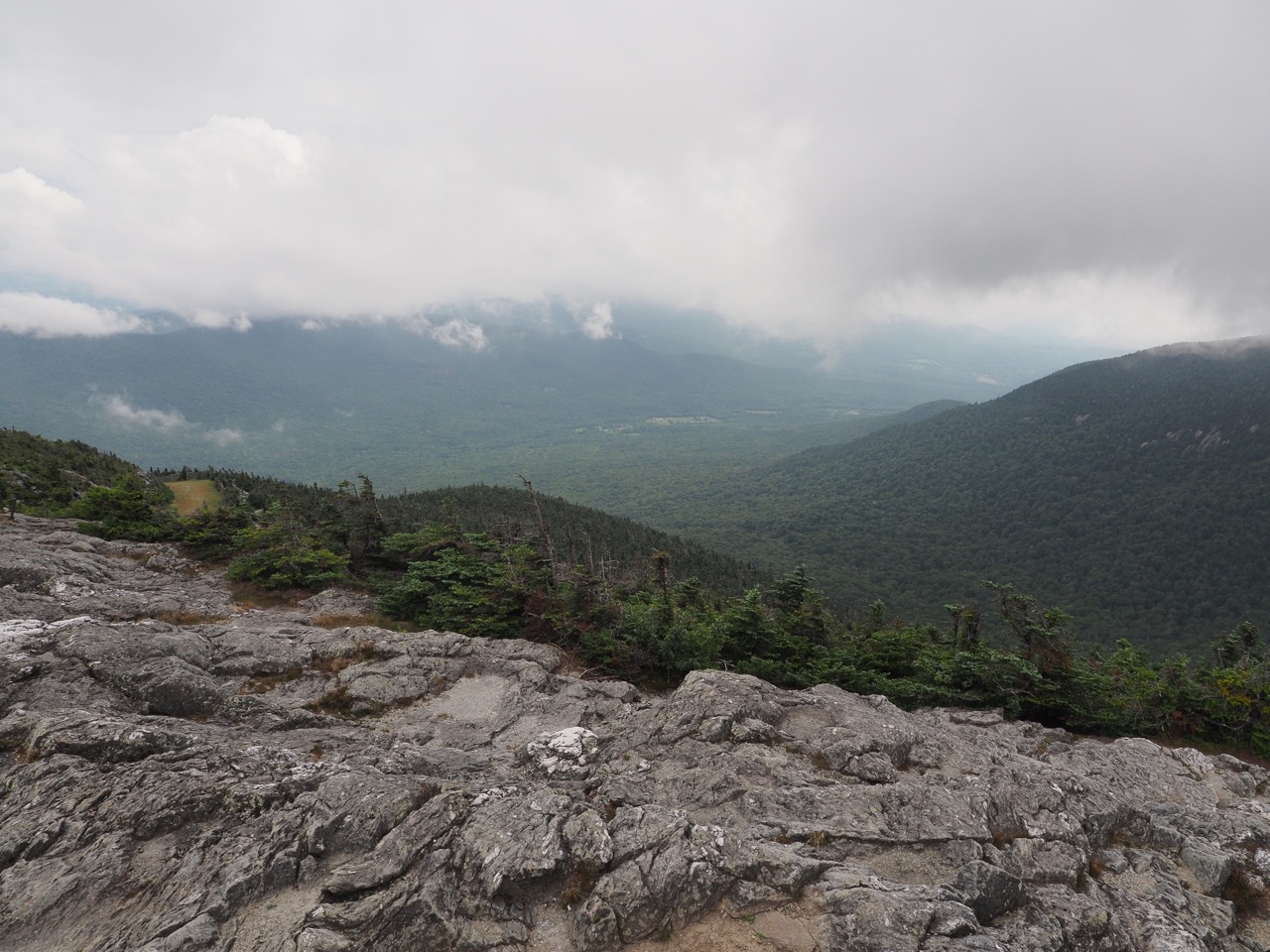
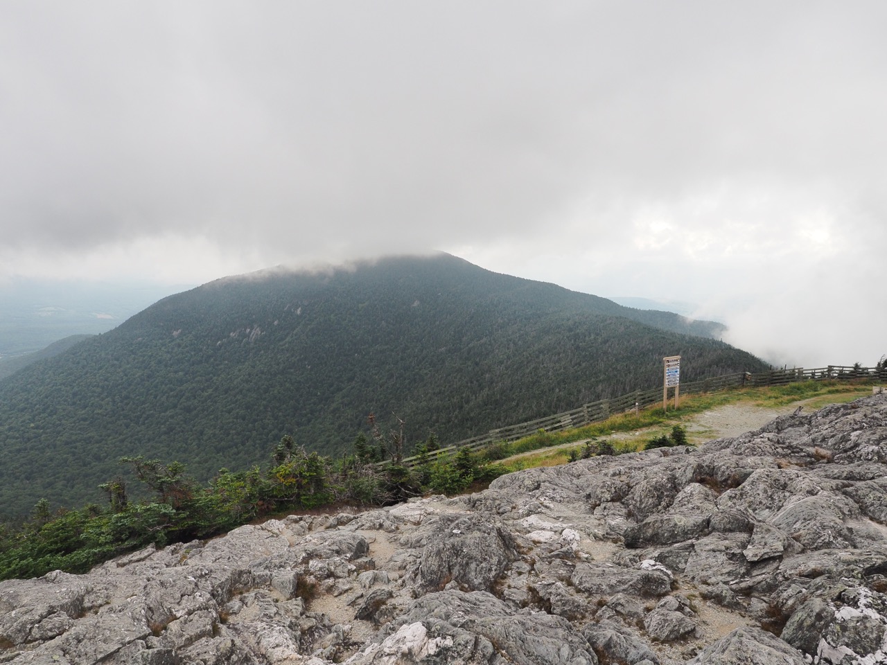
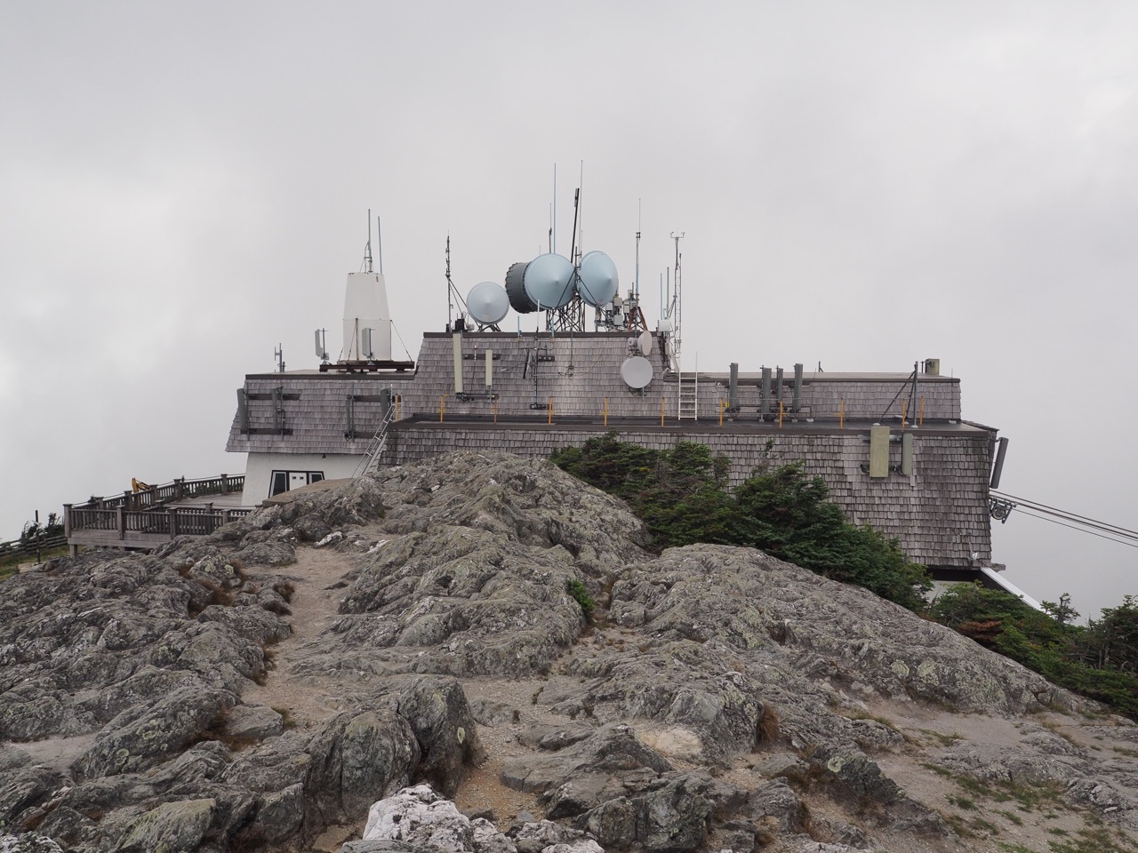
it was only 3, so i opted to go for it. jay peak is no slouch. the way up got more and more rugged until i was just walking on rock. the top was spectacular. clouds were swirling all over the place. it was windy and cold though, so i snapped some photos and headed down the other side.
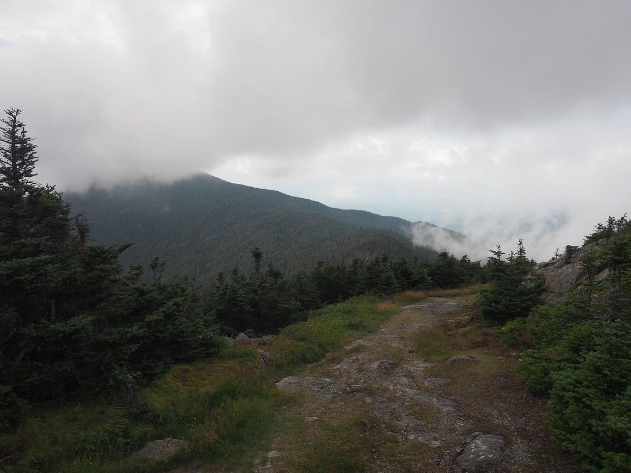
the descent wasn’t too bad, but that much down and the end of the day is pretty hard. i finally made it to laura woodward shelter. it was empty. it was around 1730hr, so i probably could expect to be alone tonight, so i’ve opted to sleep in the shelter. it’s kind of nice having a shelter to oneself. as if that wasn’t awesome enough, i also get full LTE signal, so i’m able to update the blog!
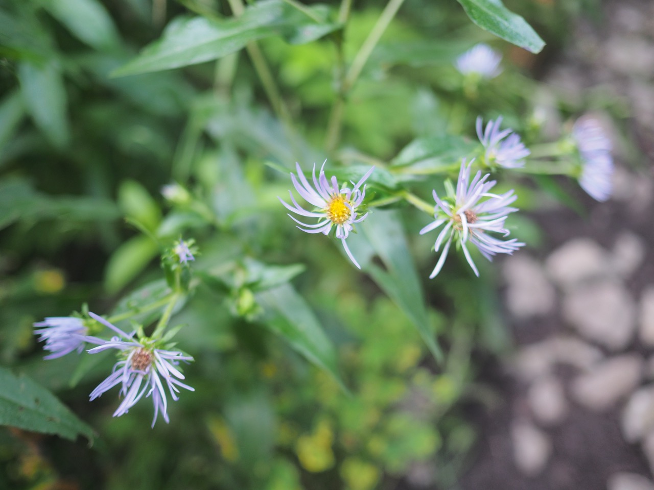
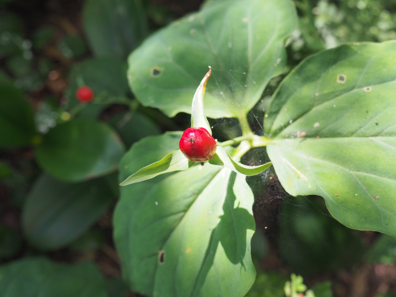
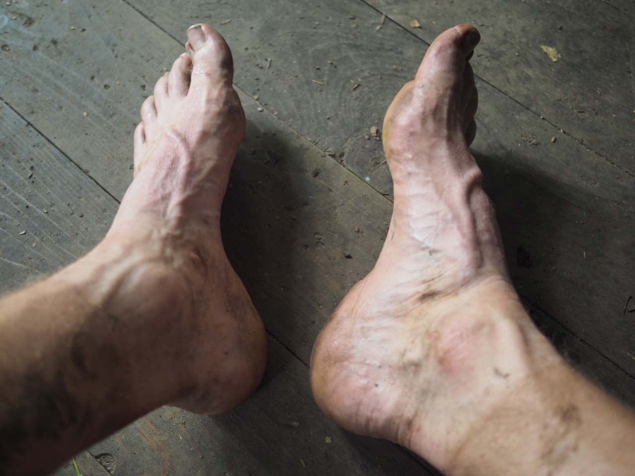
additional shots from today: