seth warner shelter to mass at approach
27 September 2020 — 3 min read
miles: 6.4
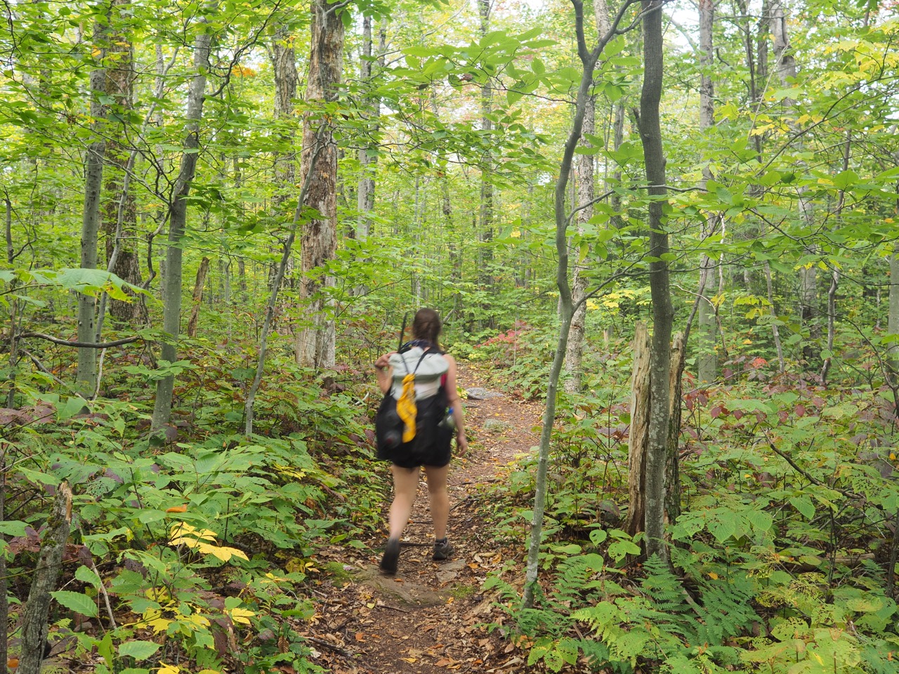
our last day on trail. we woke and were on trail in 30 mins. a bit cloudy, but otherwise another beautiful day.
the weather on this through hike has been truly incredible. while i did get utterly drowned in the first days due to the hurricane coming through, it essentially hasn’t rained any appreciable amount since then. it’s been pretty awful for the region, but for trail conditions it couldn’t be better.
we didn’t have far to go today, and in just a few miles we made it to the southern terminus.
it’s funny, both of us have done this section a number of times, but both of us remember a treacherous rocky section immediately adjacent to the terminus. in fact it’s 2 miles away, just south of the “rock garden” where the AT and pine cobble trail diverge.
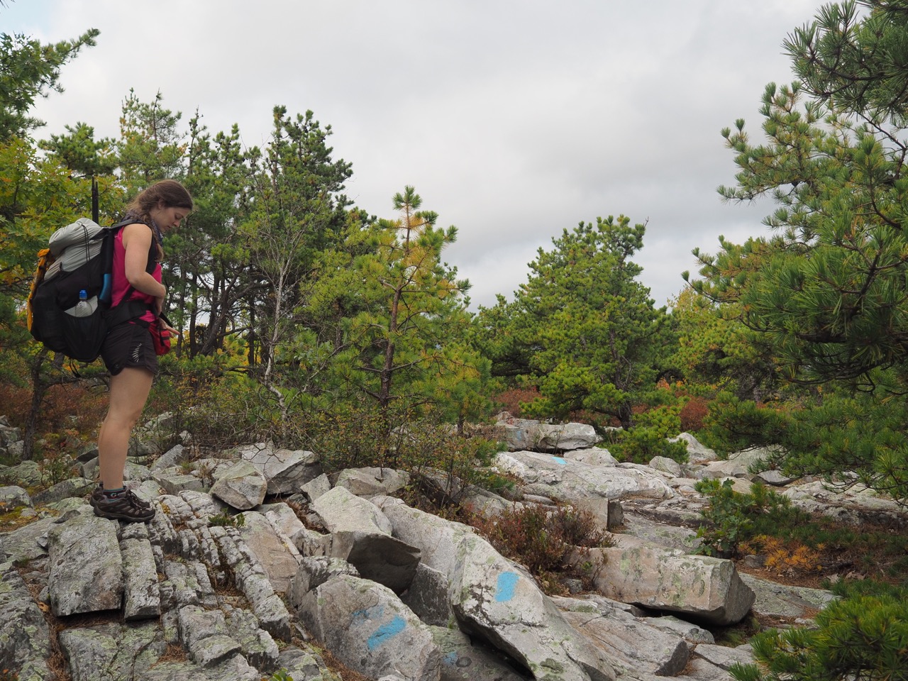
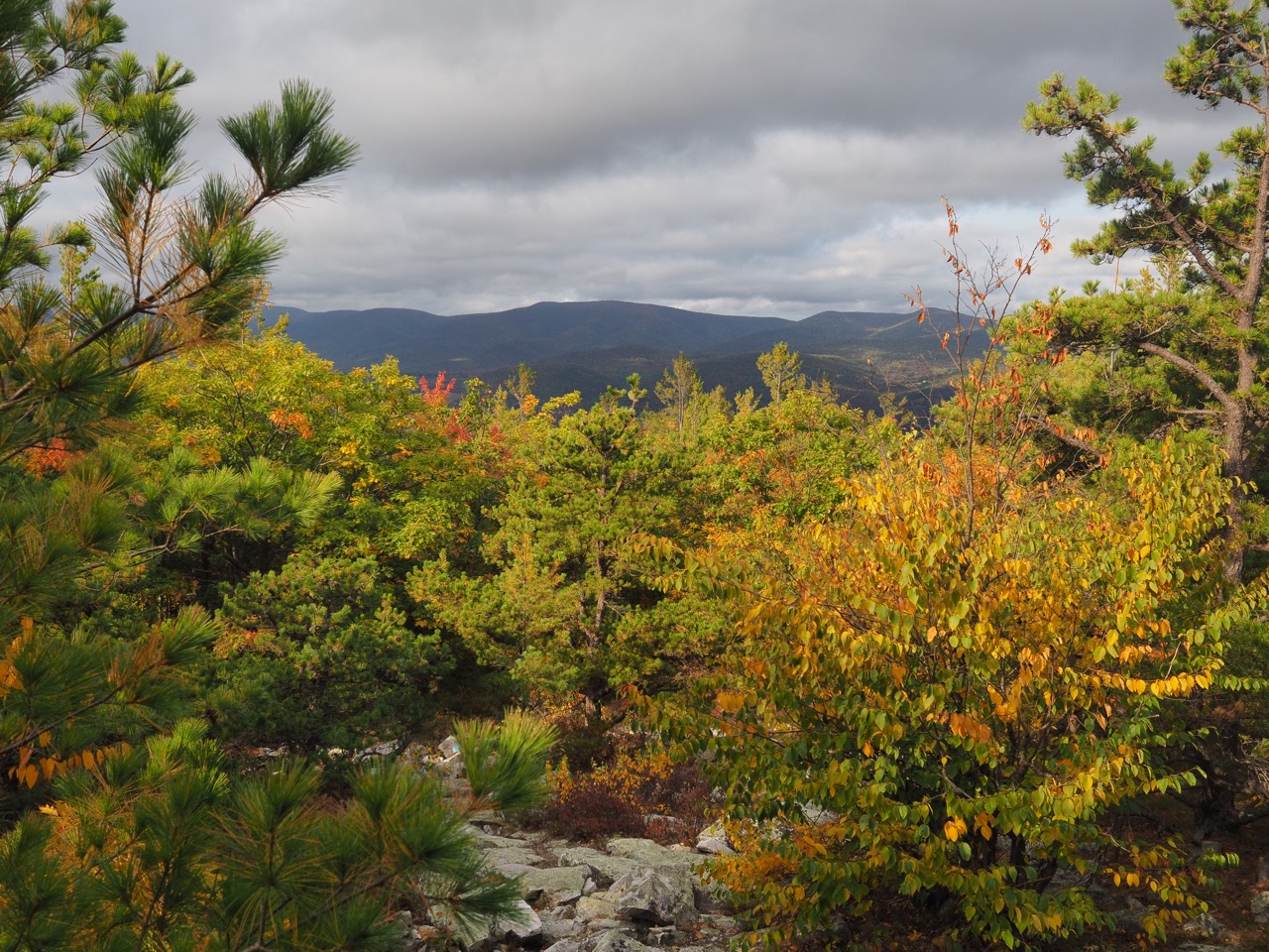
we took the pine cobble trail briefly to snap a shot of the view before returning to the AT.
we ran into marilyn just before we got to massachusetts ave. he was hobbling pretty badly, but going to make it. i neglected to update his story a few days ago. after leaving the PCT due to the fires, he headed to the LT to do a NOBO through hike. he was climbing killington and while letting a woman pass, her partner said something, and she wheeled around knocking marilyn over with her pack. unfortunately his leg was caught by a tree and it injured his knee. she never even stopped walking. apparently her partner apologized, but after a few more miles it was apparent that his knee was done, so he turned around and just started going SOBO. keep in mind, killington peak is northbound mile 98.1!
the three of us walked together to mass ave, across the bridge to rt 2 where we parted ways. we were all headed to stop and shop, but we had to go east to get the car, while marilyn turned west to walk there.
minutes later we were at the car and headed to stop and shop where we bought ice cream, sour patch kids, and potato chips. all a through hiker needs really.
we drove up to vt 11 / 30 and picked up the truck and headed home, but not before stopping at a road side stand to pick up some hickory syrup for the outlaws as part of their thank you for taking care of the pups. the syrup seemed sweeter than maple syrup. some time i’ll have to try some when i’m not calorie deprived and able to taste subtleties.
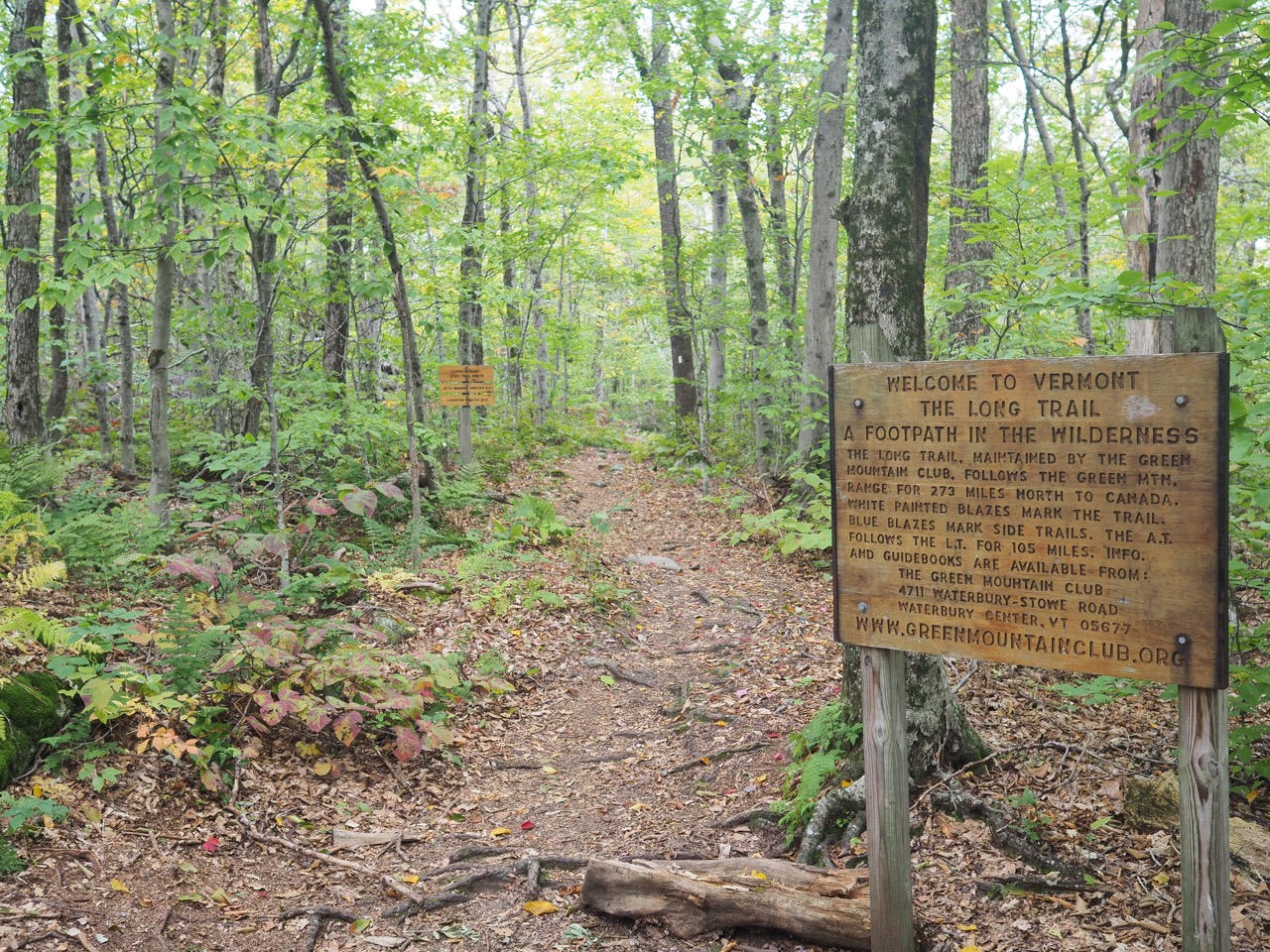
so that’s it. long trail yo-yo done. the official sign says 273 miles, not including the 3.6 additional miles of the AT approaching the LT.
total miles (not including blue blazes and chasing down hikers): 553.2
rags did the last 128.9 miles (again, not including blue blazes or miles around lakes to crappy camp sites and back), so just 7.6 miles under half the LT.
again i have to profusely thank layla and bria, my trail angels, and nails and swamp donkey, my tramily as well as all the myriad hikers through and section that supported me (and i hope i them).
i’ll do some gear posts in the future, as i was helped tremendously by other through hikers posts and videos on what they carried and what changes they made while on trail.
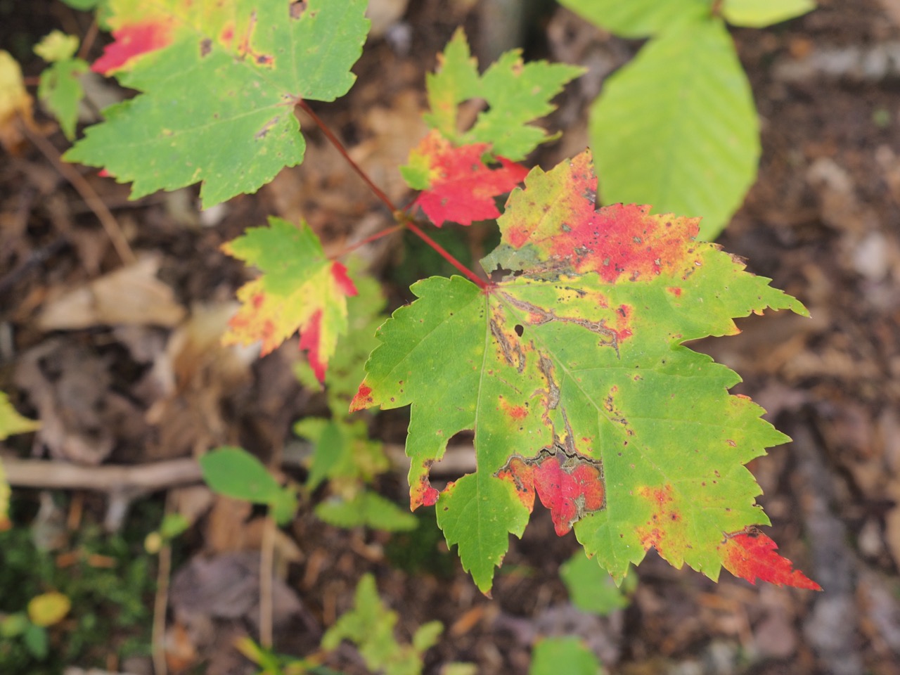
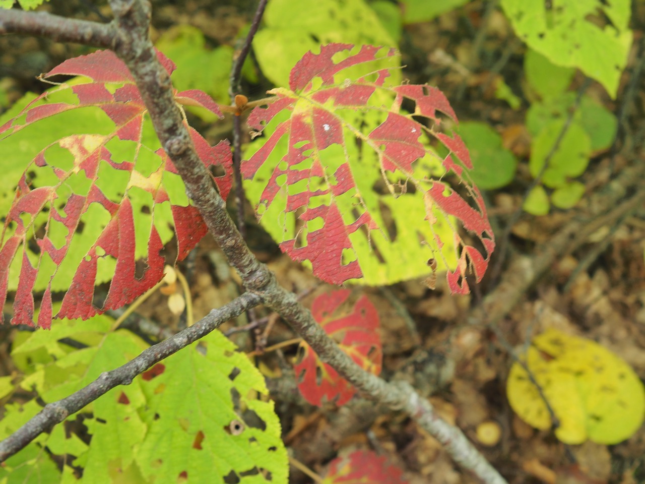
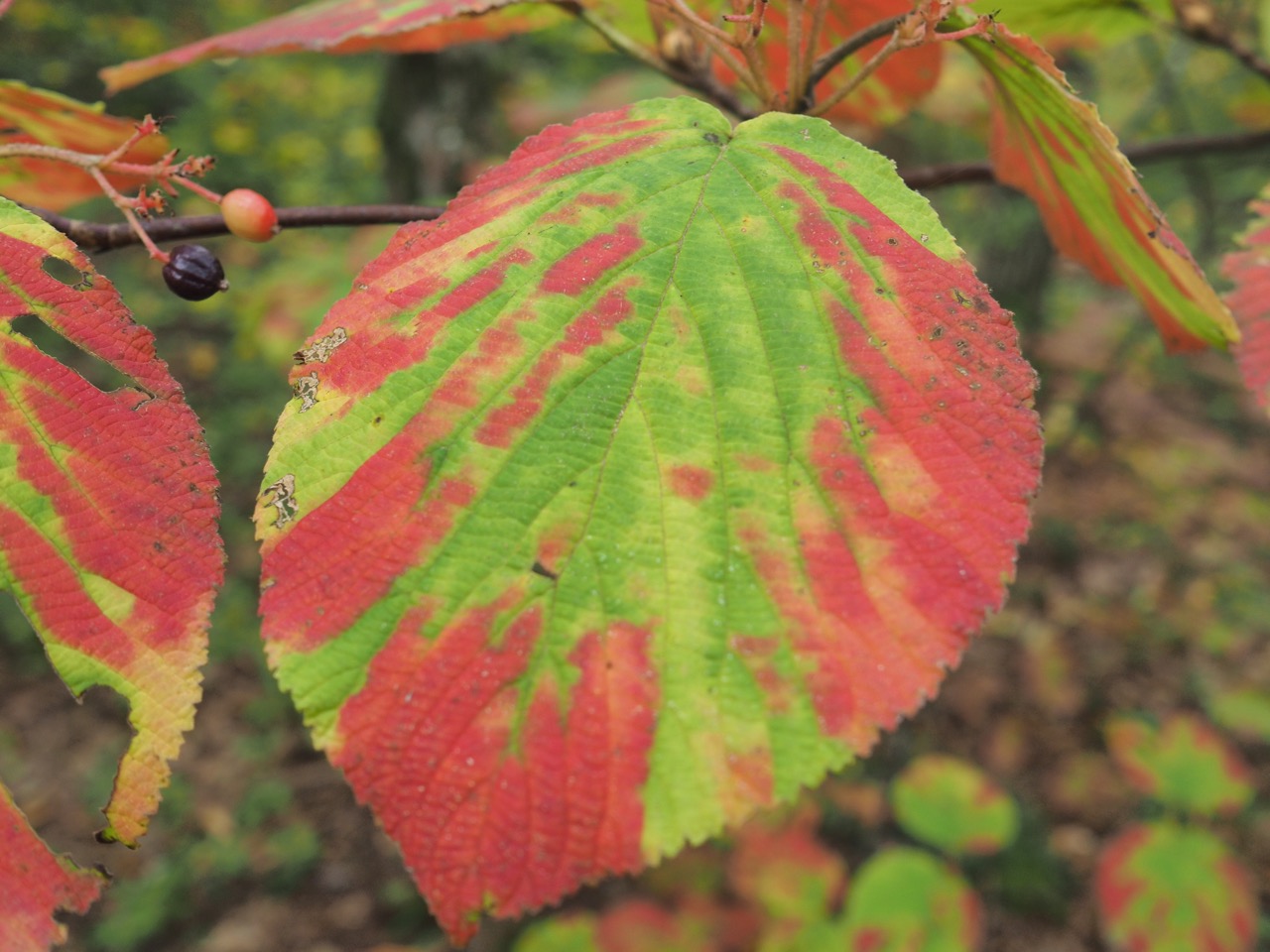
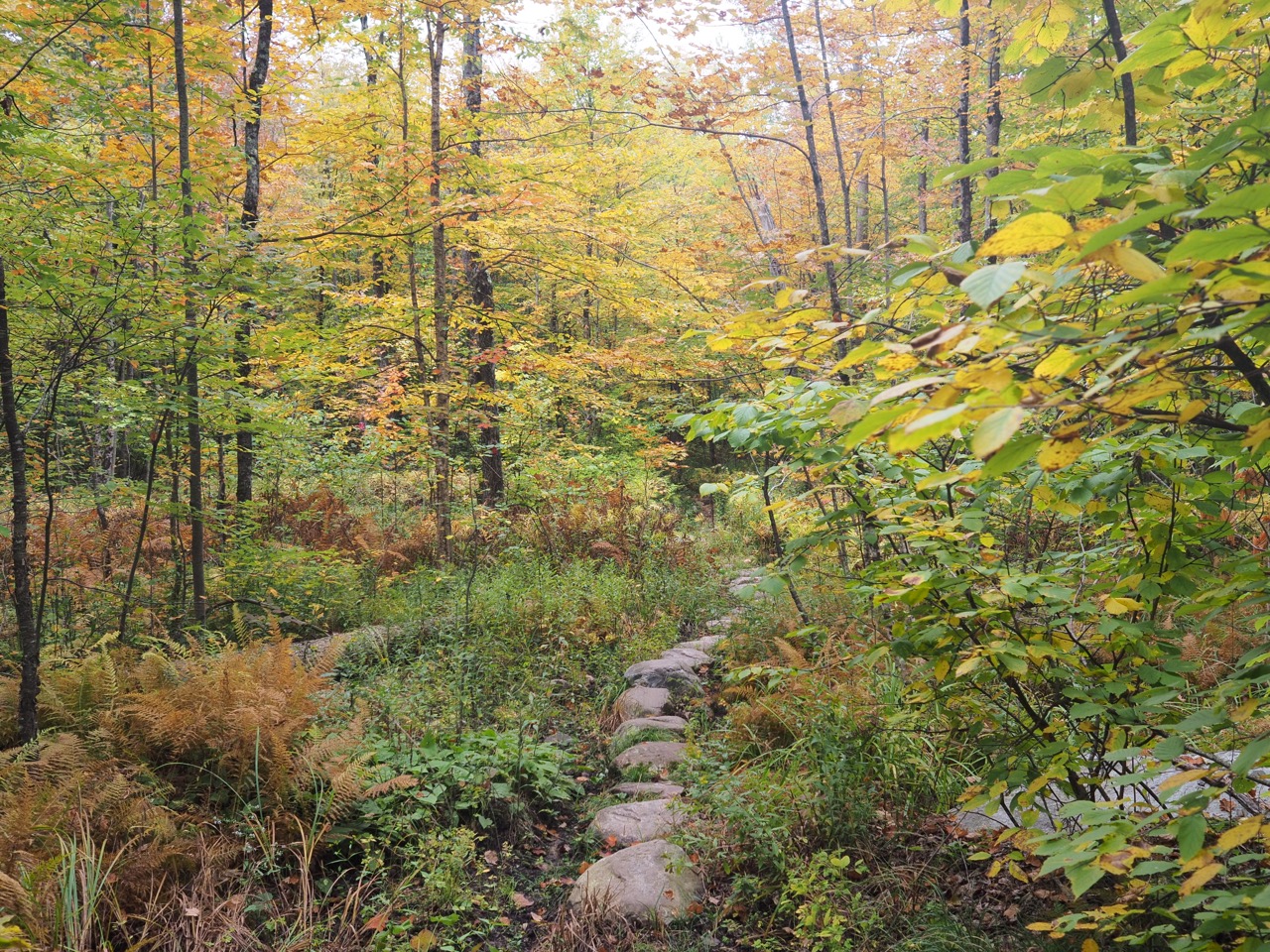
some additional photos from today: