rolston rest shelter to sucker brook shelter
09 August 2020 — 4 min read
miles: 21.2
the bird alarm didn’t really go off this morning, but i roused myself, packed up, breakfasted, and was walking by 0630hr.
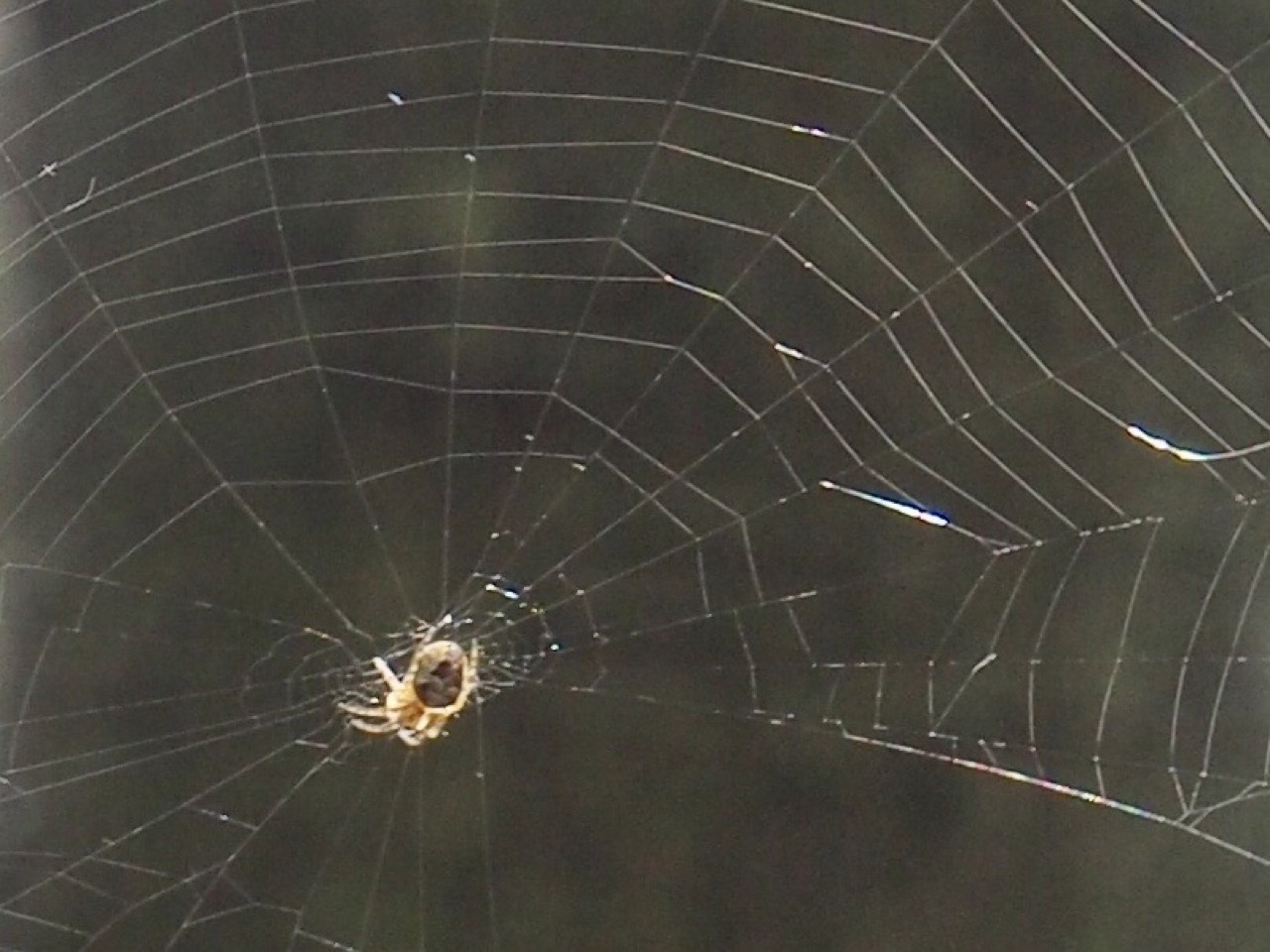
one of the problems with being the first to leave camp in the morning is the cobwebs. spiders set them up across the trail and if you’re the first one out of camp you get them all.
i’ve been pushing hard in the mornings and then walking more leisurely in the afternoon when it’s hot, so lately my mantra has been 10 miles by 1000hr.
as i was hiking hard suddenly the sky darkened. i stowed my camera and whipped out my umbrella and deployed it. then, i do not exaggerate, it rained hard for approximately 10 seconds. the sky immediately lightened and shortly blue sky was to be seen above the canopy. i think mother nature is punking me.
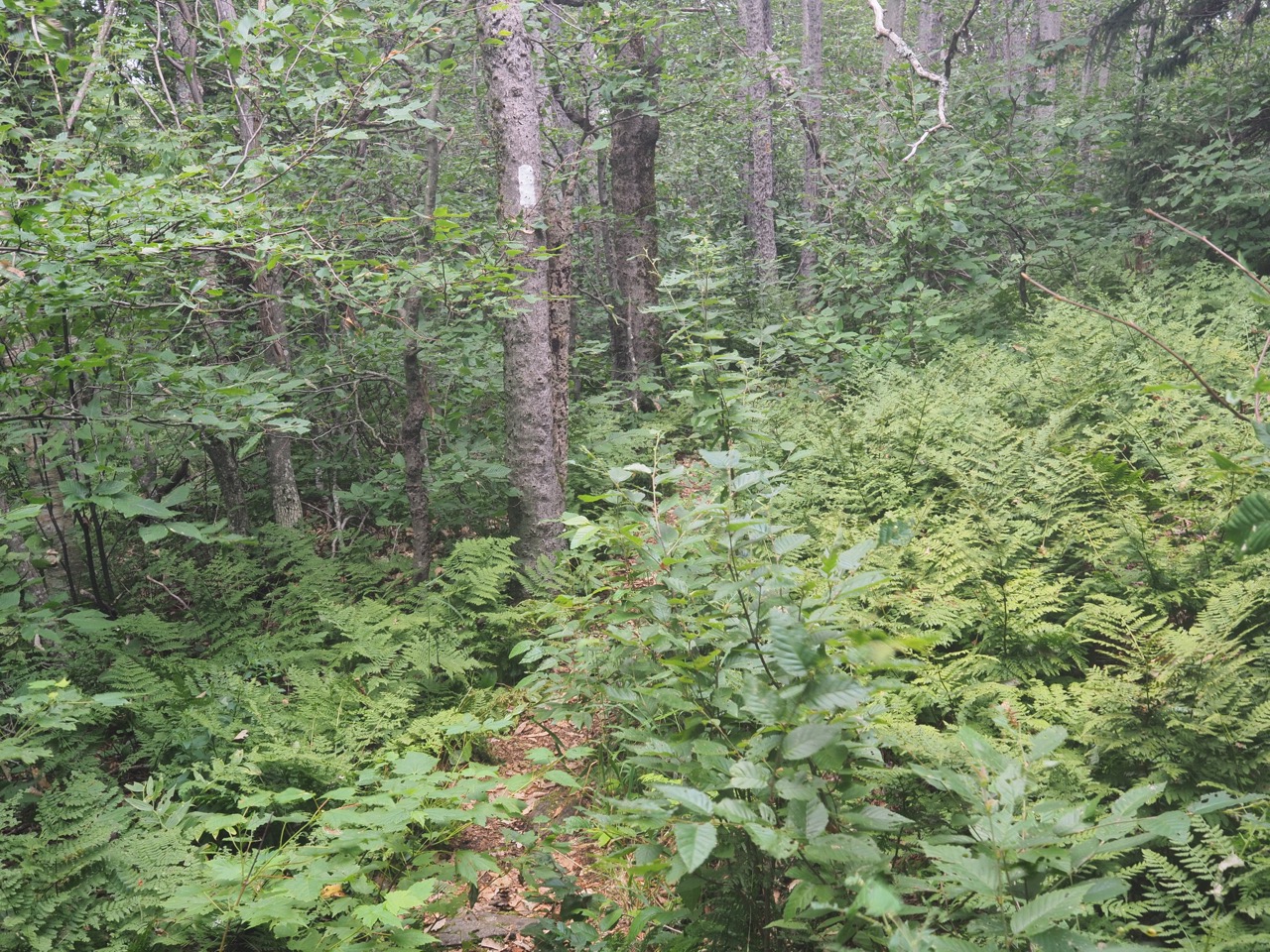
since i left the AT yesterday the trail has changed considerably. in certain areas it’s a lot less well maintained. i can go a mile without seeing a blaze, and beech saplings encroach heavily in some areas.
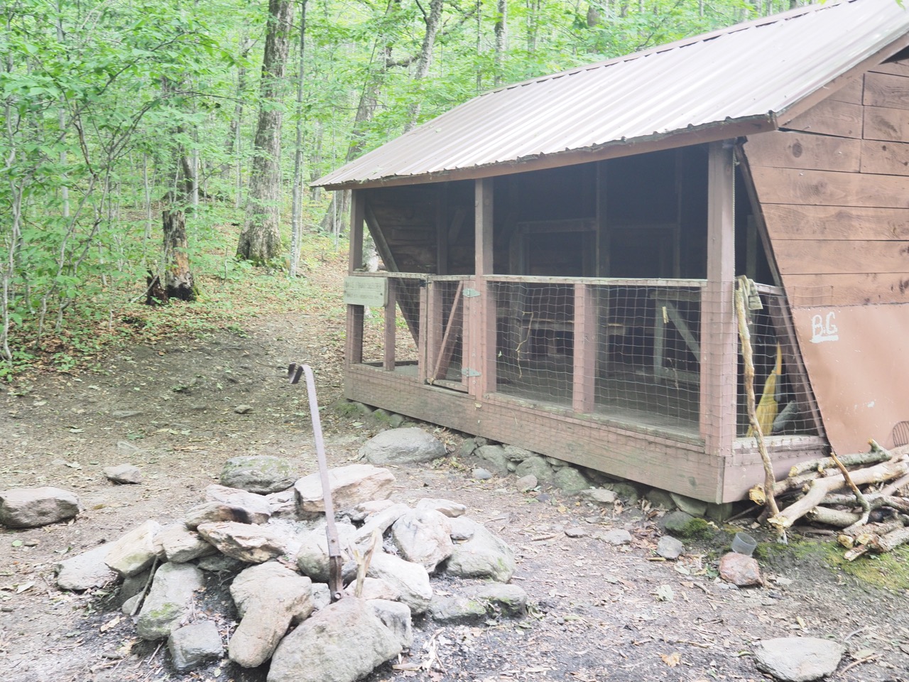
at ten i was at david logan shelter, so i walked the extra .2 mile and took a pack-off break for 10 minutes. the shelter is strange with a gate. i can only assume it’s due to porcupines who gnaw on the wood.
i set off again and hiked now at a comfortable pace until i got to sunrise shelter where i stopped for lunch. some section hikers, an older man and his 30 something son were there as well. it turned out that the son had through hiked the LT last year. he told me that brandon gap, 1 mile ahead was the dividing line between the easy terrain and the hard terrain.
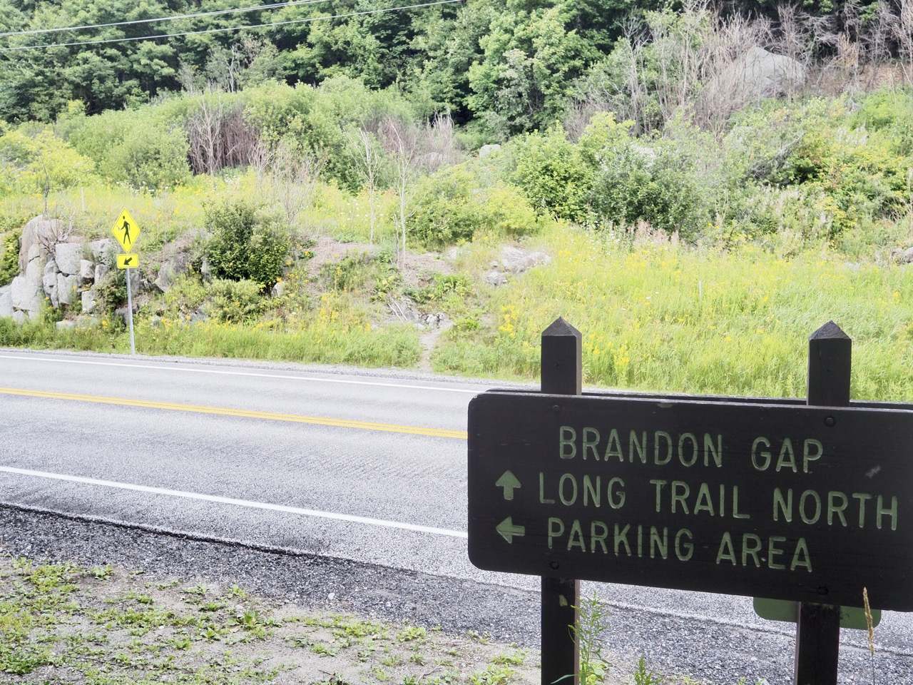
i finished up lunch and headed off down a very flat gradual decline into brandon gap. i crossed the road and began hiking up mount horrid. it was steep, but i didn’t think it was bad enough to name the whole mountain horrid. i’ll have to look up the history of that name sometime.
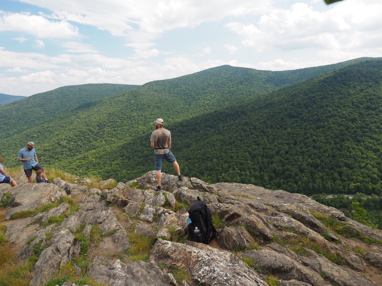
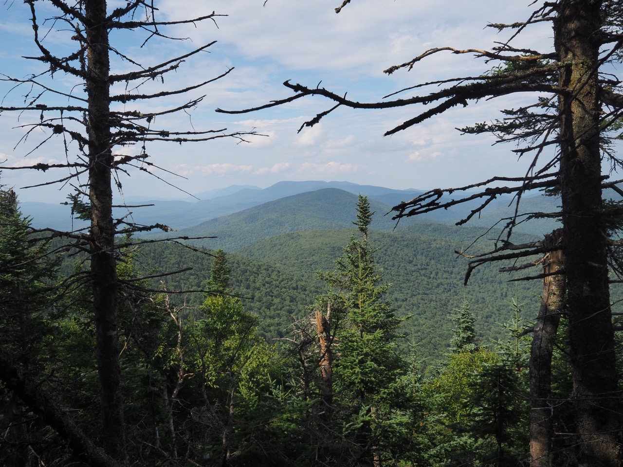
i took a side trail to “the great cliff” and it did not disappoint. i snapped some photos, disappeared into the woods and stopped to upload yesterday’s blog post. i’m not sure what happened to the exposure on some of them. it’s off.
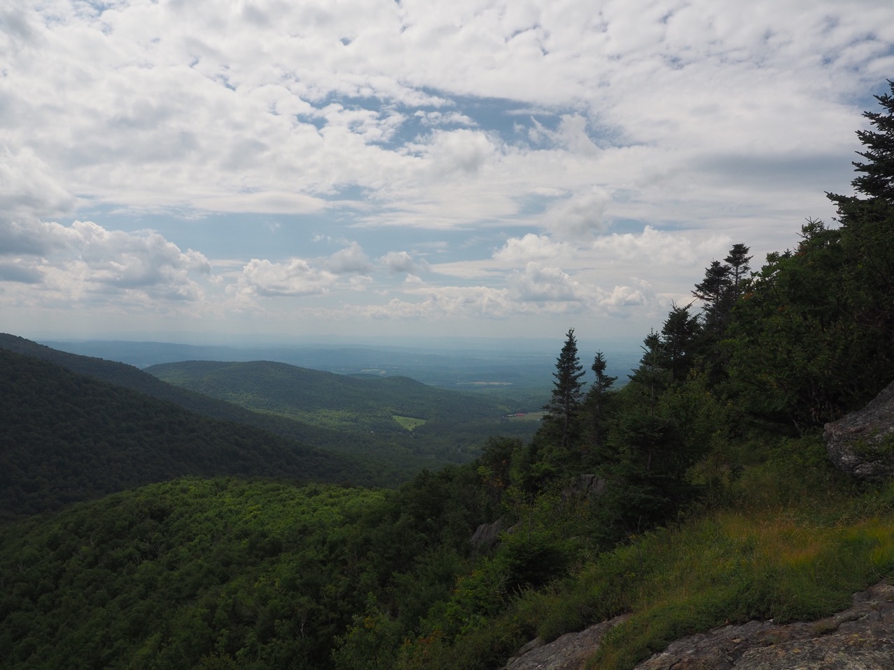
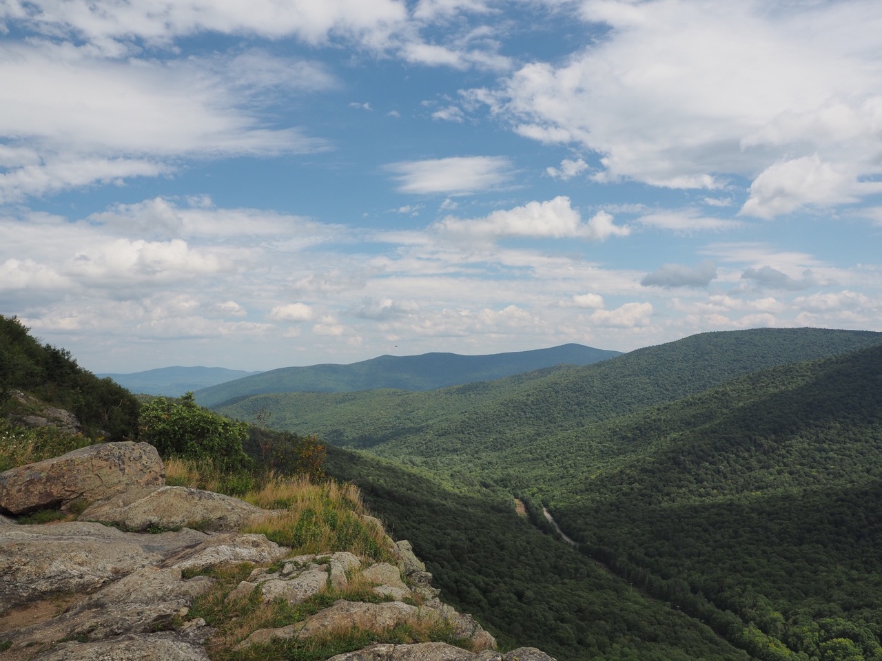
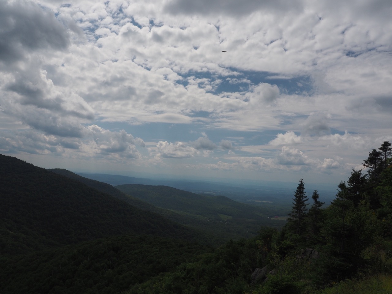
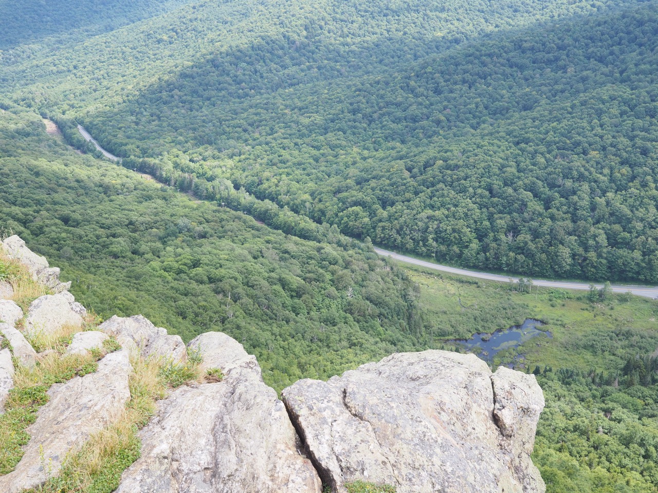
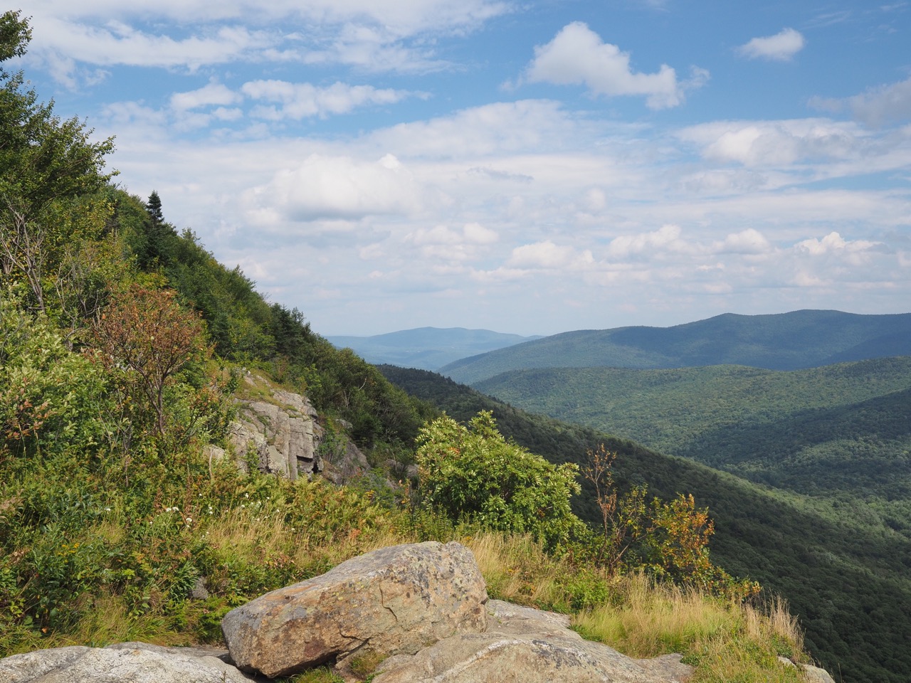
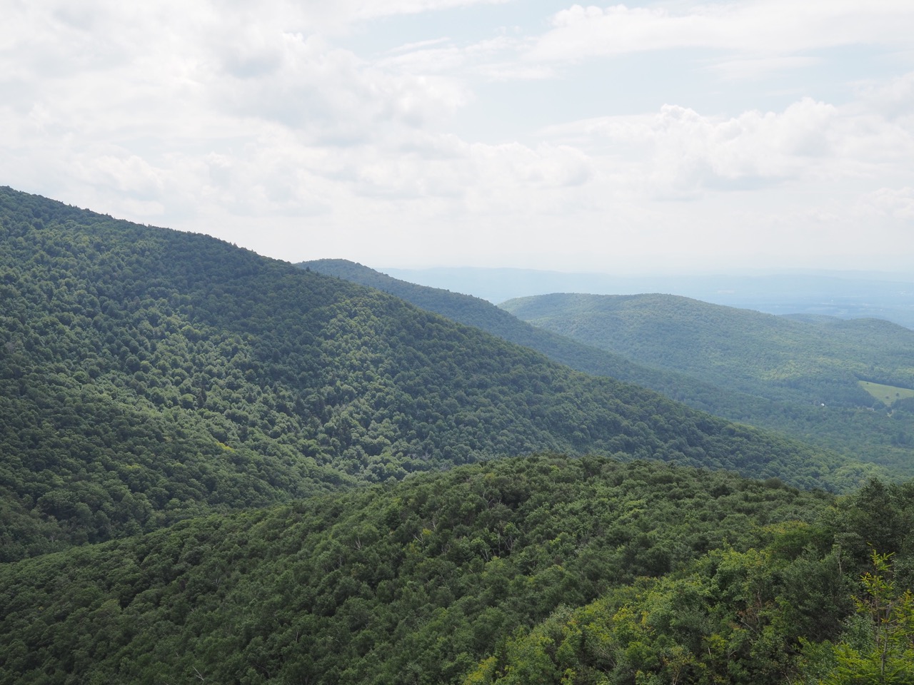
ugh. what a nuisance. i got all the images uploaded and then my phone just stopped communicating entirely. all apps. so then i’m sitting in the woods troubleshooting my fucking phone. so not happy. finally i reset all network settings and restored my connection, but none of the images were there. :skull: finally got it done though.
set off hiking again and my right achilles and left knee started to hurt. there wasn’t anything to do, so i kept hiking. on the uphills it abated, and the downhills it came back with a vengeance. the terrain was definitely getting more challenging as my lunch friend had said it would. near vertical steps and slopes and the terrain was constantly changing. i’d hike straight up for ten minutes, then straight down again. it was slow going regardless of my aches and pains.
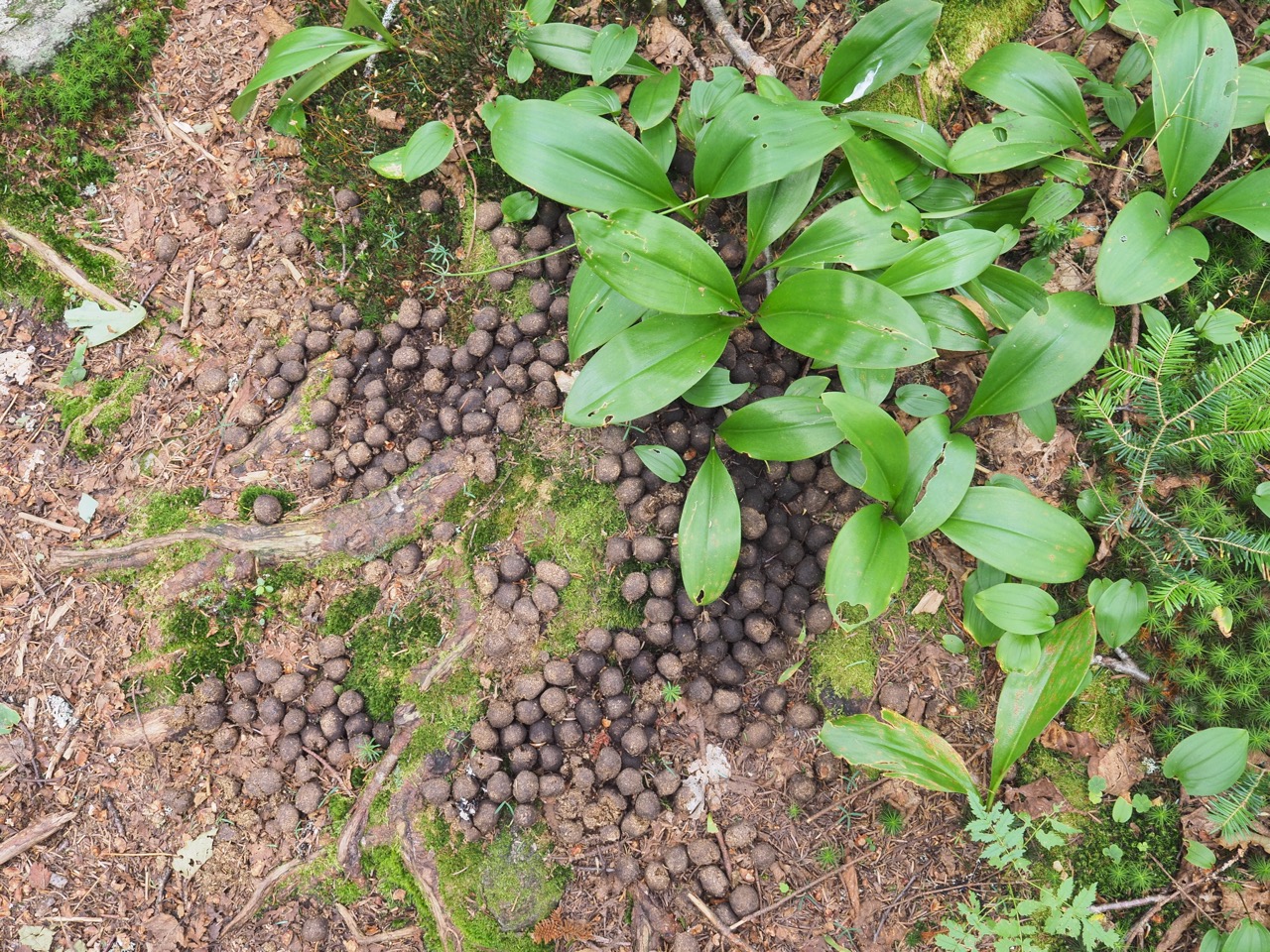
i did notice every few minutes an abundance of moop.
the terrain finally flattened out after about 4 miles. with .8 mile to go, i carried on. that’s when i realized i hadn’t been doing the esther gokhale “walk like a horse going downhill” hip sway. i started doing that and a half mile later my knee quit hurting completely. it felt like i had taken drugs or something. lots of pain to zero pain in almost no time flat. my achilles pain also subsided considerably, but i’m going to give it some extra time with the massage ball tonight.
arrived at sucker brook shelter and found some grandparents and one of their grandchildren. the woman is through hiking the LT. her husband and children have all already done it. she’s section hiked a lot of it, but never through hiked. he asked me lots of questions about planning for the AT. his plan is to through hike it at his speed, perhaps with is wife in a camper van running support so he doesn’t have to thumb rides into town. then it sounds like another year, they might hike it together at a slower speed so she can join in.
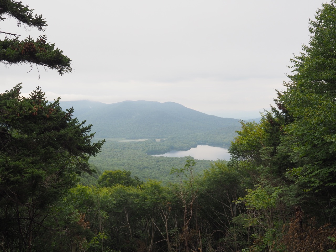
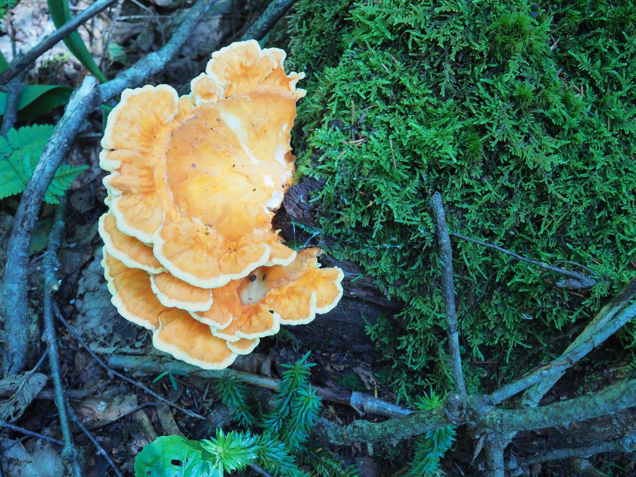
some additional shots from today:
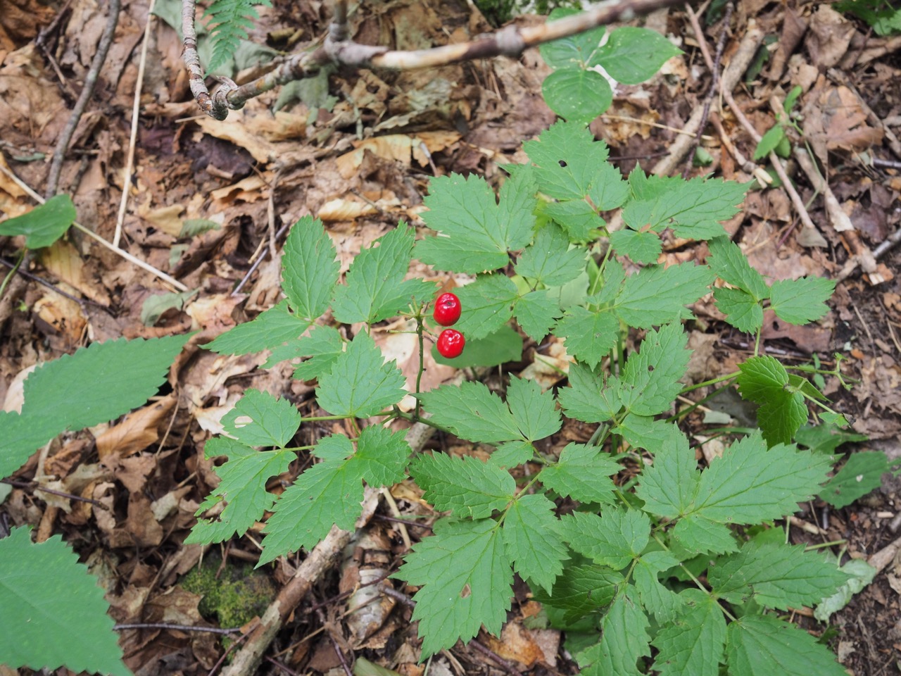
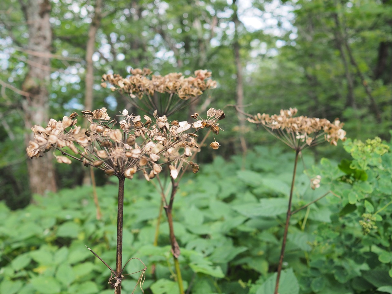
is red dolls eyes a thing? i’ve only ever seen white.