battell shelter to cowle's cove shelter
11 August 2020 — 4 min read
miles: 14.5
awoke at dawn, massage balled my legs, and then decided to get up a little late. i planned to do only 14 miles today to give my feet a bit of a break. i’ve developed a sore in the middle of both feet just behind the ball. it seems to be where my socks are also caked in mud, so i think it’s just grinding in there all day long making a mess. i washed my socks last night, and hung them up, but the air was so saturated with moisture nothing dried even a tiny bit. my sweat shirt that i also hung to dry i was able to wring out. gross. i should have washed that too.
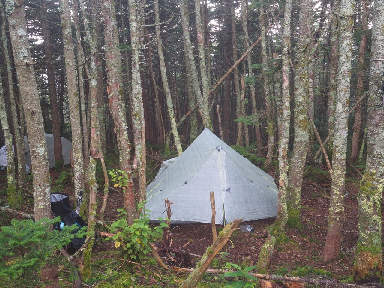
packed up, but took a pic of the tent just before i broke it down.
had breakfast at the shelter to talk to the folks there. the young woman i hadn’t really chatted with last night is “short sticks” she’s an AT and PCT though hiker. she’s quite short and got her name when someone asked her if her hiking poles were for kids. (they aren’t)
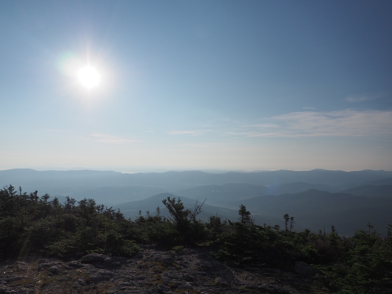
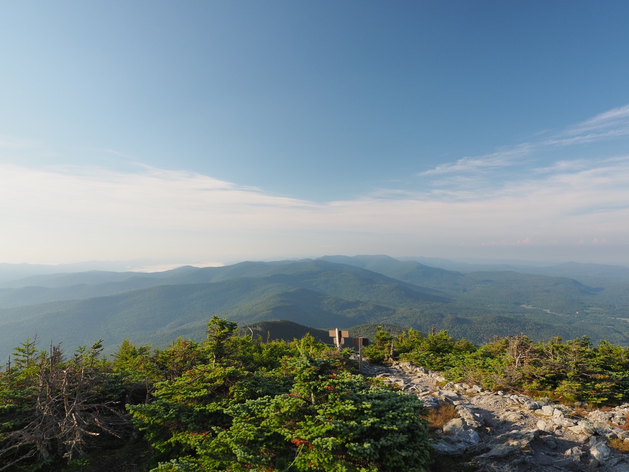
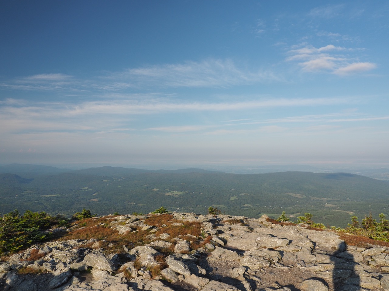
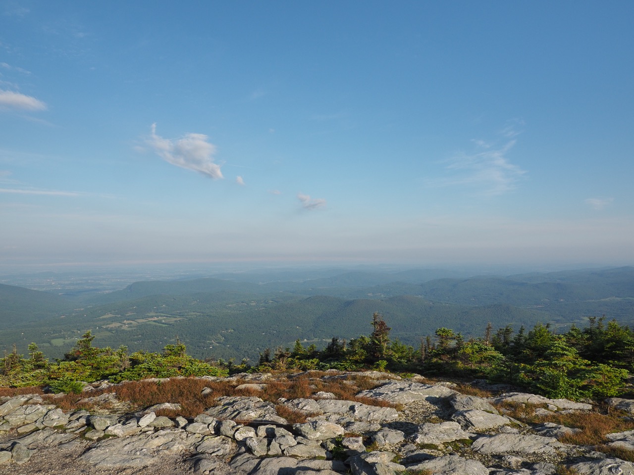
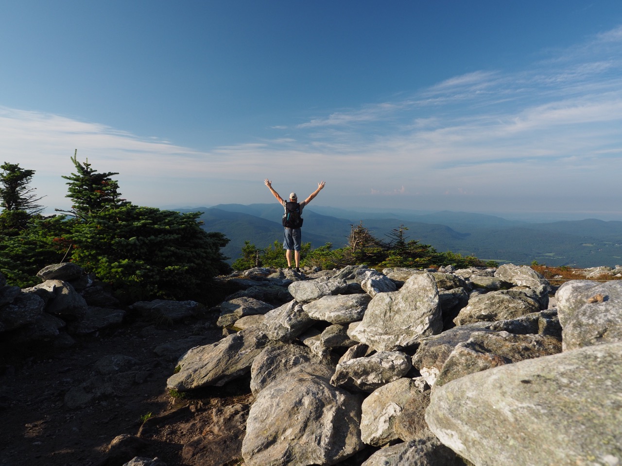
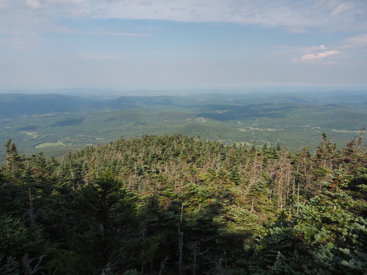
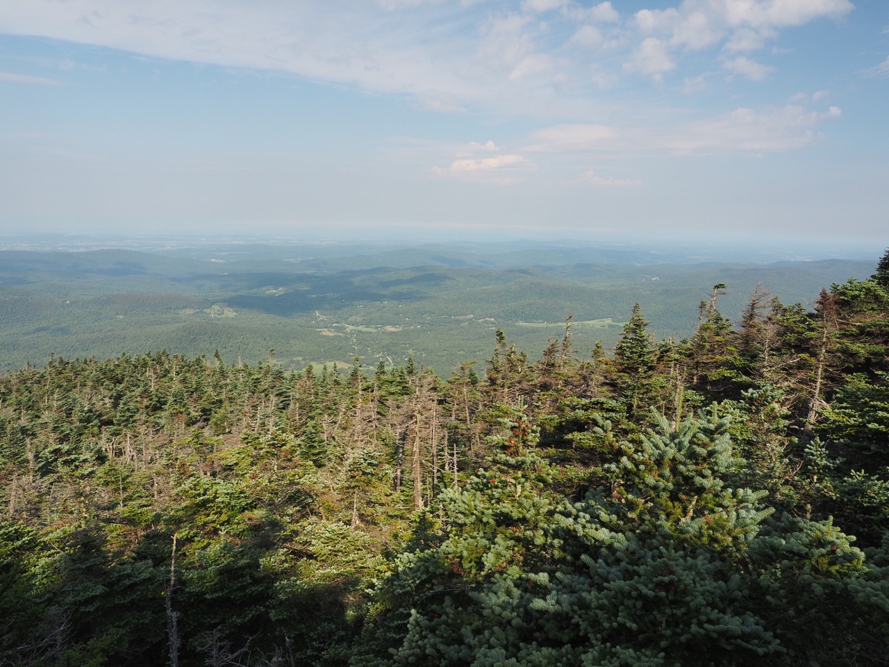
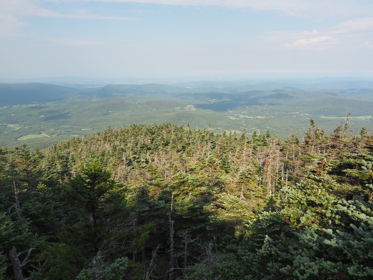
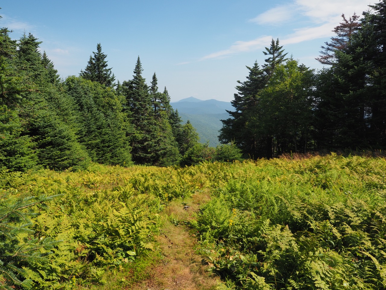
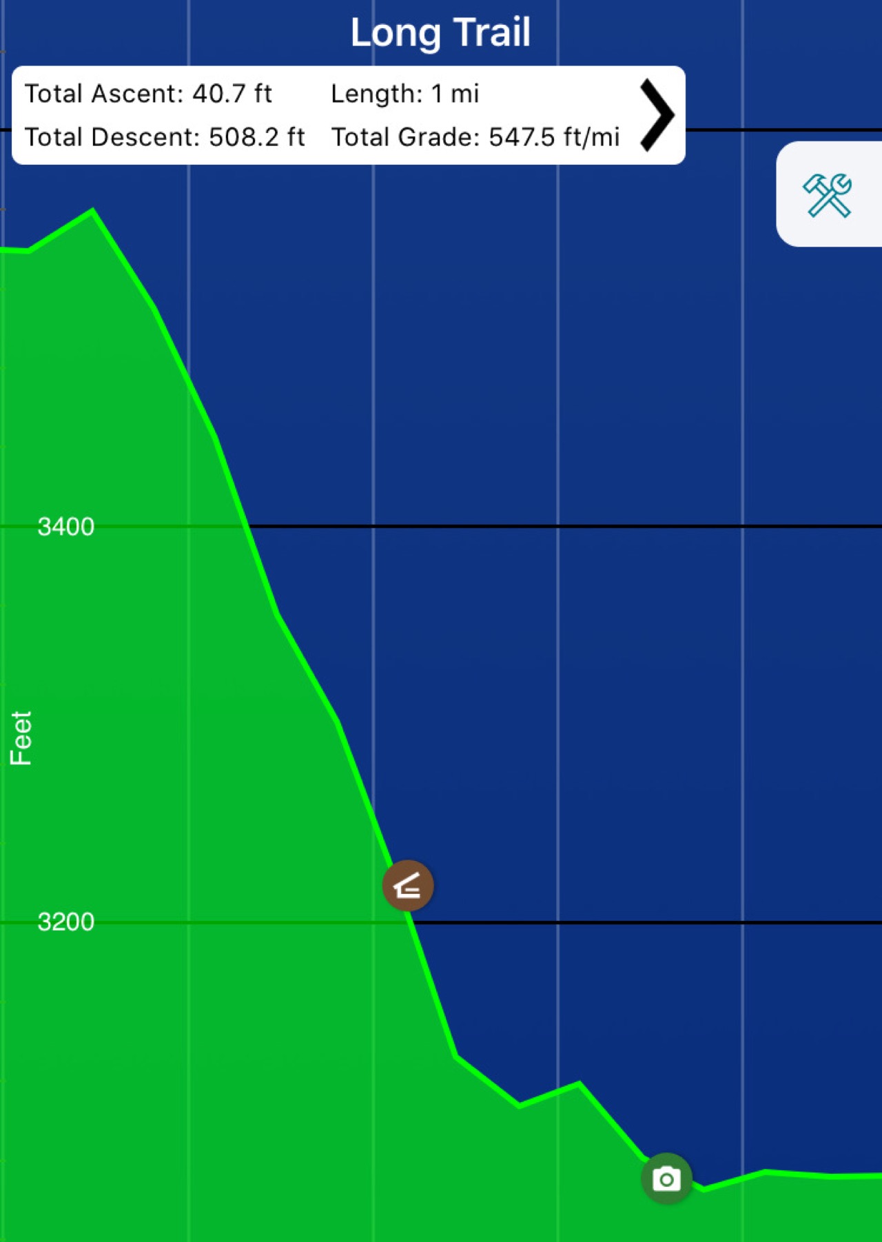
i headed out around 0700hr headed up mt. abraham. there was a quick view right off.
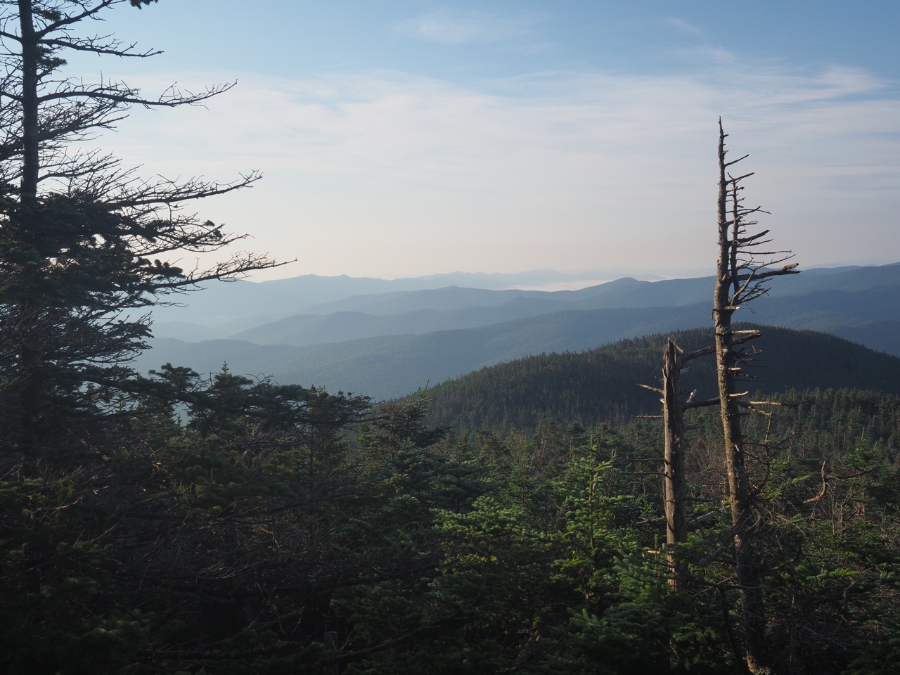
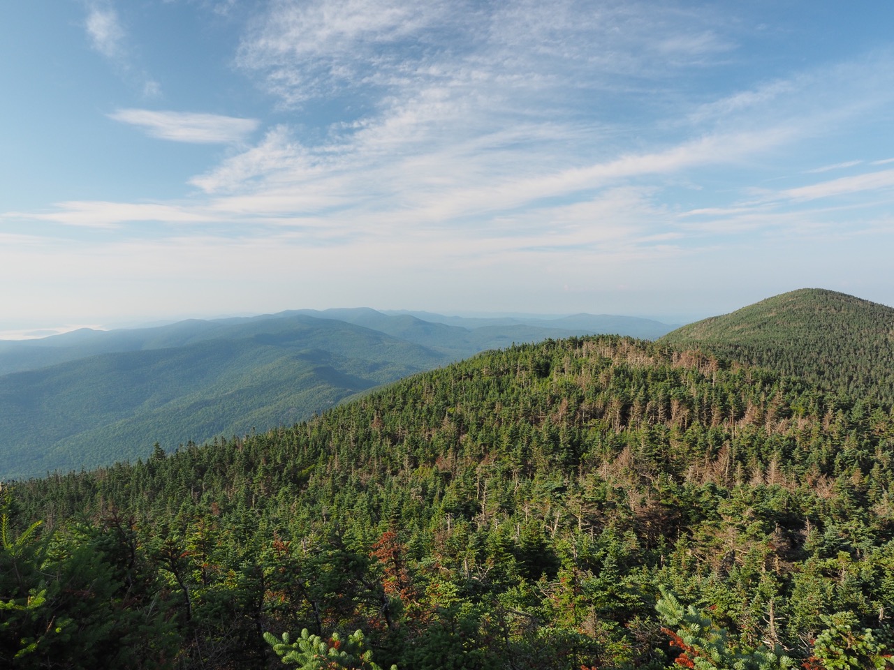
i had done most of the hike up yesterday, and after a brief but steep .8 mile i arrived at the top. these pictures don’t do it justice. sadly i don’t have software on my phone to stitch these into the 360° panorama that it deserves.
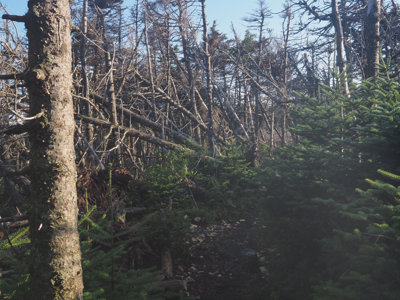
i hiked down from abraham into some blow down territory.
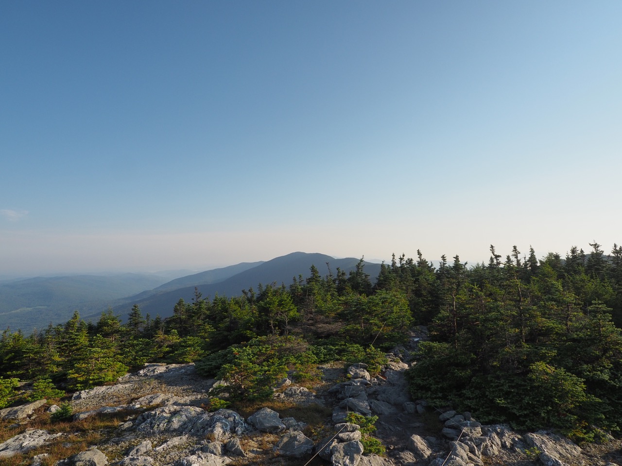
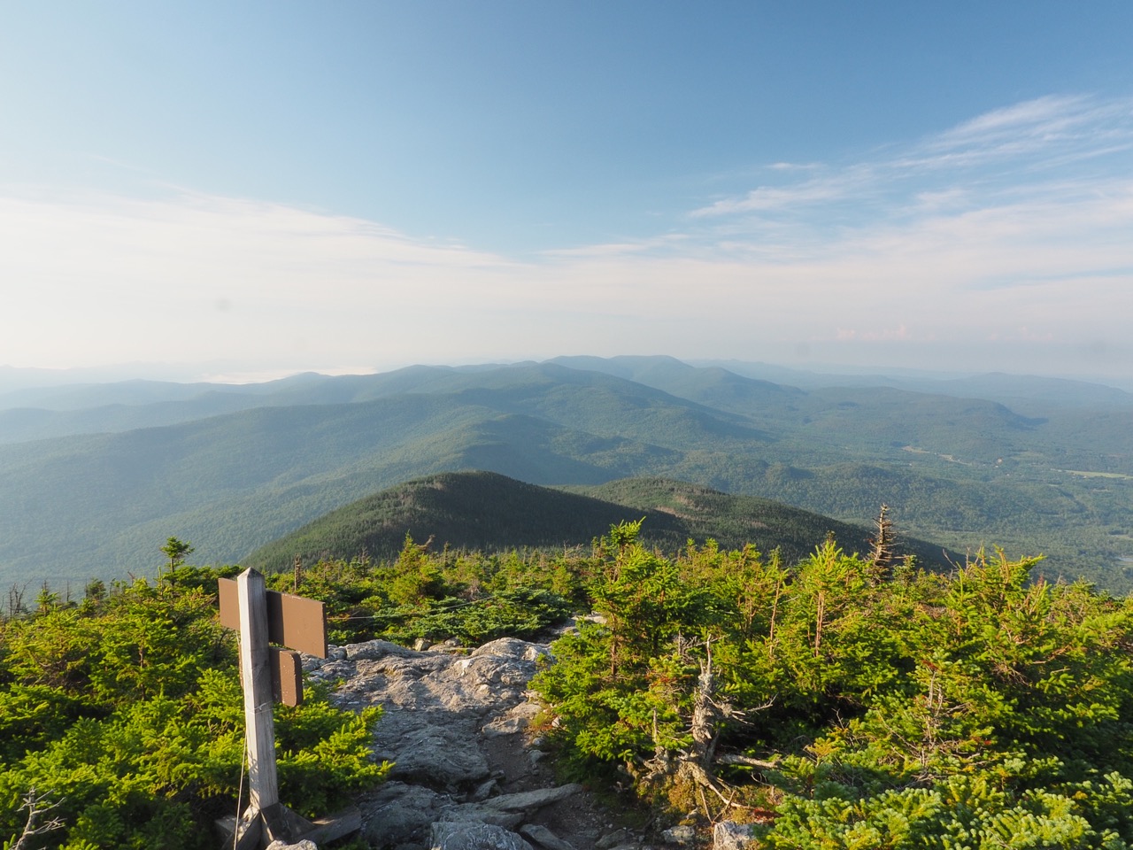
after just .7 mile, i topped lincoln peak.
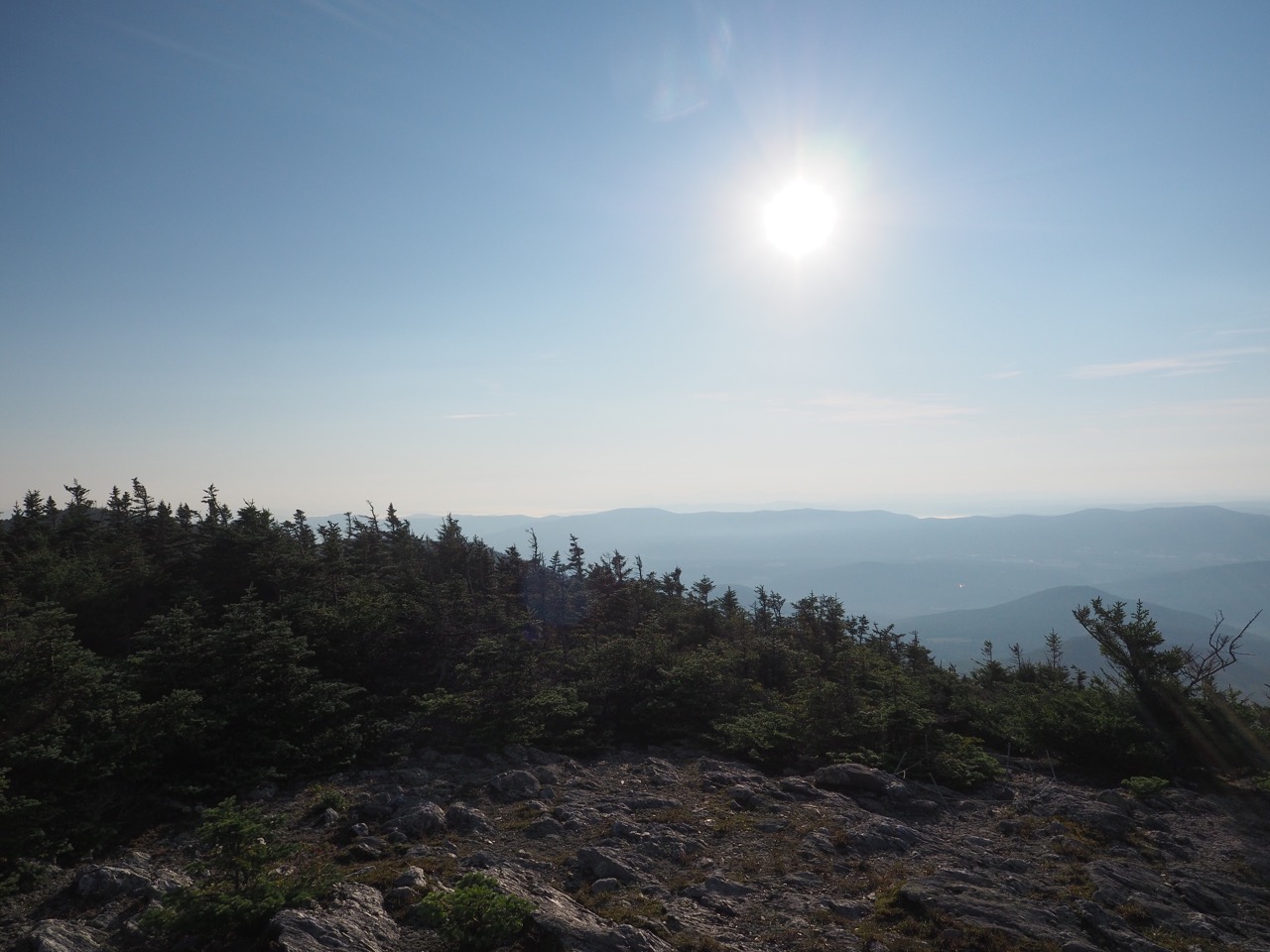
i hiked down off lincoln peak on a trail where the weather dwarfed fir trees didn’t really obstruct the view. i tried to take a snap of it, but the contrast range on the camera isn’t wide enough. either the view is great and the trail is black, or the trail is great, and the view is white. if i had a proper tripod (i.e. not 3” tall) i might be able to do some HDR composition.
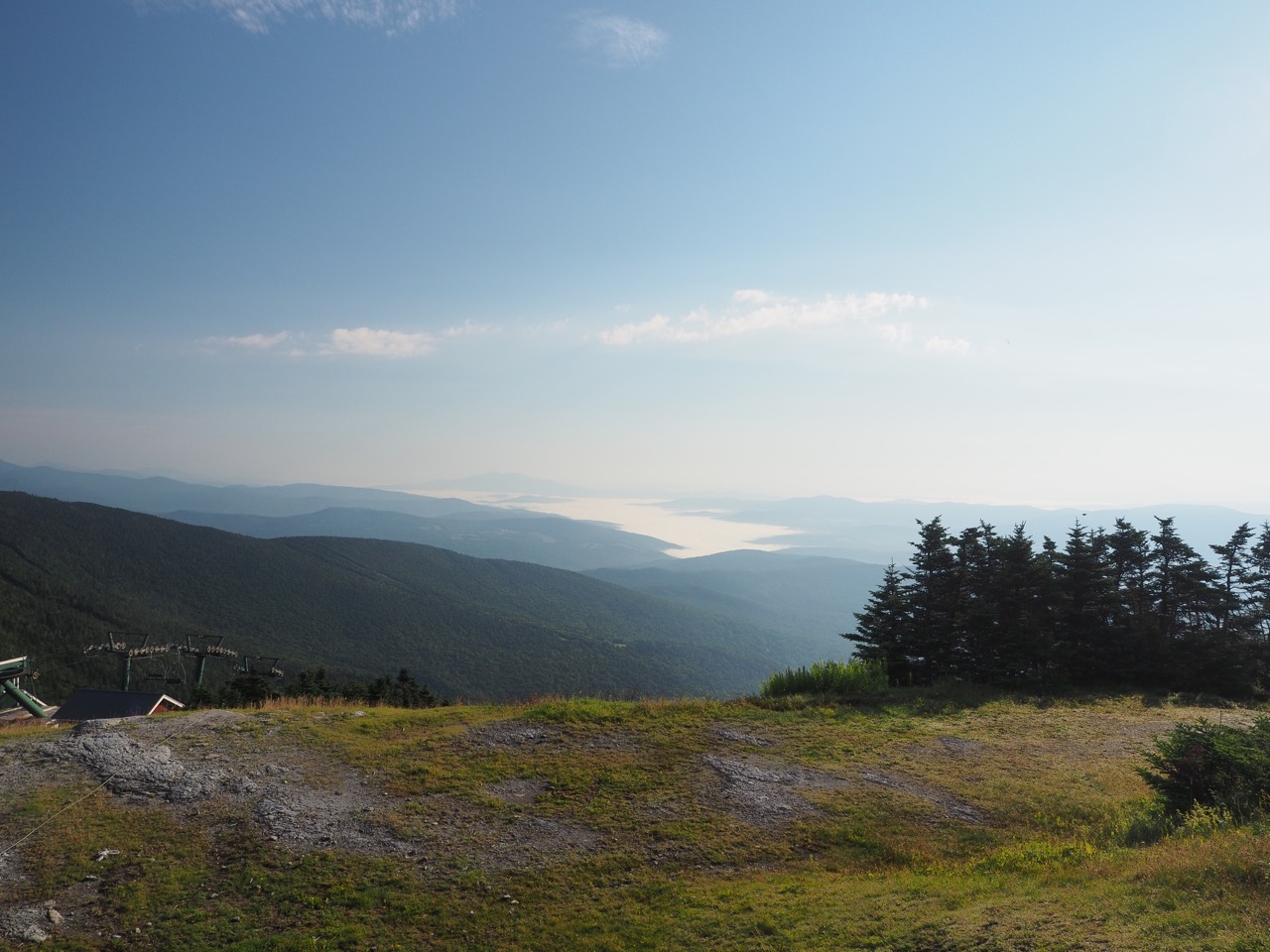
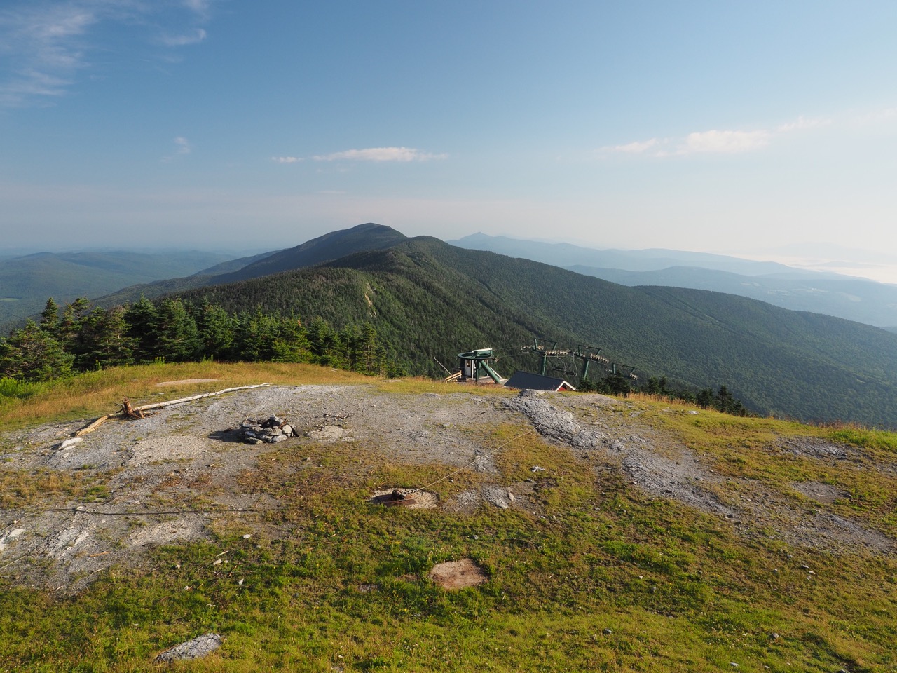
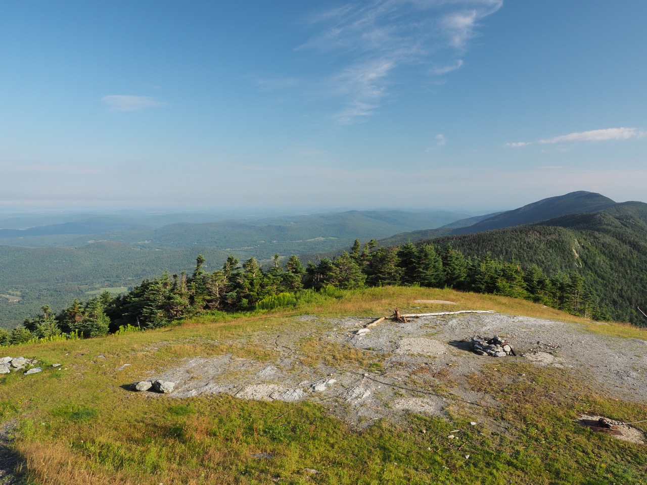
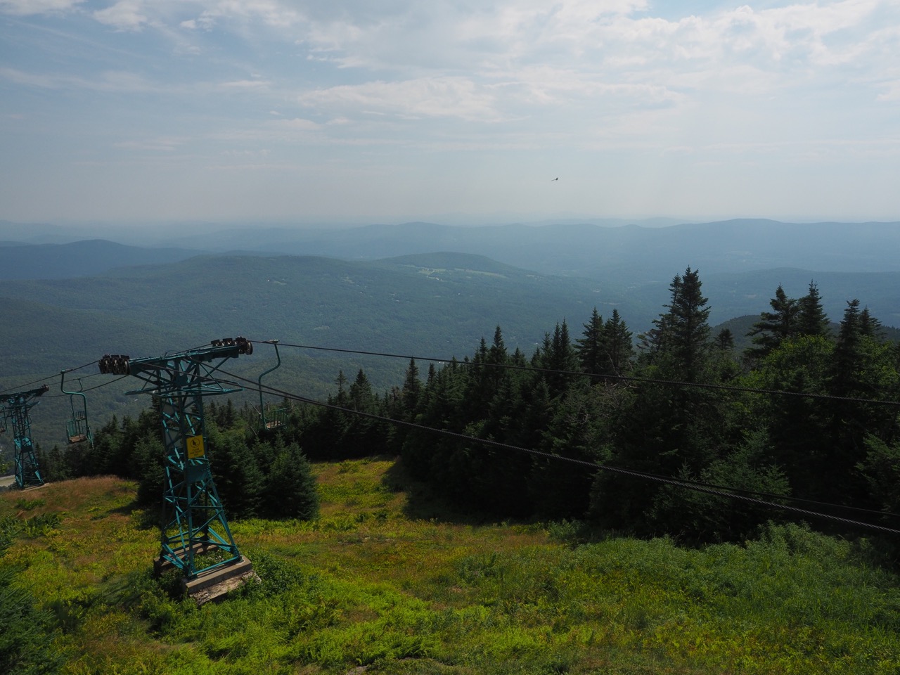
about a mile later i got to castle rock chairlift at sugarbush resort. the top station is left open as a shelter during the off season.
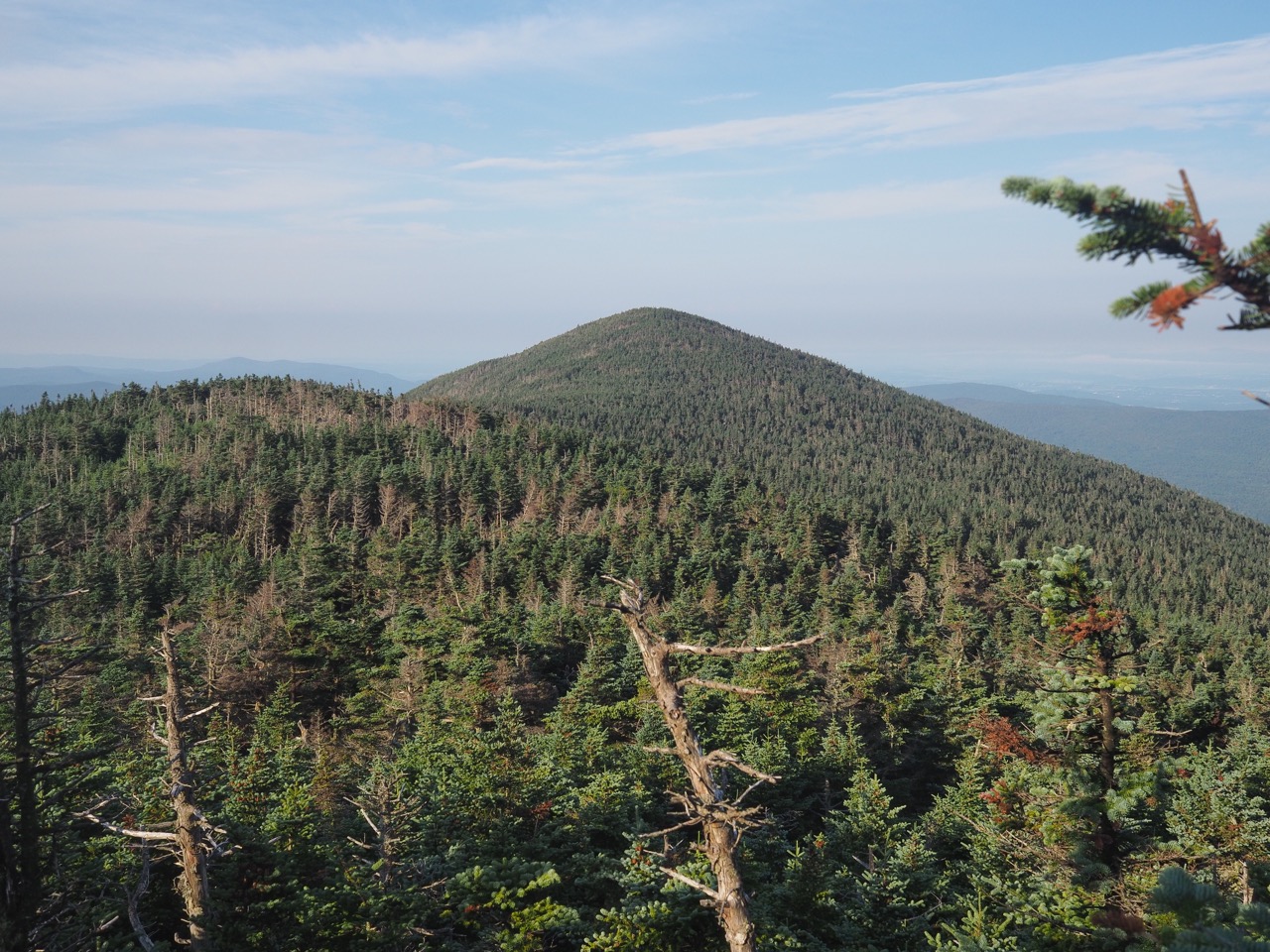
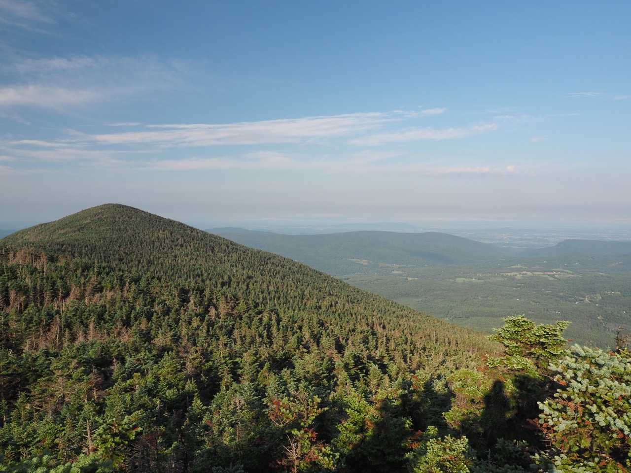
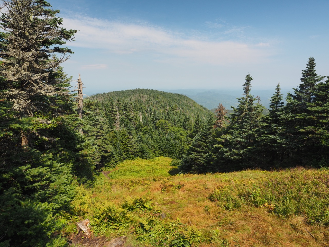
another 1.5 miles and i topped mt. elen, tied with camel’s hump as vermont’s third highest peak.
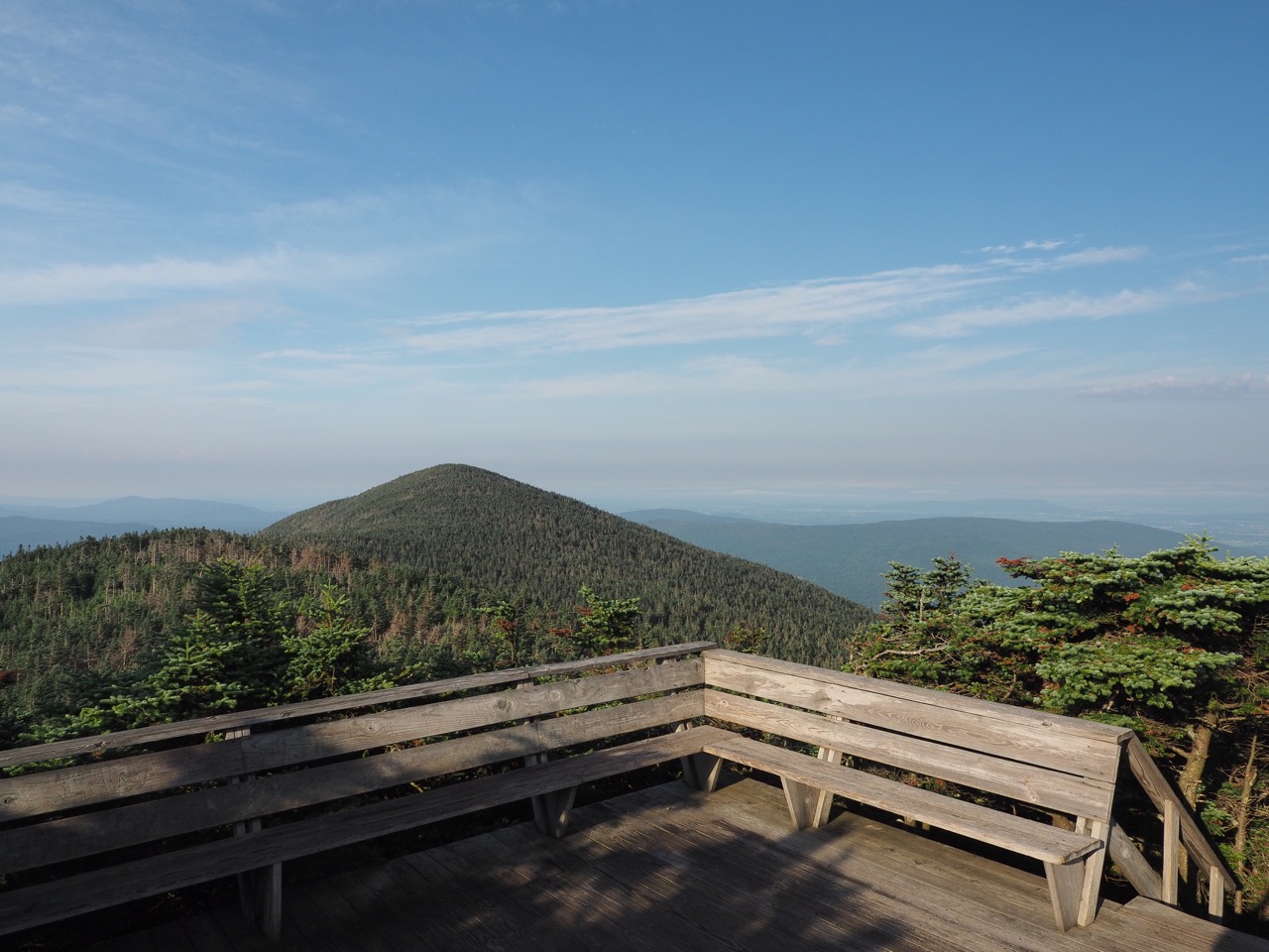
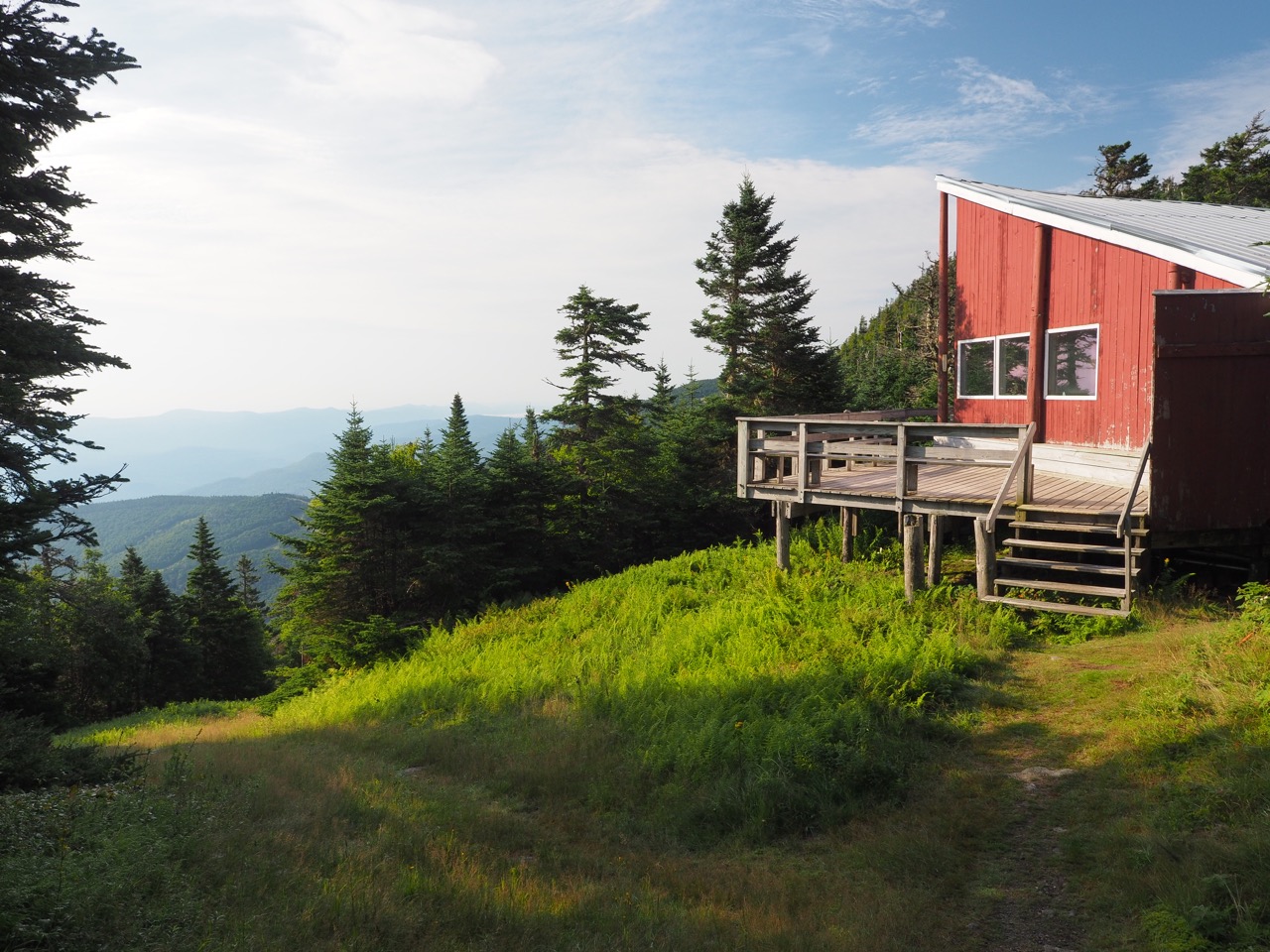
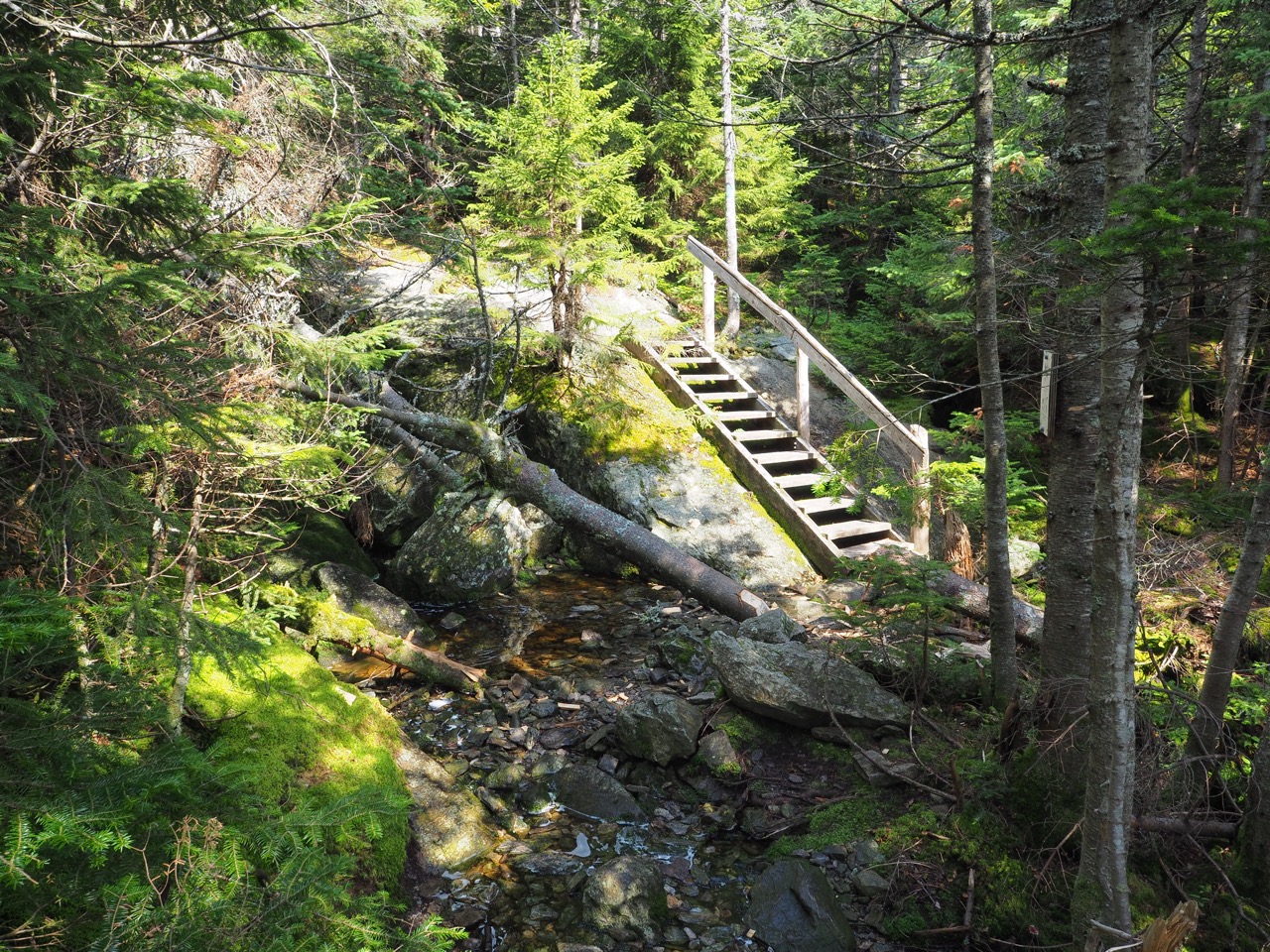
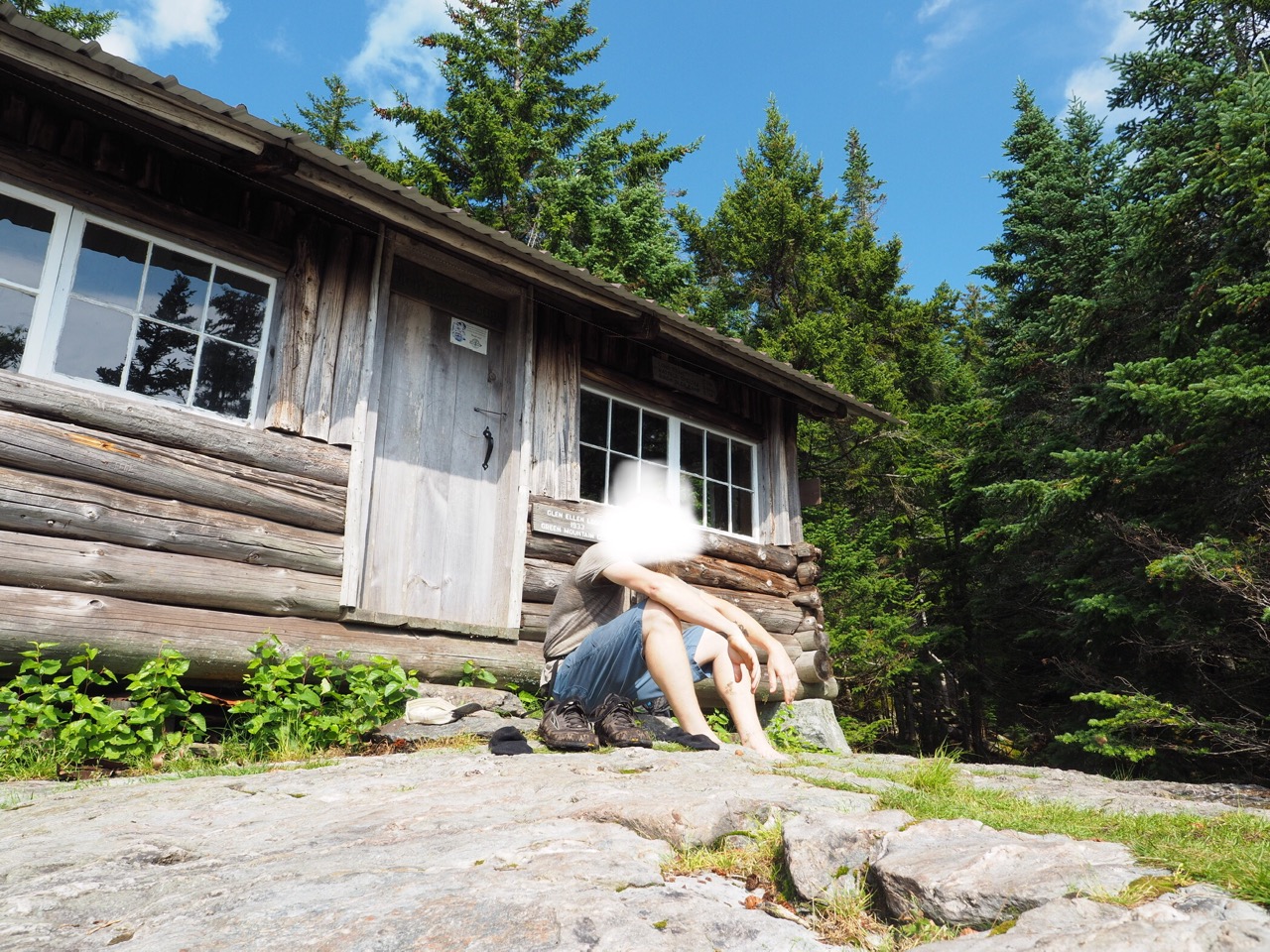
back into the woods again, and another 1.5 miles took me to the .3 mile blue blaze to glen ellen lodge. i wanted to see it, as it’s a neat double decker. the trail down was pretty steep. there were even some ladders and stairs.
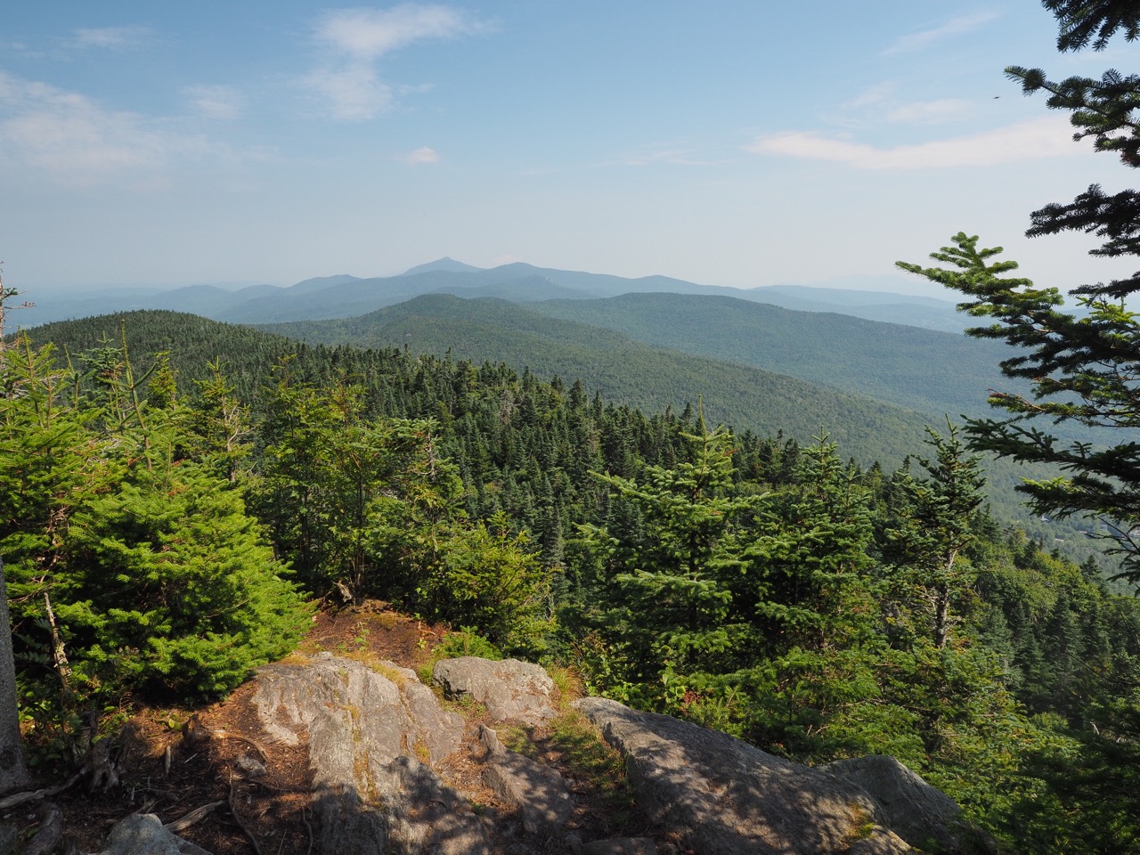
i got to glen elen. the view clearly used to be fantastic, but now the trees have grown up to obscure it.
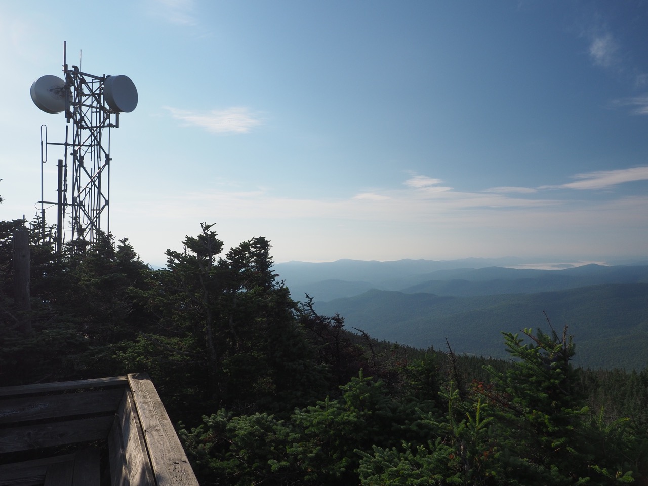
another mile took me to the top of mad river glen ski area.
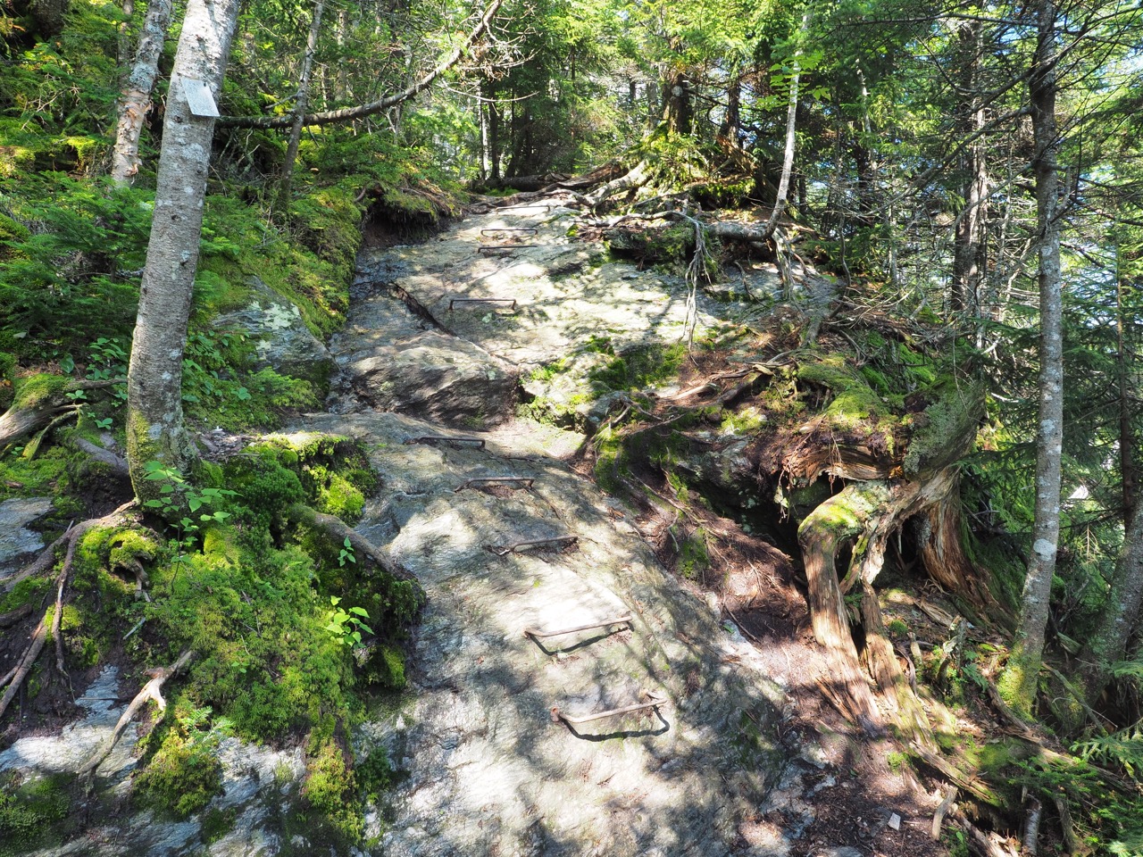
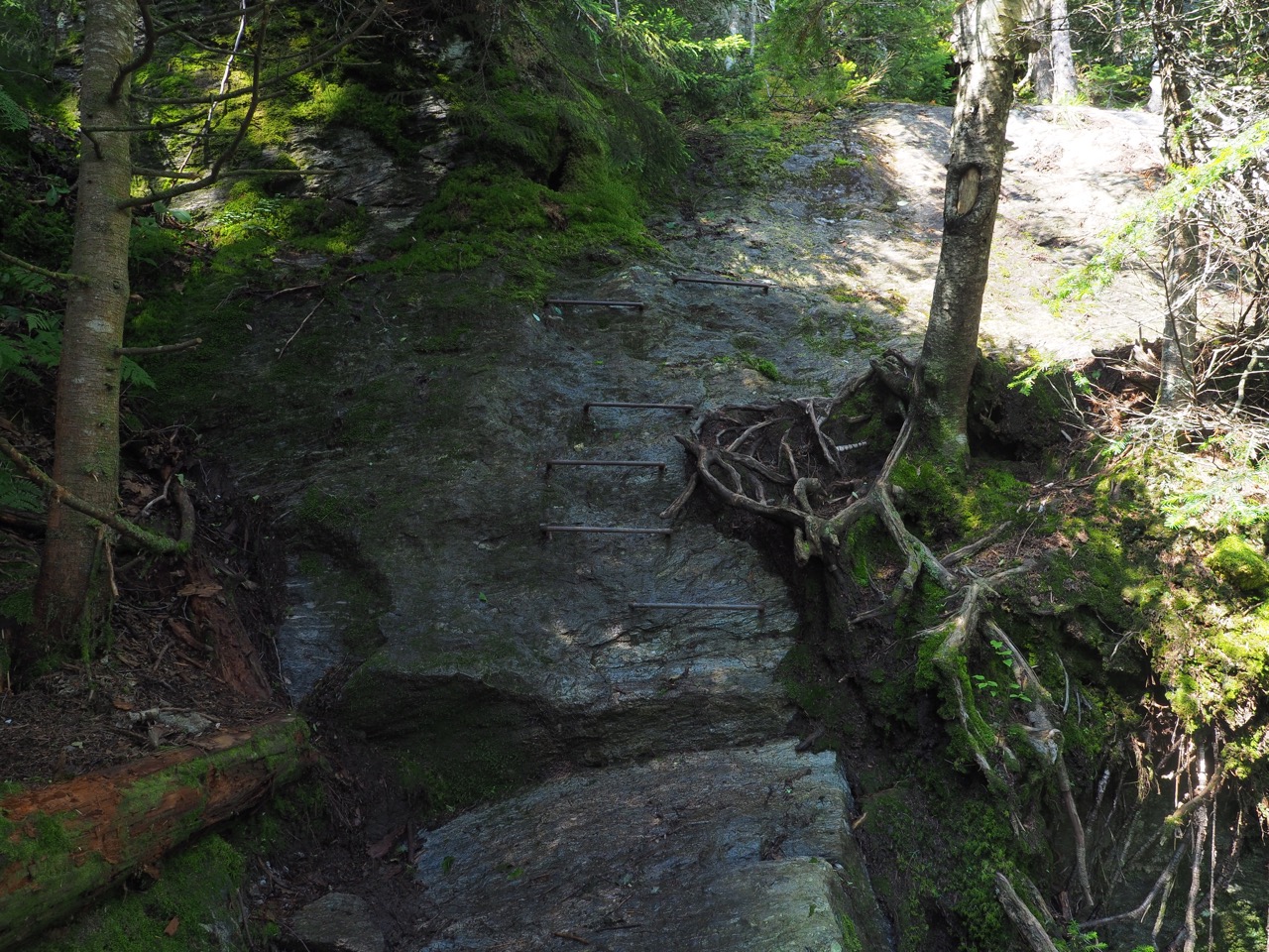
then things got serious. the .7 mile decent to theron dean shelter was perpendicular. there were numerous ladders, both wooden and metal rungs driven into the rock.

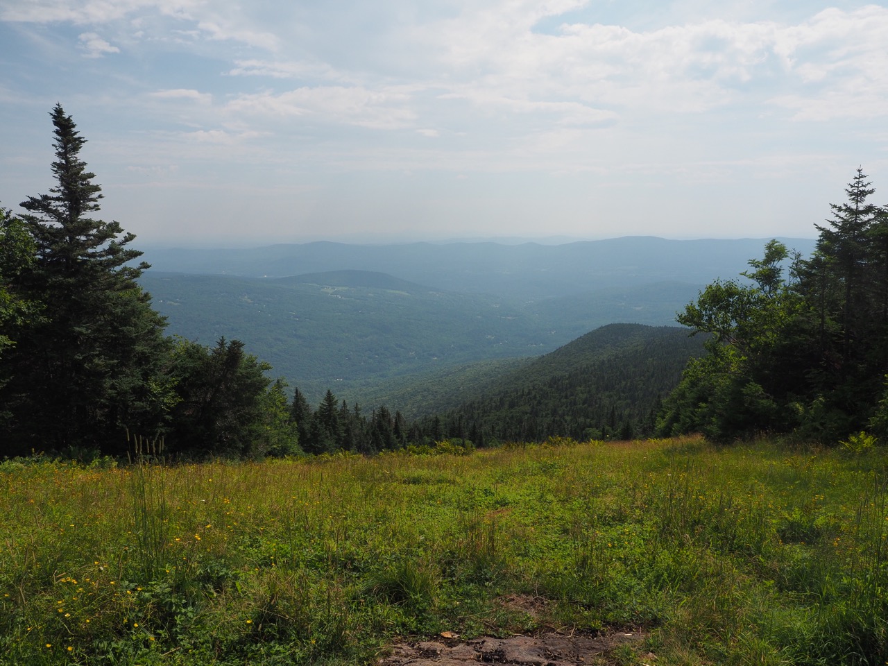
the view from the lodge however was spectacular.
the trail continued its perpendicular descent to appalachian gap.
i continued on, stopping for lunch on the trail, nowhere in particular. i hiked past birch glen lodge, where there were a number of folks, but i continued on to cowle’s cove shelter, arriving quite early.
i washed my feet and my socks and relaxed for a bit resting.
some other hikers showed up a bit later, “smucker” a second time through hiker, nobo in 2017, sobo this year. also “nails” and her nephew, “mate” (pronounced like a brit city kid e.g. moit) they apparently started out as a group of five, some of which were nails kids, but everyone had bailed except mate.
smucker lamented that there was a perfect bear hang branch, but that it was too high for her to reach. i showed her the line throwing technique that brother outlaw showed me. she did it on her first try and her mind was blown, saying, “you turned me into a rock bagger!” she had been tying her line to rocks and throwing them over.
before bed, i texted layla and bria about their offer to shuttle me around richmond. i then had to shut down pretty much immediately because i was seriously running out of batteries.