wayawanda shelter to william brein memorial shelter
05 June 2022 — 3 min read
and then there was one.
the birds woke me up a little before 05:00. i packed up and was on trail by 05:45. my plan was to do about 27 miles.
rocket wasn’t up when i left, which wasn’t surprising as he only had 10 miles to do today.
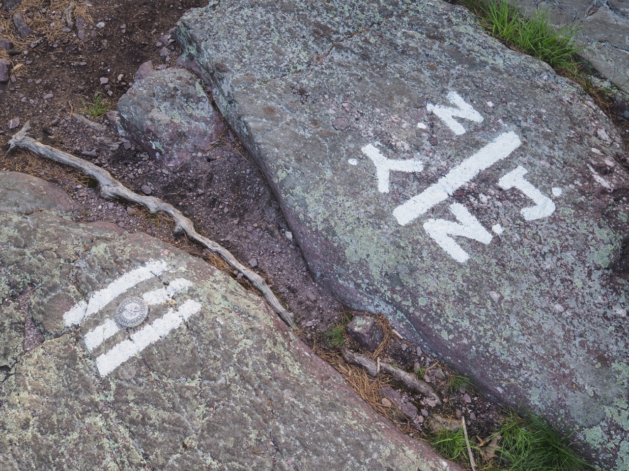
i finished up new jersey and entered new york, passing a painted rock on top of the ridge. the trail in new york was hard to follow. blazes were sporadic and i frequently found myself wandering around trying to find the trail - very frustrating to say the least.
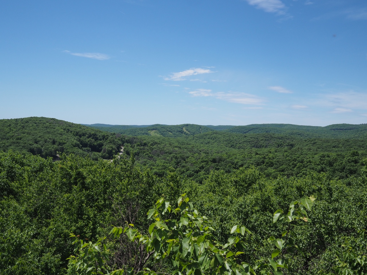
the terrain was pretty consistent in the morning. gaining elevation to walk the rock exposed ridge for a bit before decending and then reascending to the ridge. very early on i was able to see new york city in the distance, but later it was obscured by nearby hills. unfortunately the photo i took of it shows no sign of what i saw.
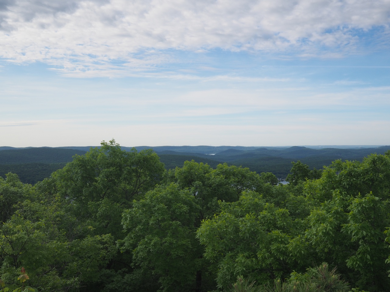
i stopped for lunch near a lookout, and then descended off the ridge. a few miles later there was some trail magic. a woman whose husband hopes to do the trail next year was giving out food, fruit, and sports drinks.
i carried on over a place called arden mountain, and descended what is known as agony grind. it was rough. smooth rocks and loose leaves on a very steep slope made for some slow going. at the bottom there was a road, and more trail magic!
i sat and ate a brownie and a piece of homemade carrot cake and a sport drink while listening to the purveyor tell us about the history of the area.
from there i hiked down a closed street for a few minutes before entering the harriman state park. the terrain here was very different from the morning. for one, the trail was much easier to follow, probably because it was much more used. the forest also opened up and there were only a few big trees with grass underneath. no young trees or saplings anywhere.
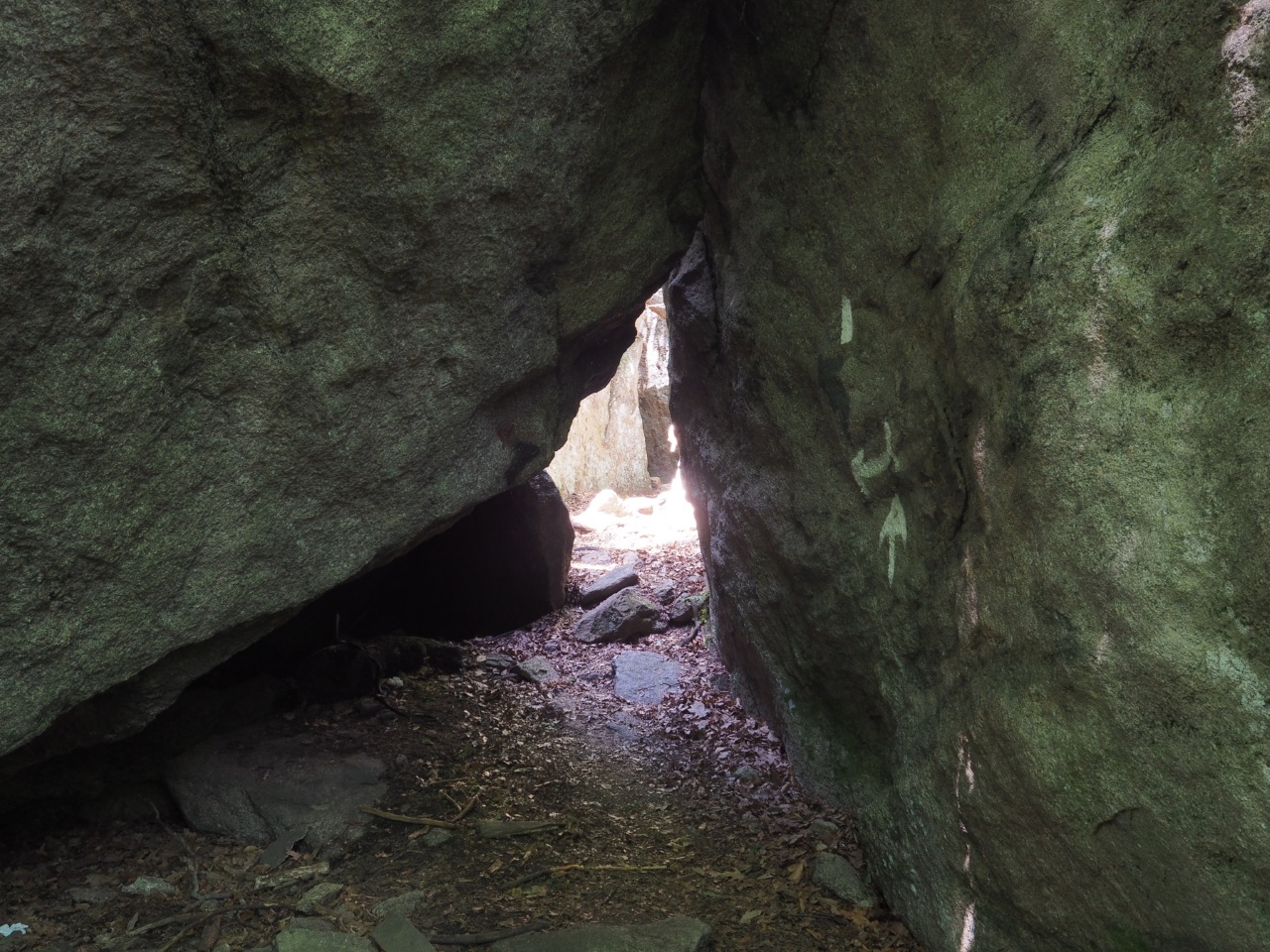
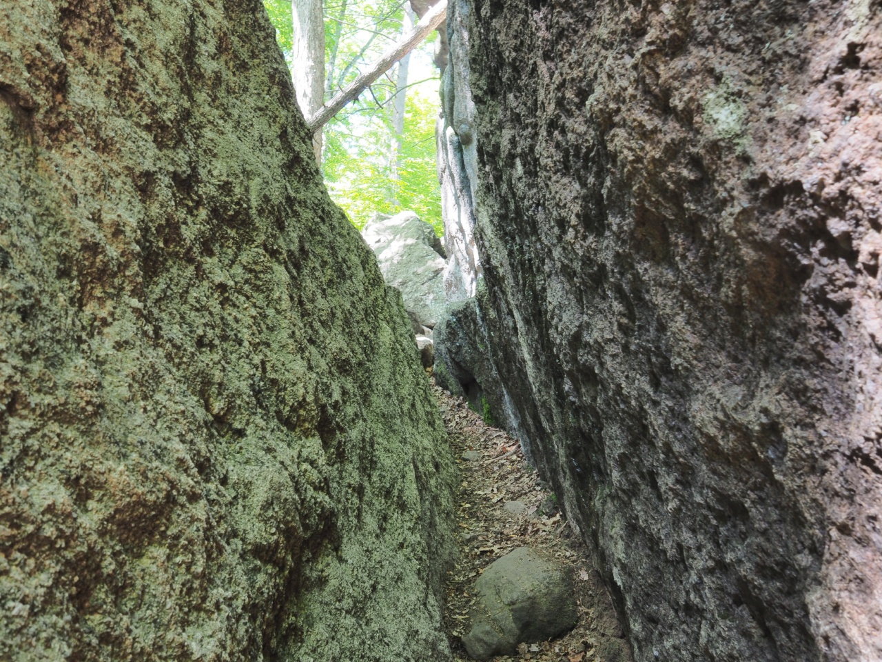
at some point i found the ‘lemon squeezer’ a rock formation that gets narrower the longer you walk into it, and at some point you’re forced to take off your pack in order to fit. this was immediately followed by a vertical climb of maybe 10 feet, but with no assistance, a pack on, and worn out shoes it was a little scary.
i hiked along and around 16:30 arrived at the trail to fingerboard shelter. i checked the map however and there was another shelter 5.3 miles away and the elevation profile looked favorable, so i went.
about an hour and a half later i arrived at william brein memorial shelter. there were a few other tents about, but not a lot of signs of life. there were two other hikers hanging their food bag, apparently parents of two young kids (5 and 8 i think they said) that were in a tent. they were thru-hiking and had started a flip flop 6 days before. i can’t imagine doing this hike with children, but these folks aren’t the only family out here.
there was no one in the stone shelter, so i set up my stuff, walked the .4 mile to the water source for my bath and water. i made dinner in the shelter, but the mosquitoes while few in number were more than i wanted to deal with, so i ended up setting up my tent.
i’m kind of pondering another 30 tomorrow. the weather is supposed to be good for one more day, and i’m inclined to get as far ahead as i can while it’s good. we’ll see what happens. there is currently an extremely loud whippoorwill doing it’s thing vigorously.
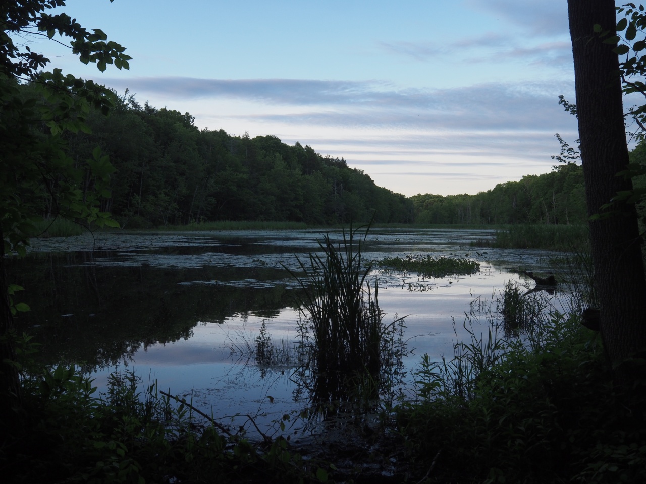
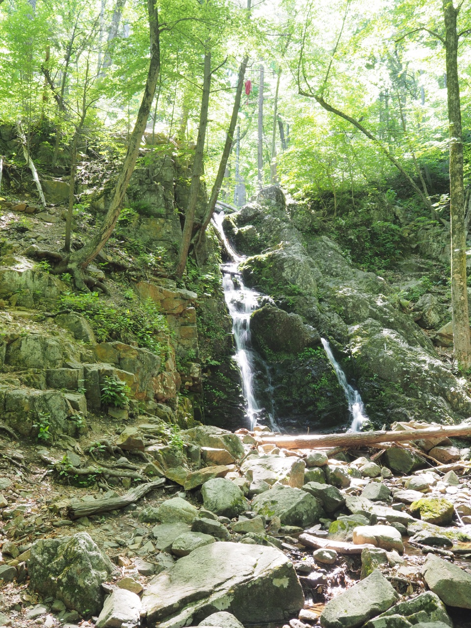
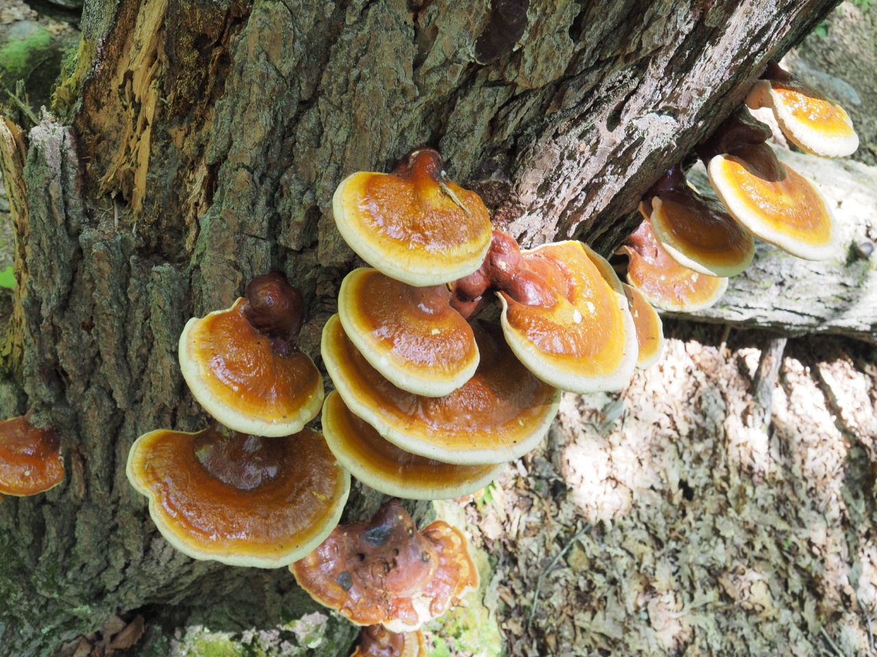
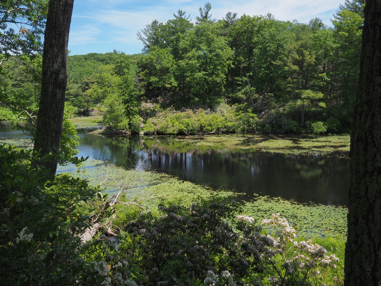
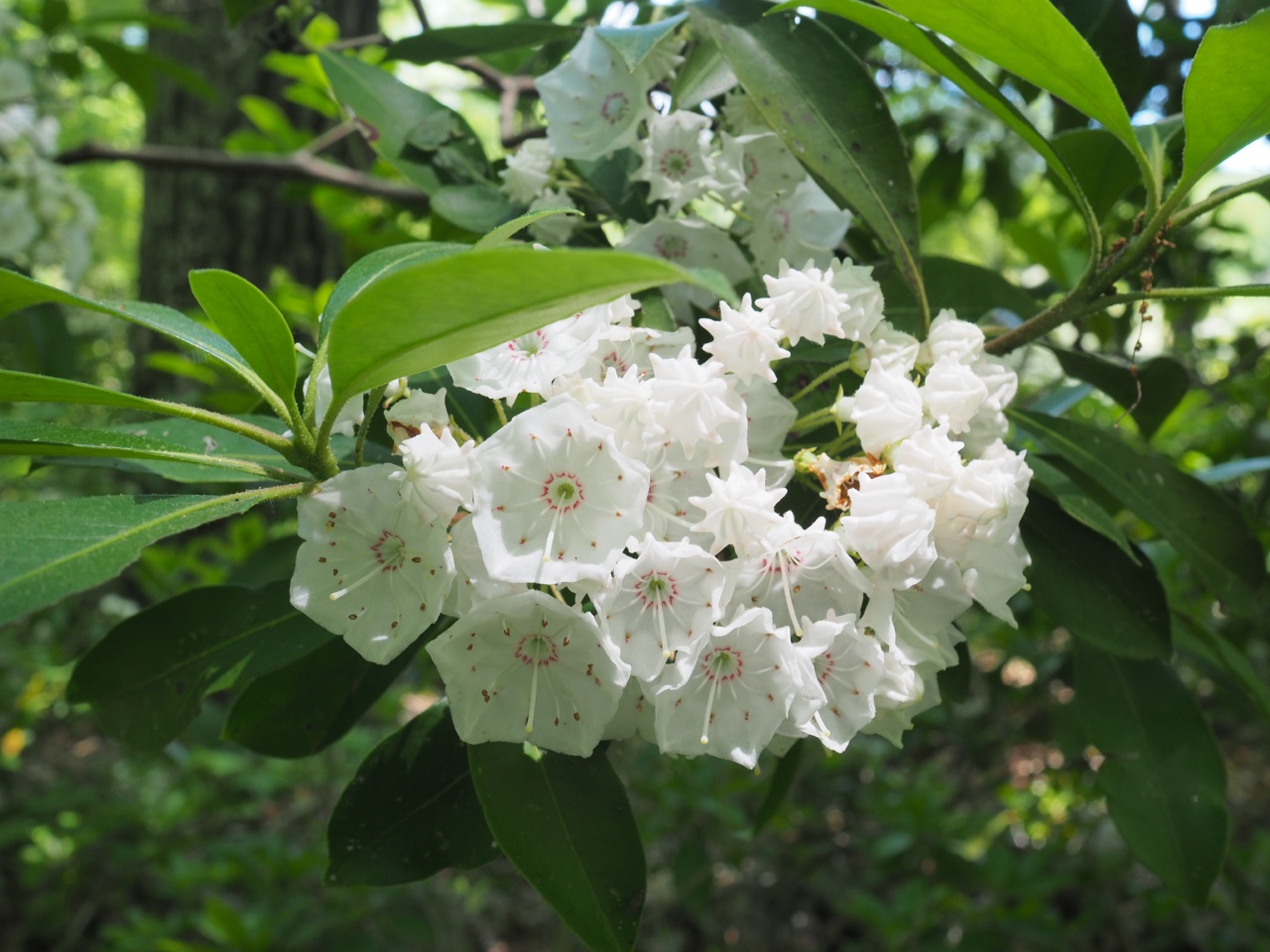
some additional images from today: