standing indian shelter to rock gap
25 March 2020 — 6 min read
miles: 19.9
total: 105.8
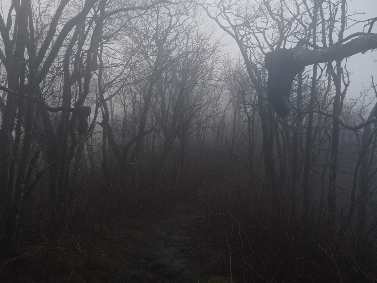
i am so glad i stayed in the shelter. torrential downpours all night and fog so thick that i had to pull out my tent and drape it over my sleeping bag.
which way got up just before day break. apparently her tent was soaked through during the night due to the wind blowing rain sideways.
the weather had cleared and “which way” had cell service (a.k.a. verizon) and i told her about atweather.org, a site i found out about that can give the forecast for any AT shelter.
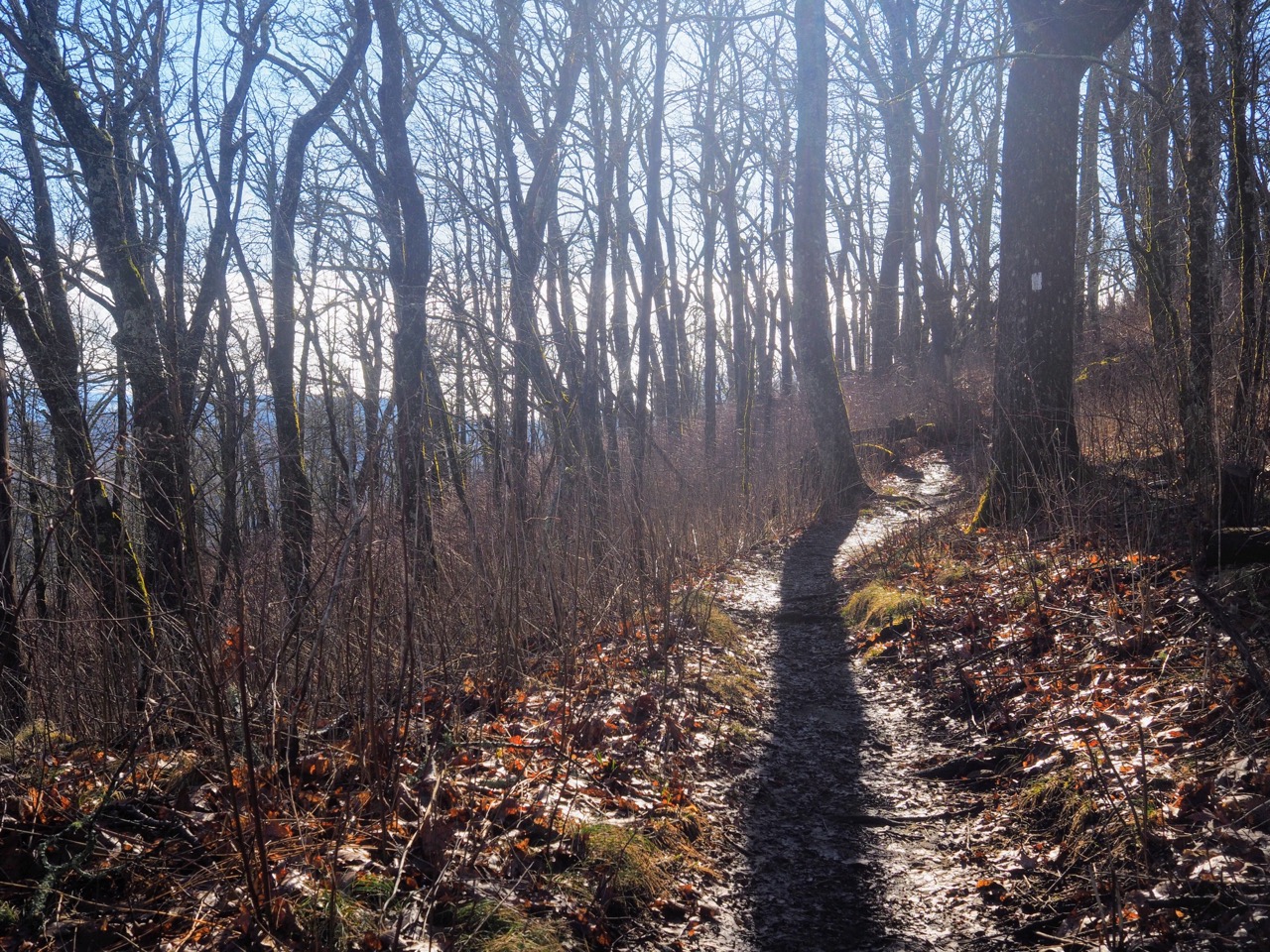
the rain had subsided and the forcast was for partly cloudy! despite being in the shelter, i wanted to get going so i could have more time to dry out my gear when i stopped for the night. i was hoping to make it to 24.5 miles to a small tent site near moore creek. all the advicesays to keep your mileage lowatthe beginning, and i’ve been being really good about it, it’s ow time to open things up.
i left “hot hands” and “which way” at the shelter. the other item of the day was to call maggie. i hadn’t any mobile service since hiawassee and with the rain yesterday, i didn’t dare take my phone out to check.
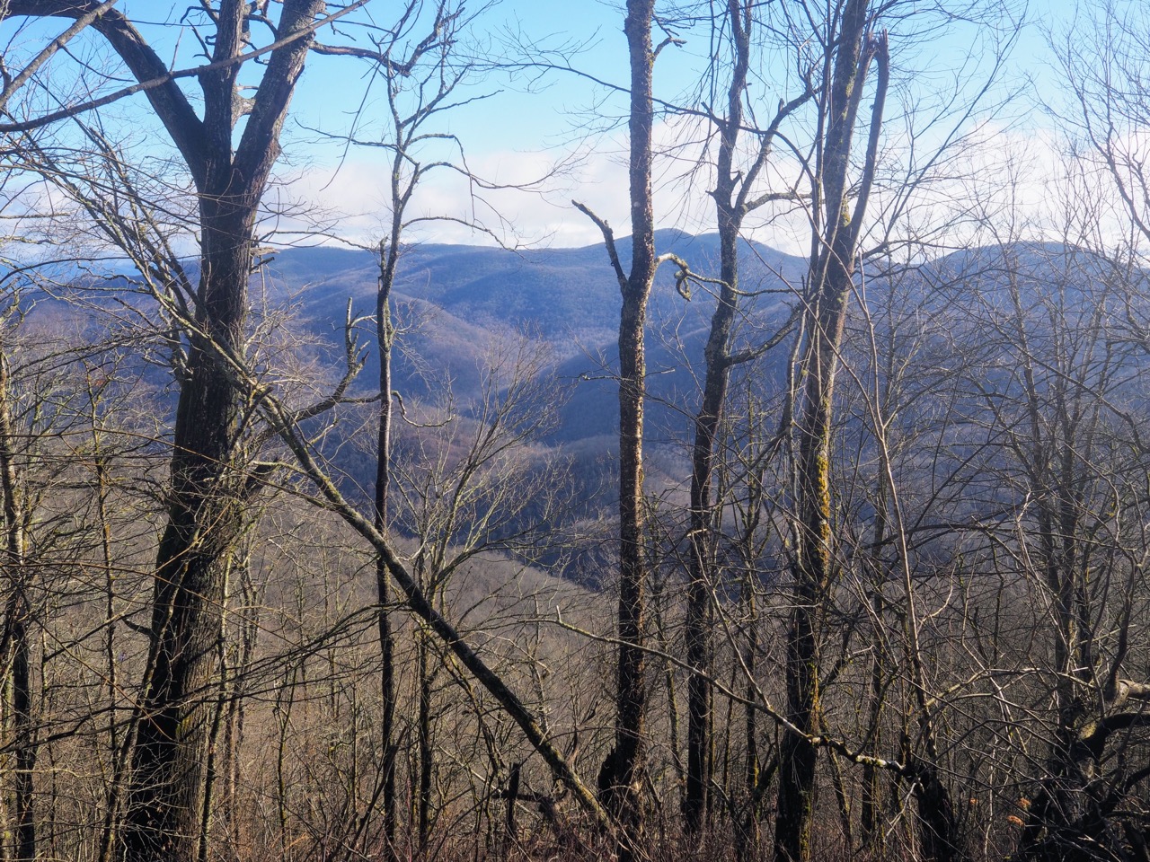
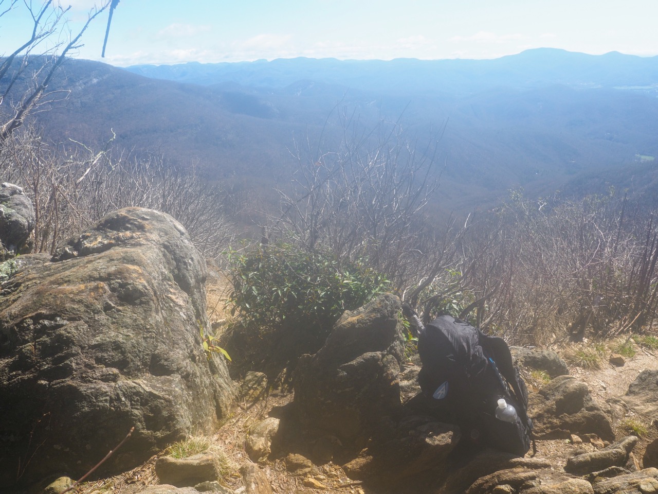
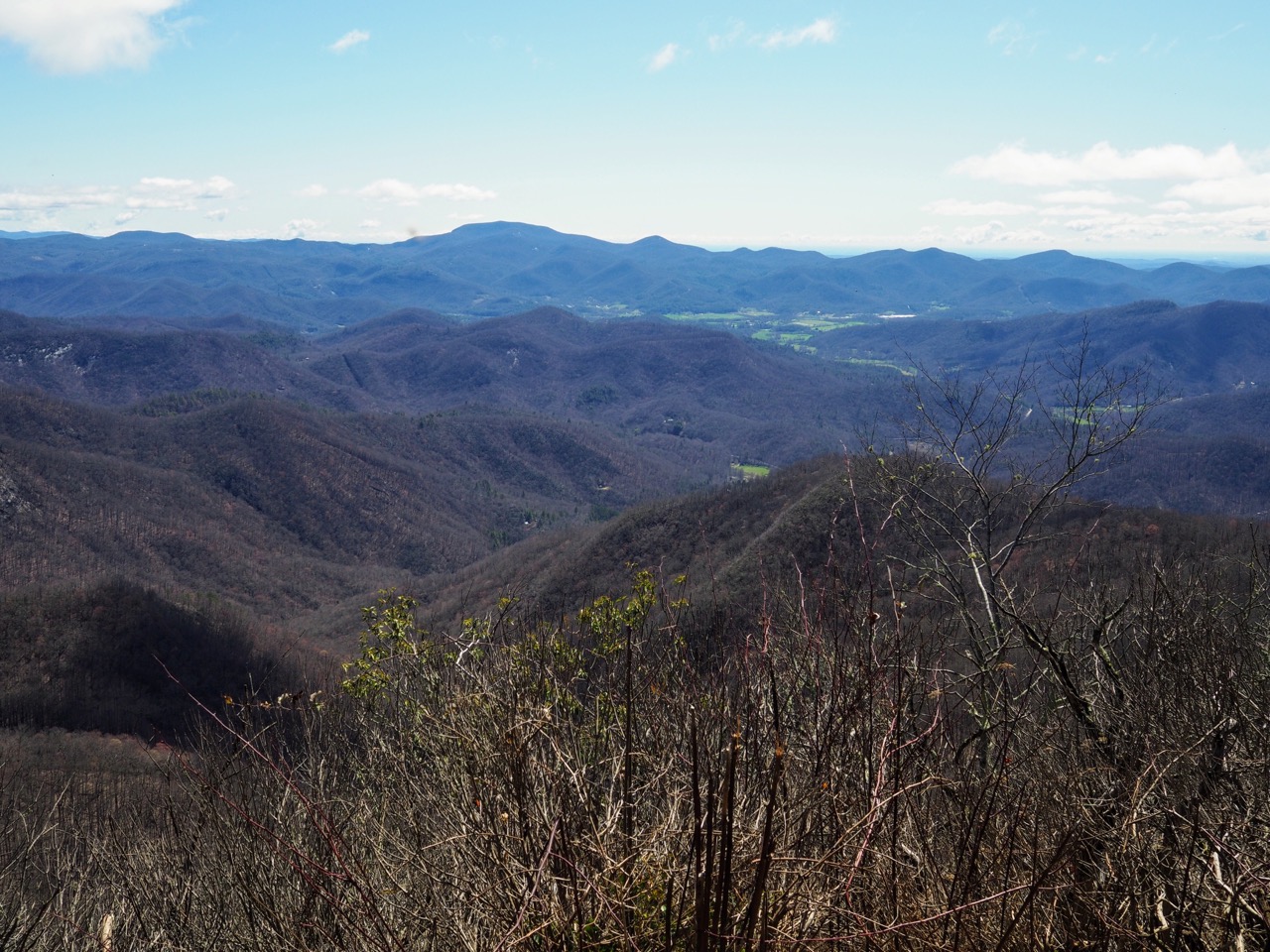
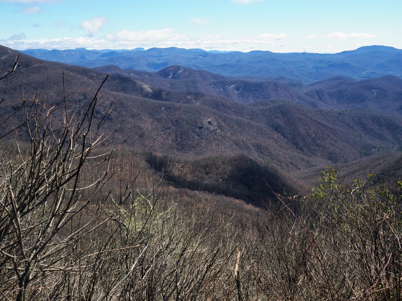
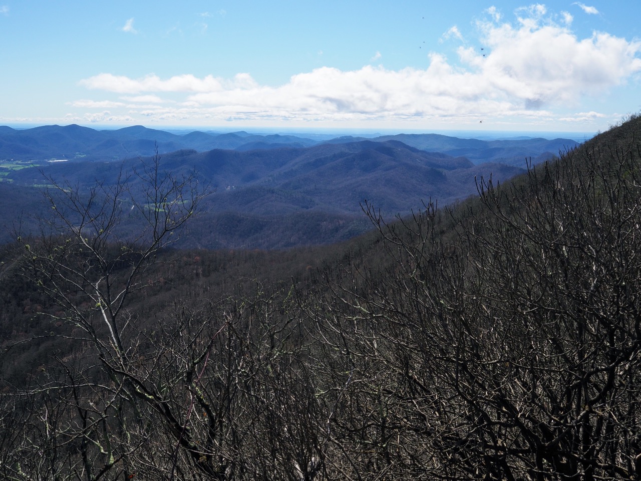
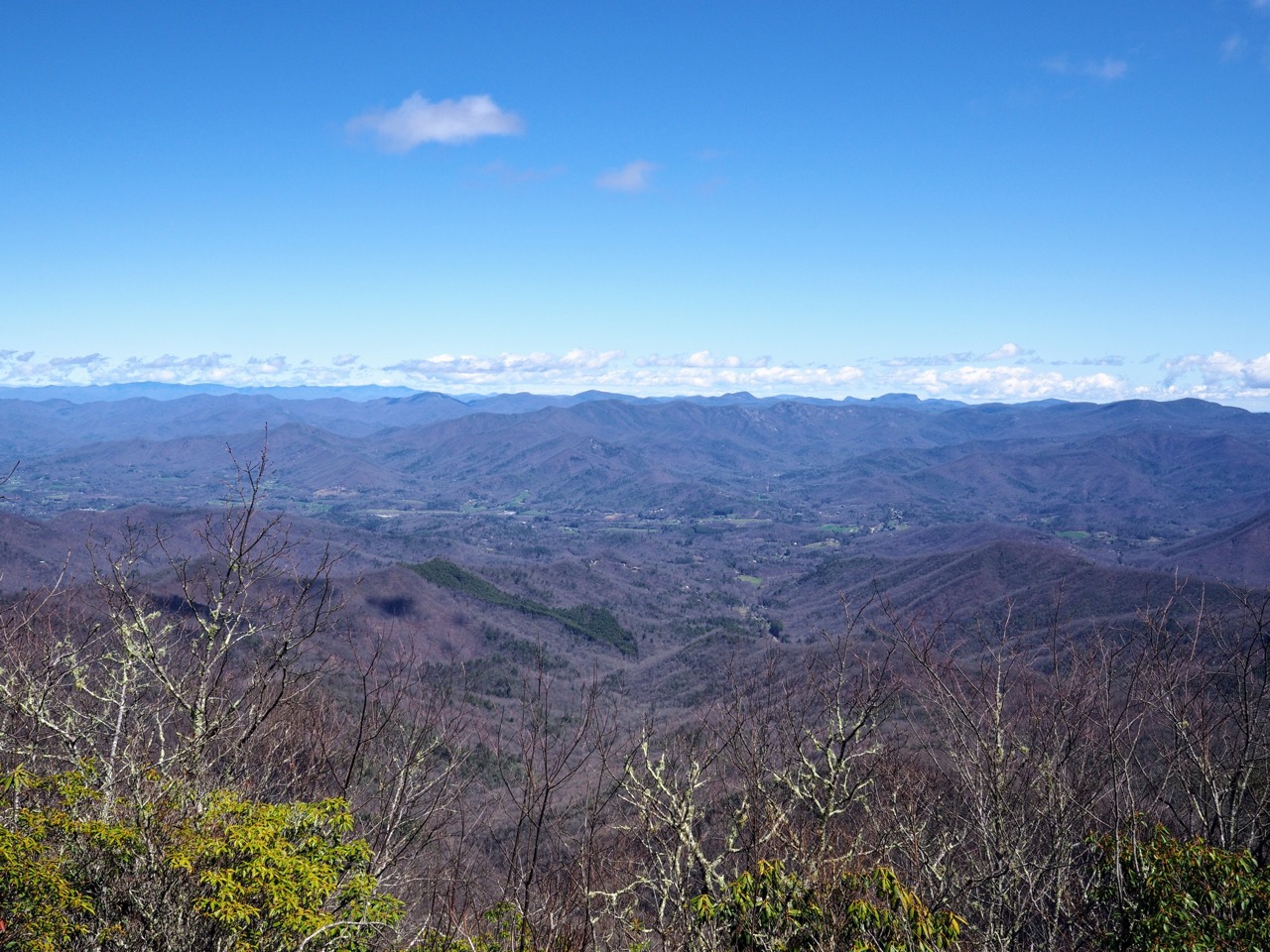
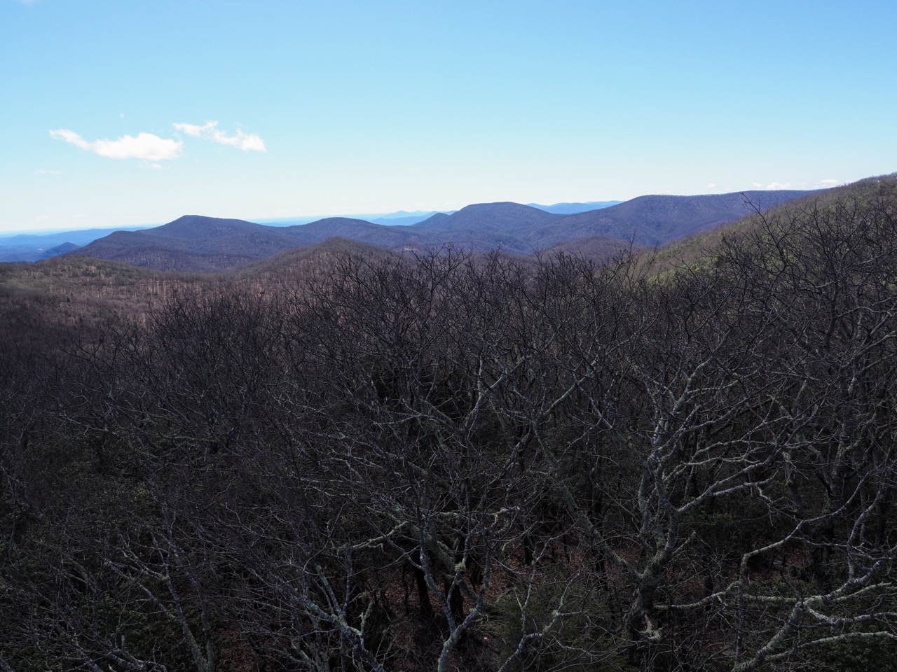
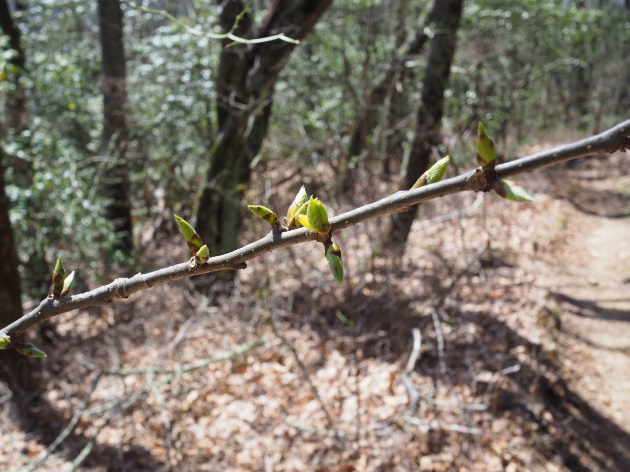
the fog quickly lifted revealing some views.
the trail was relatively flat and i made good time. i found some spotty mobile service along the ridge and called maggie. it was not a pleasant conversation. maggie has been increasingly trying to convince me to get off the trail, and i am determined not to. to undertake a challenge of this magnitude you must be able to push through the hard times. i knew that would be a challenge before i started, but i didn’t expect that every time i called home i would be told how irresponsible i was being and that i should get off trail.
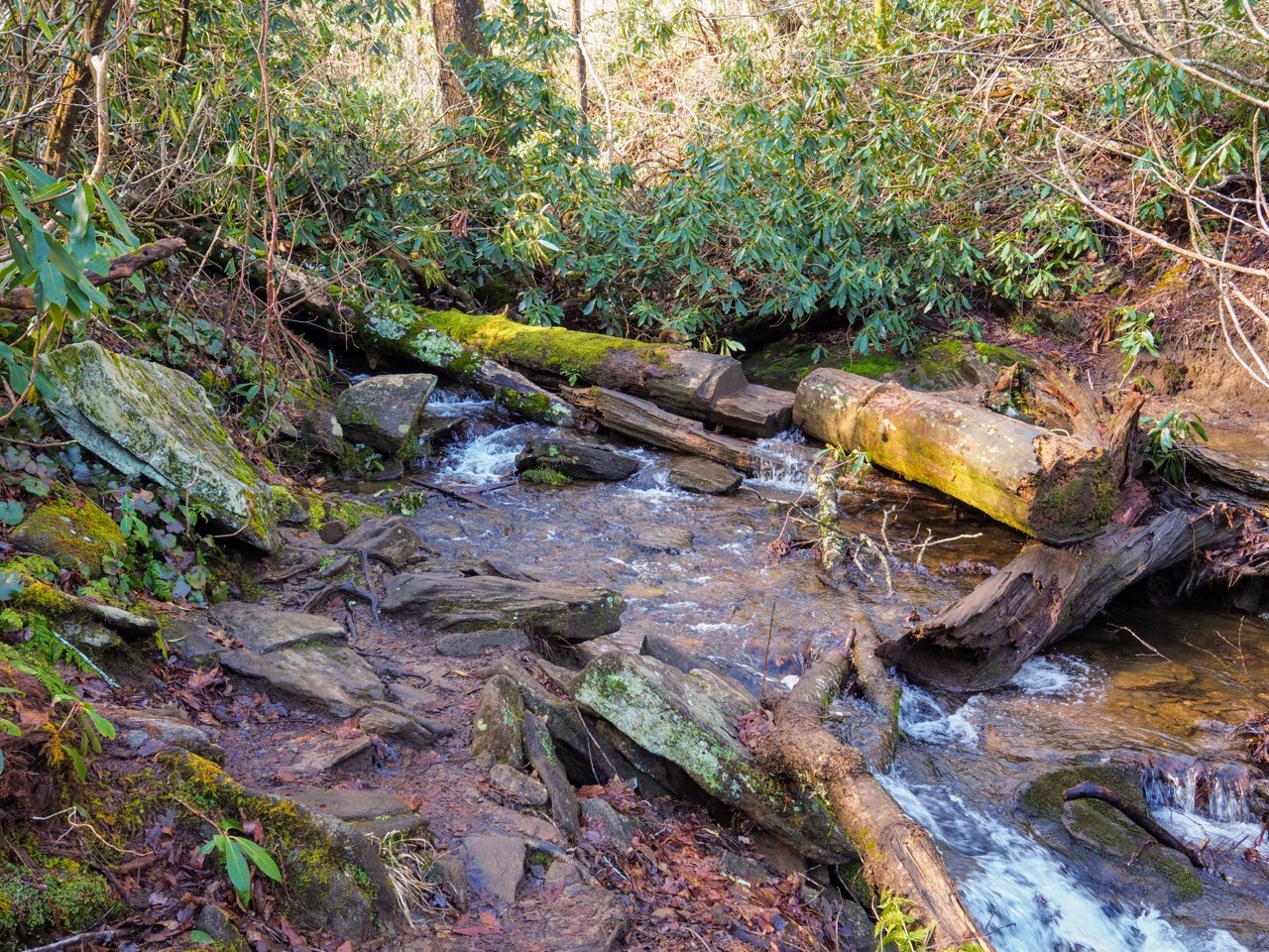
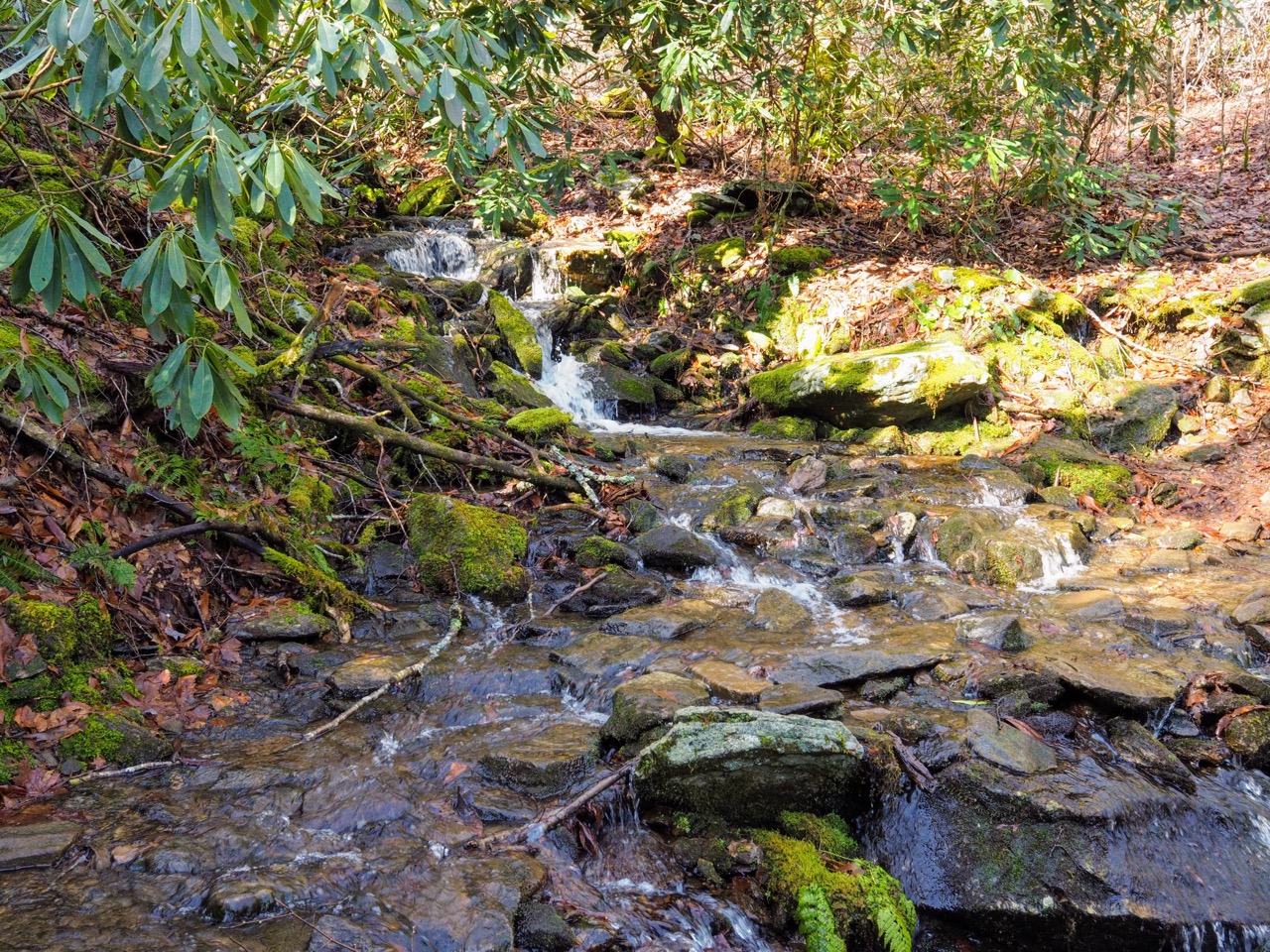
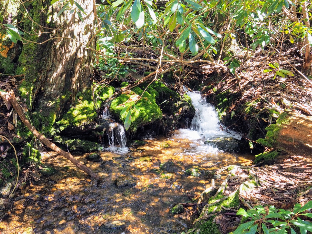
i crossed a few beautiful streams.
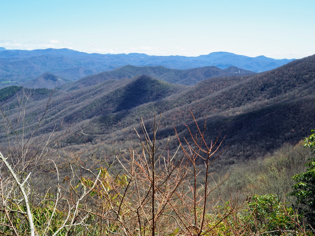
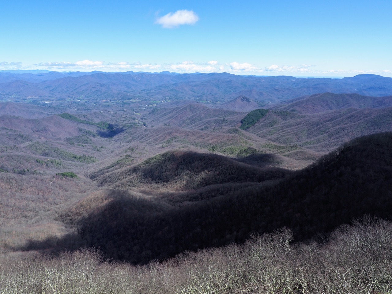
i tried to get another view of a stunning vista, but it didn’t come out well. (we’ll come back to this later.)
it was around this time i ran into someone— i honestly can’t remember. the only person i recall on the trail that day didn’t know. i think my brain just tried to shut it out by refusing entry. but what the hiker said made it through, “smokey mountain national park is closed.”
i’m writing this on march 28th, and just seeing that makes tears come to my eyes.
i kept walking while i processed this information. smokey mountain national park was about a day and a half ahead. i was already trying to figure out how to get a permit printed out, because we had already received word that the nantahala outdoor center (NOC) was closed. usually you can get a permit there on the way into the park. with not just the NOC, but the park being closed, what? no permits, no access.
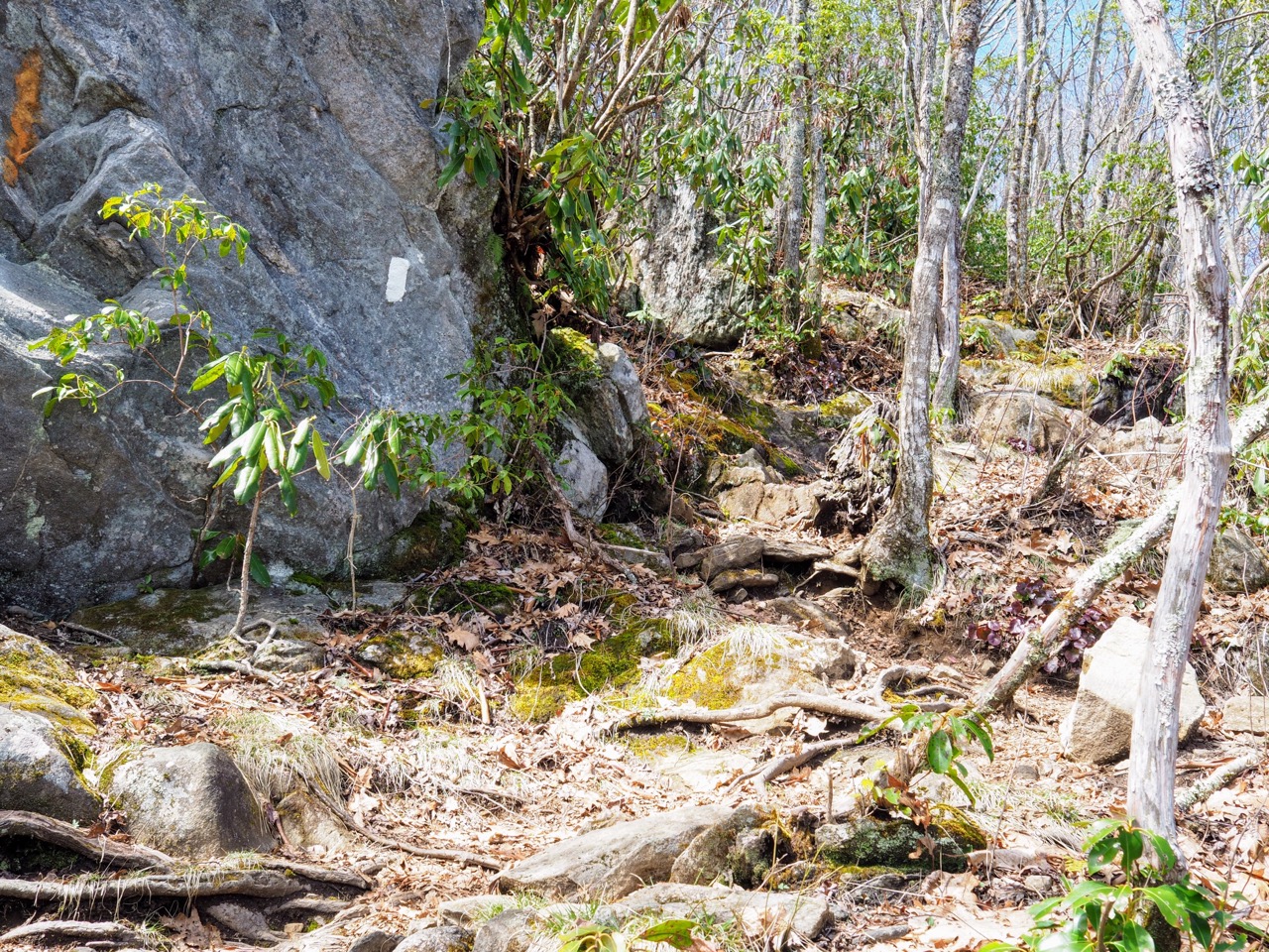
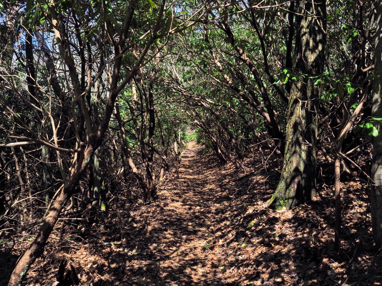
i hiked along the side of a very steep cliff. to my left was the wall of the mountain, to the right bushes of mountain laurel, and just below them sheer rock face. one wrong step could be my last. it was also a place that probably had decent mobile service. i found a safe, dry place, and sat down in the middle of the trail and called maggie.
there was no way to continue. the trail was effectively closed. even if i could have snuck through smokey mountain national park (a two to three day walk), there were myriad closures along the trail. the entire state of maryland was closed to all camping.
i decided to call kirsten, who i thought lived in hot springs to see if she could bail me out. that wouldn’t be a problem. if COVID provides one thing, it’s free time. we agreed to meet at wallace gap, about 7.5 miles from me. it turns out kirsten lives in ashville, but in her email to me when i announced the blog she suggested we meet in hot springs.
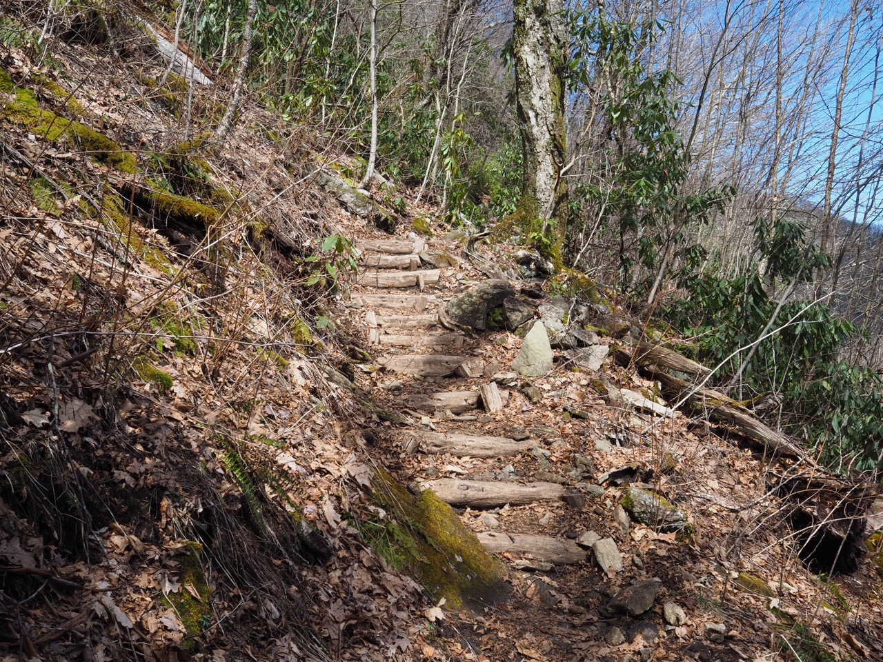
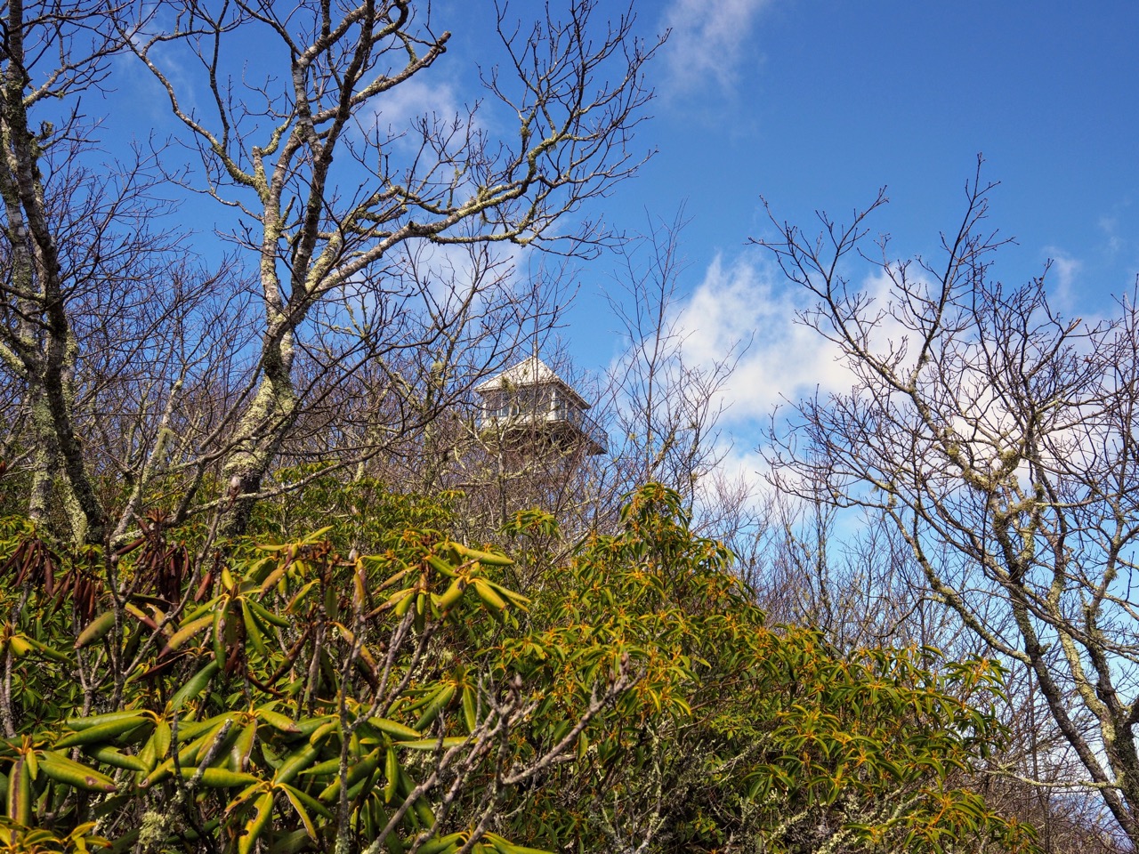
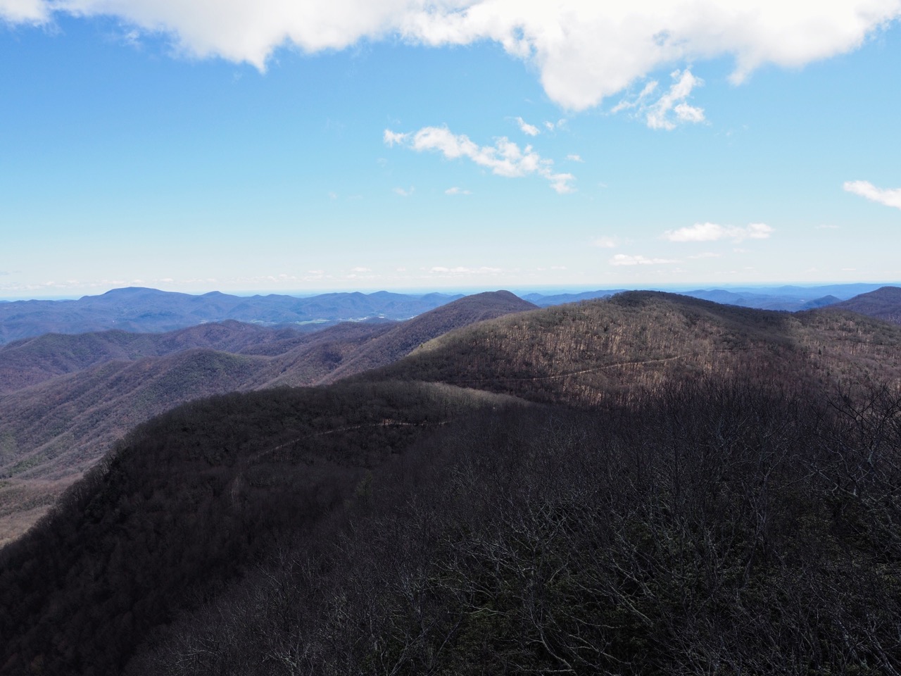
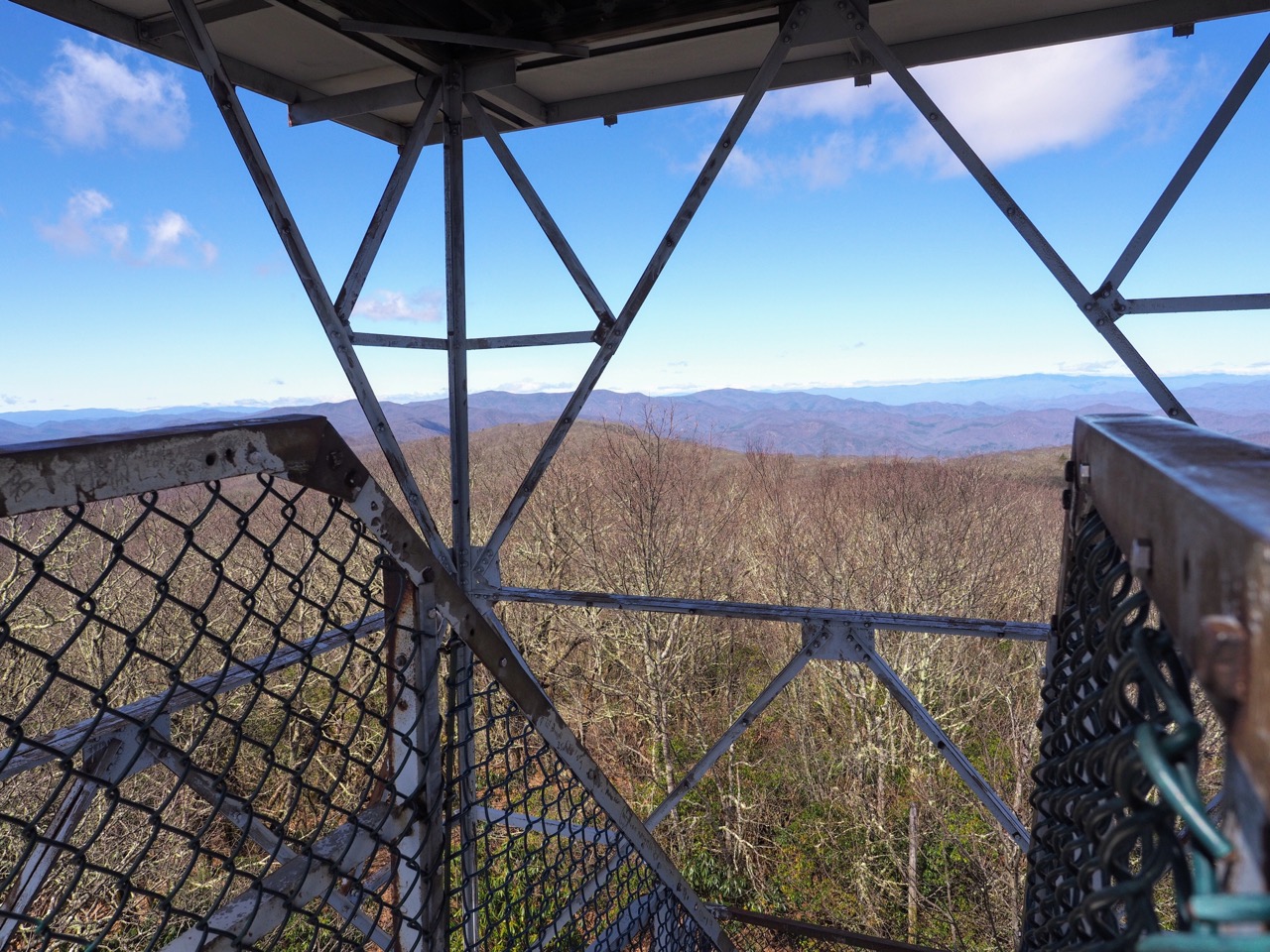
i had to get moving, i had to cover 7.5 miles in 2 hours. the terrain was fairly easy and i made good time. presently i approached albert mountain, which is topped with a fire tower.
when i got to the base of the tower, i dropped my pack and went to grab my tripod. (landscape photos are very sensitive to any motion) i discovered that i left it about 10 miles back, attached to a mountain laurel. remember that crappy photo i took? that’s where my tripod is. had i not been on a deadline to meet kirsten, i would have jogged back without my pack and retrieved it, but as it was, it became a hiker donation. i hope whomever finds it appreciates it. i’m sad to have lost it, as i had that tripod in alaska when i was there. other than that however, it’s easily replaced.
i climbed the steps of albert mountain fire tower, and slapped in my wide angle lens.

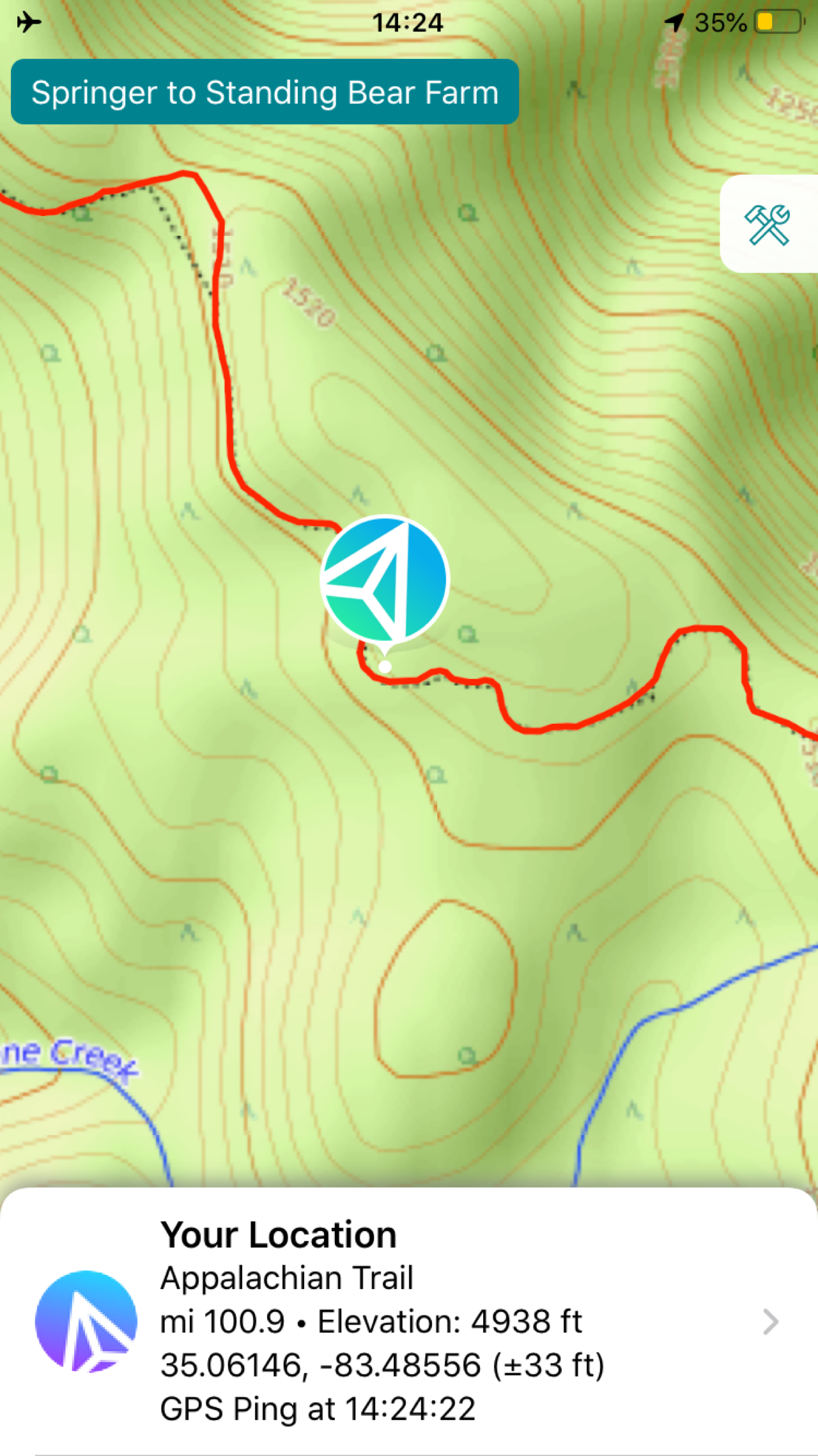
shortly after albert mountain fire tower i reached 100 miles traveled.
the trail descended through the mountain laurel and into a sparse forest. it looked like the hike of the seven sisters i did just a few days before i left.
just as i was passing rock gap shelter i ran into kirsten who was hiking up the trail. she had only been hiking 3 minutes when she got to me. she had decided to park at rock gap rather than wallace gap, and thankfully i hadn’t already passed. wallace gap was only 0.8 miles, so it wouldn’t have been too much of a problem.
kirsten drove me to her home and this is when i learned she lives in ashville and not hot springs. we chatted about life during COVID. i was happy that we were in a newer prius hybrid as it was quiet. my brain could relax a bit.
we got to kirsten’s home and i met daniel and beans, their dog. i threw all my clothes in the washer, was offered a beer, and took it into the shower with me. (if you’ve never had a shower beer after a hot day of work, you should try it.) wasn’t my first time, nor will it be my last.
i chatted with maggie who was amazing and researched all the possibilities for me to get home. we decided on flying, and she handled it all. thanks, babe.
i was treated to dinner, pizza, fancy ashville beers, and my own bag of sour patch kids. as i keep saying, trail magic comes in all forms. it was nice to just be able to continue to focus on needs like food and laundry and not a lot else. i was still reeling from essentially being kicked off the trail.